“I take photographs to hold on to the ephemeral, capture chance, keep an image of something that will disappear, gestures, attitudes, objects that are reminders of our brief lives. The camera picks them up and freezes them at the very moment that they disappear.” — Sabine Weiss
Thank you, John, for another quote to use this week. If anyone else has quotes for me to use, please pass them along.
This was a strange week for photos. We had snow Sunday through Thursday and no power most of the week. All these photos are from this week on the correct day. Many looks similar because the weather was the same most of the week. The wet heavy snow on the trees looked wonderful.
Sunday, 01/22/2023: Posted photo — House in the Snow.
As this week began, we had snow on the ground and were close to losing power. It was a black and white world with the trees and sky being white and the roads being black. I took a photo of this house to show that the world still had color. The red door just pops out from the white world around it.

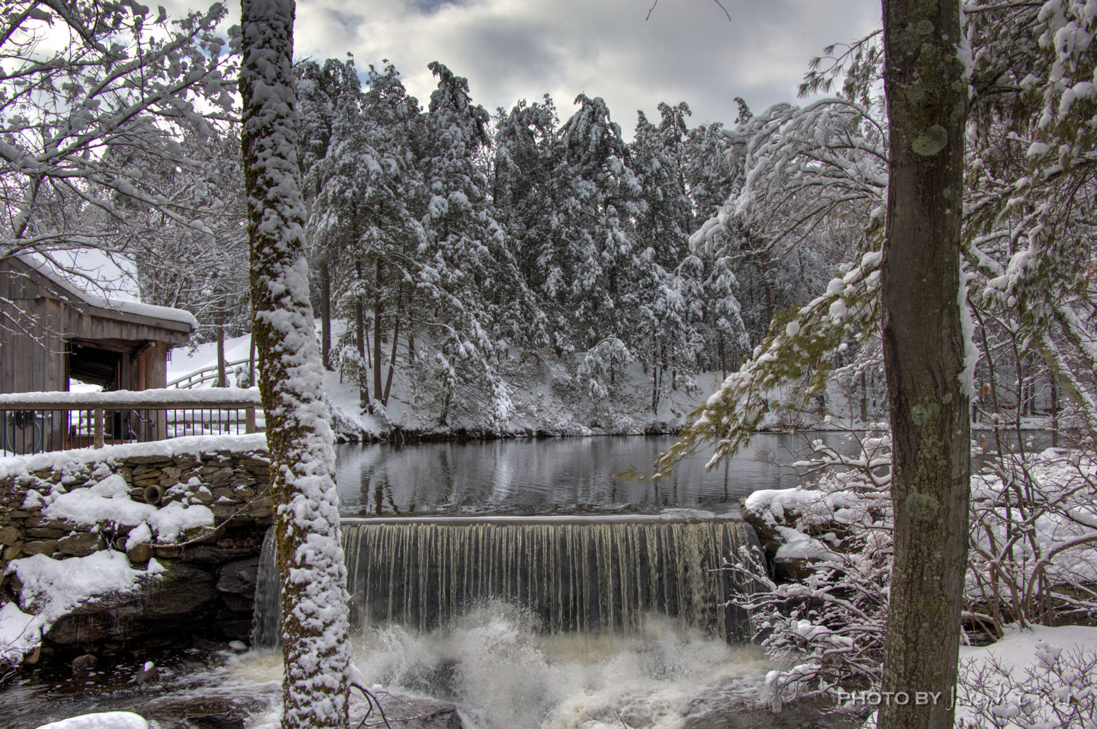
Monday, 01/23/2023: Posted photo — Round Meadow Dam.
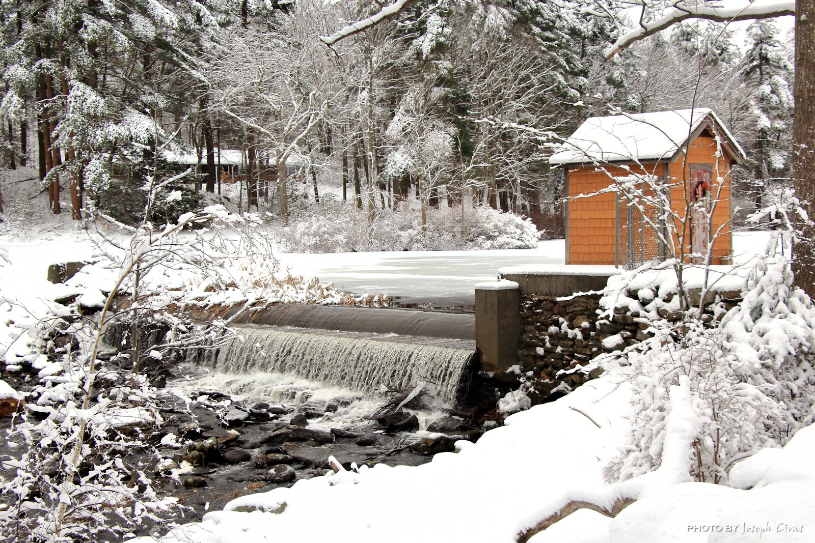
One of my favorite locations to photograph, the dam at the end of Round Meadow Pond. Today the dam and the falls looked spectacular. I was pleased by the amount of water going over the dam. I was glad it was not a trickle. A trickle of water over the dam would not take a good photo.
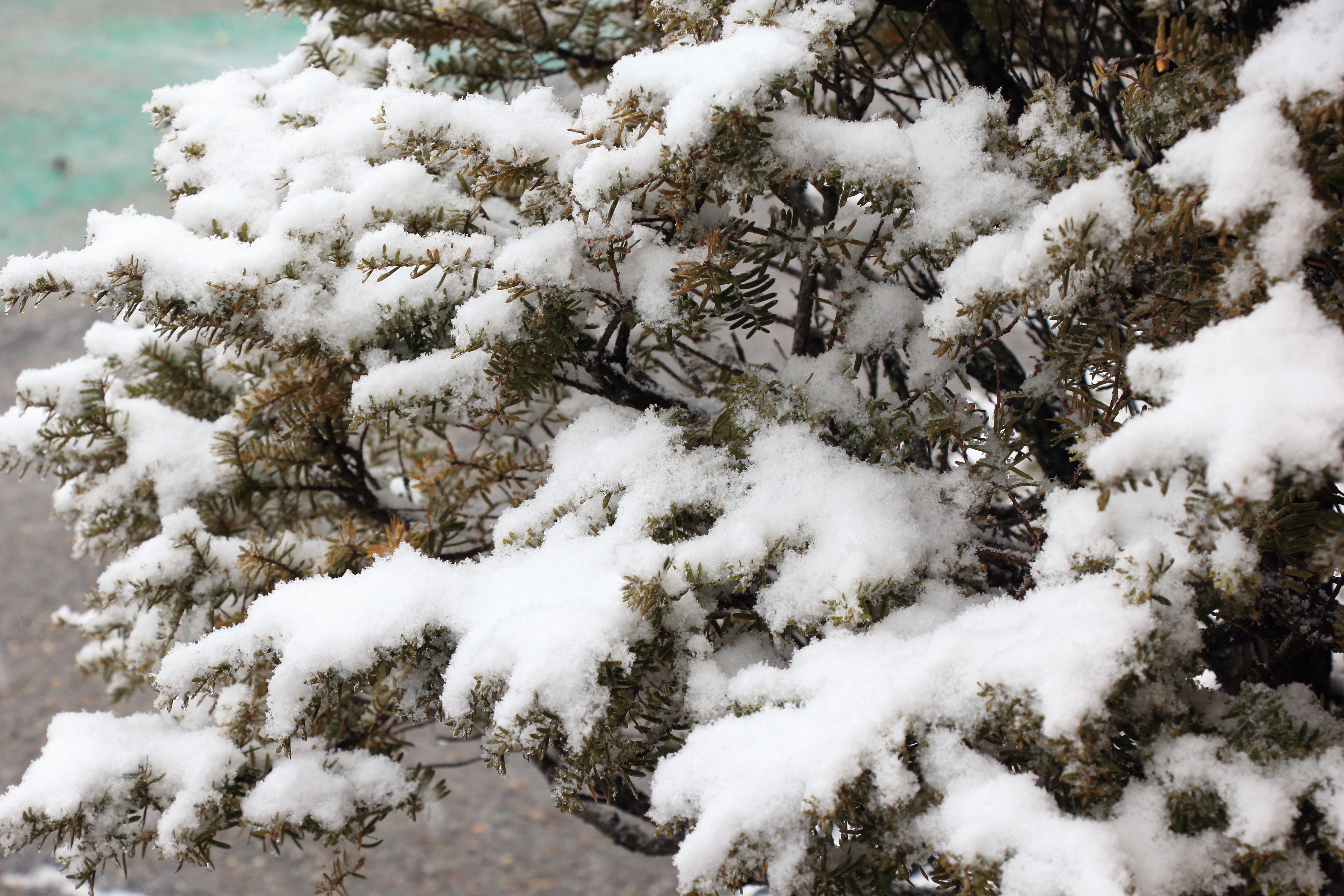
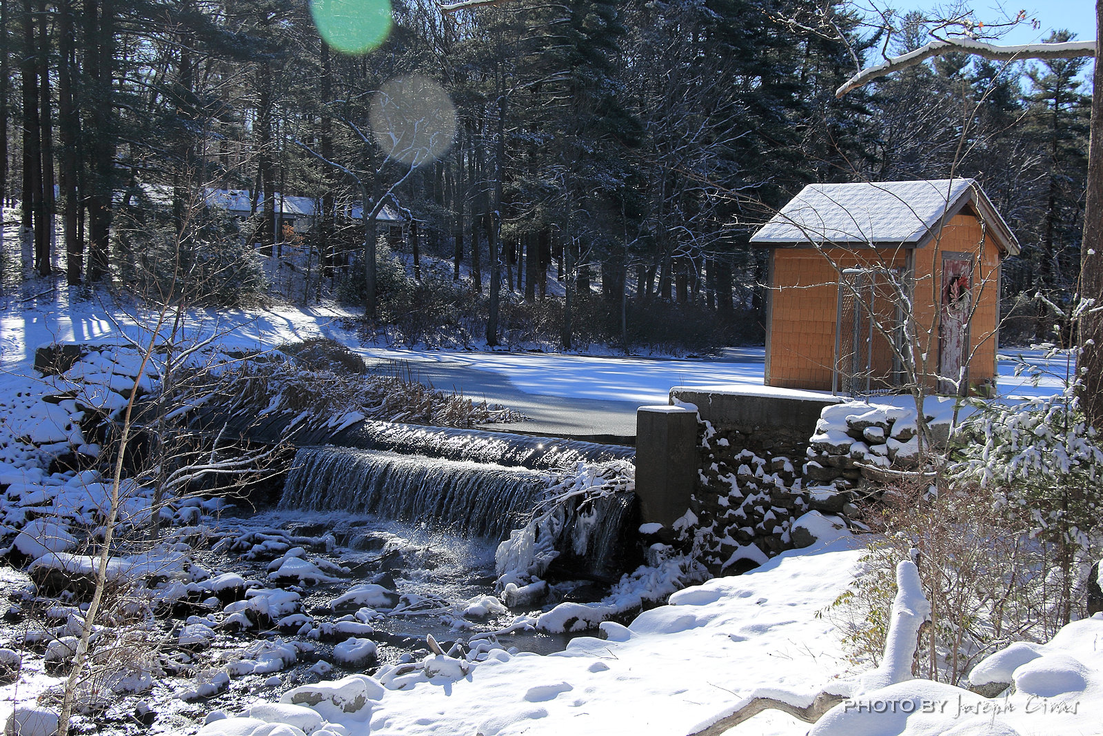
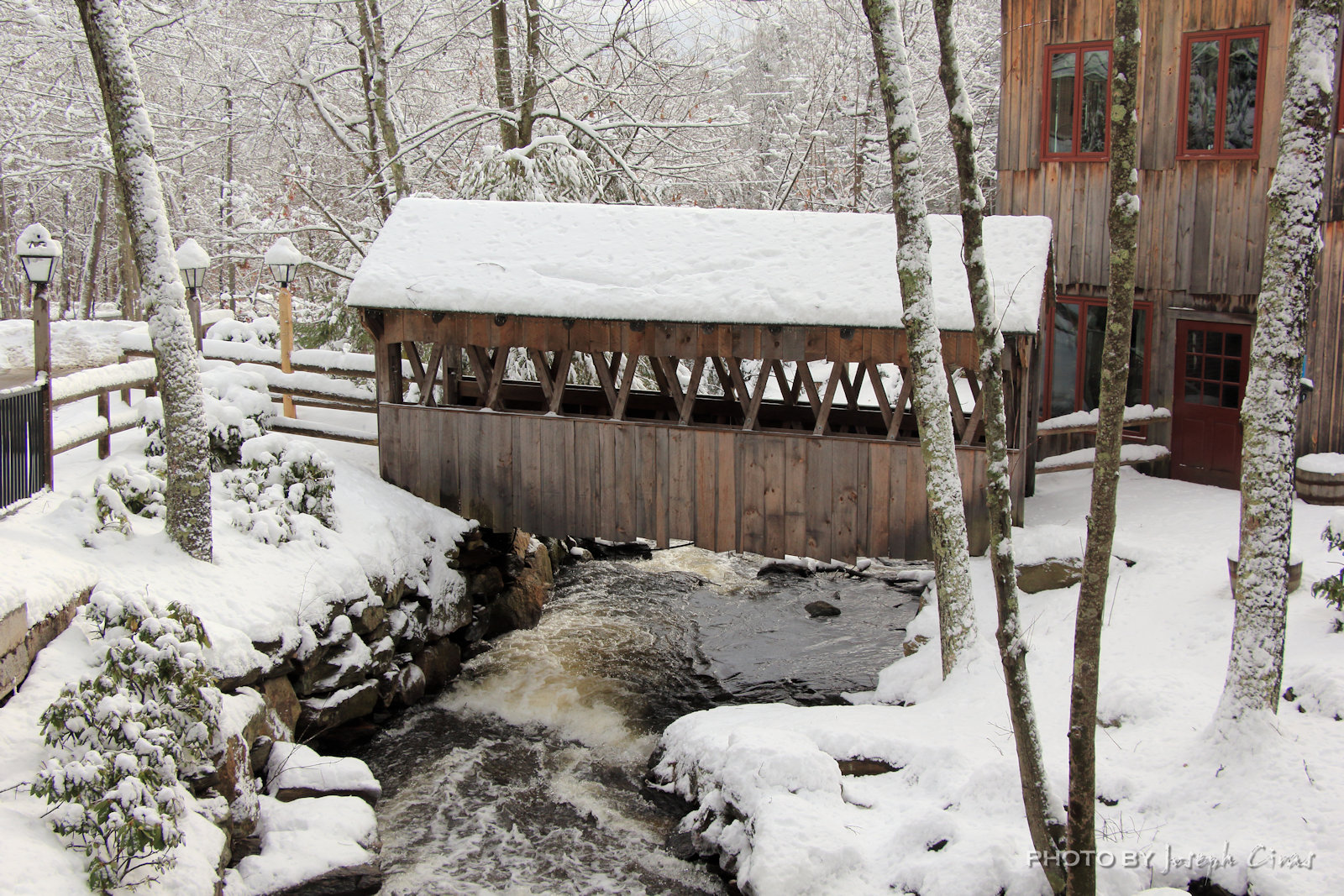
Tuesday, 01/24/2023: Posted photo — Dam at the Old Mill.
This is one of my favorite photos that I have taken over the years. I think it is because of the framing and the snow on the conifer trees. What do you think?
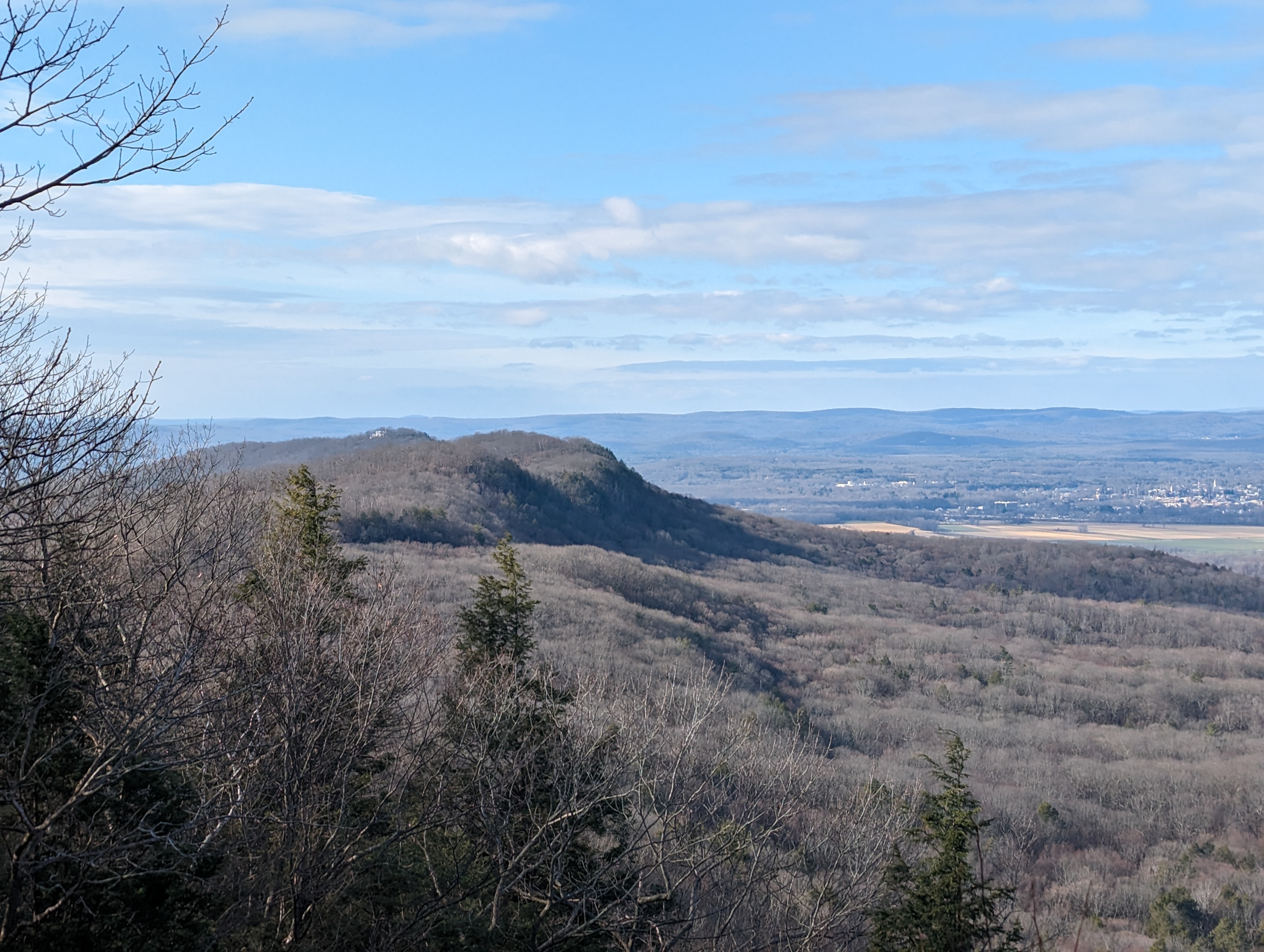
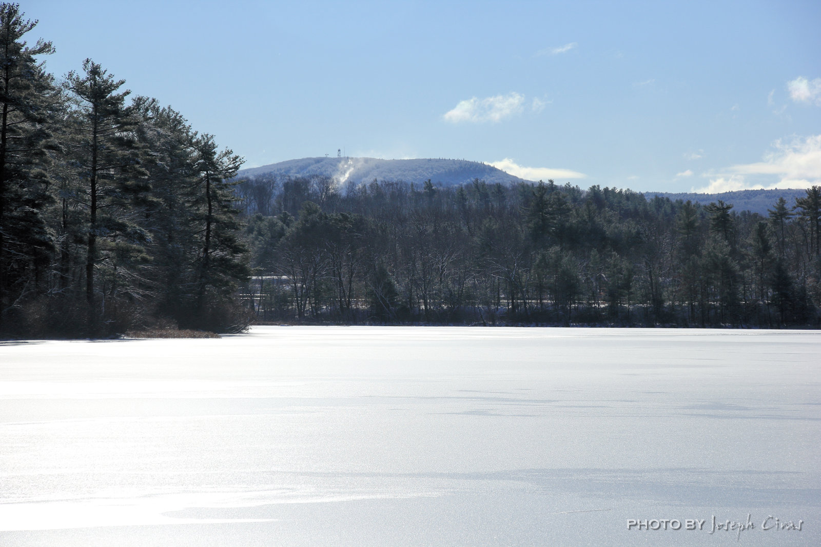
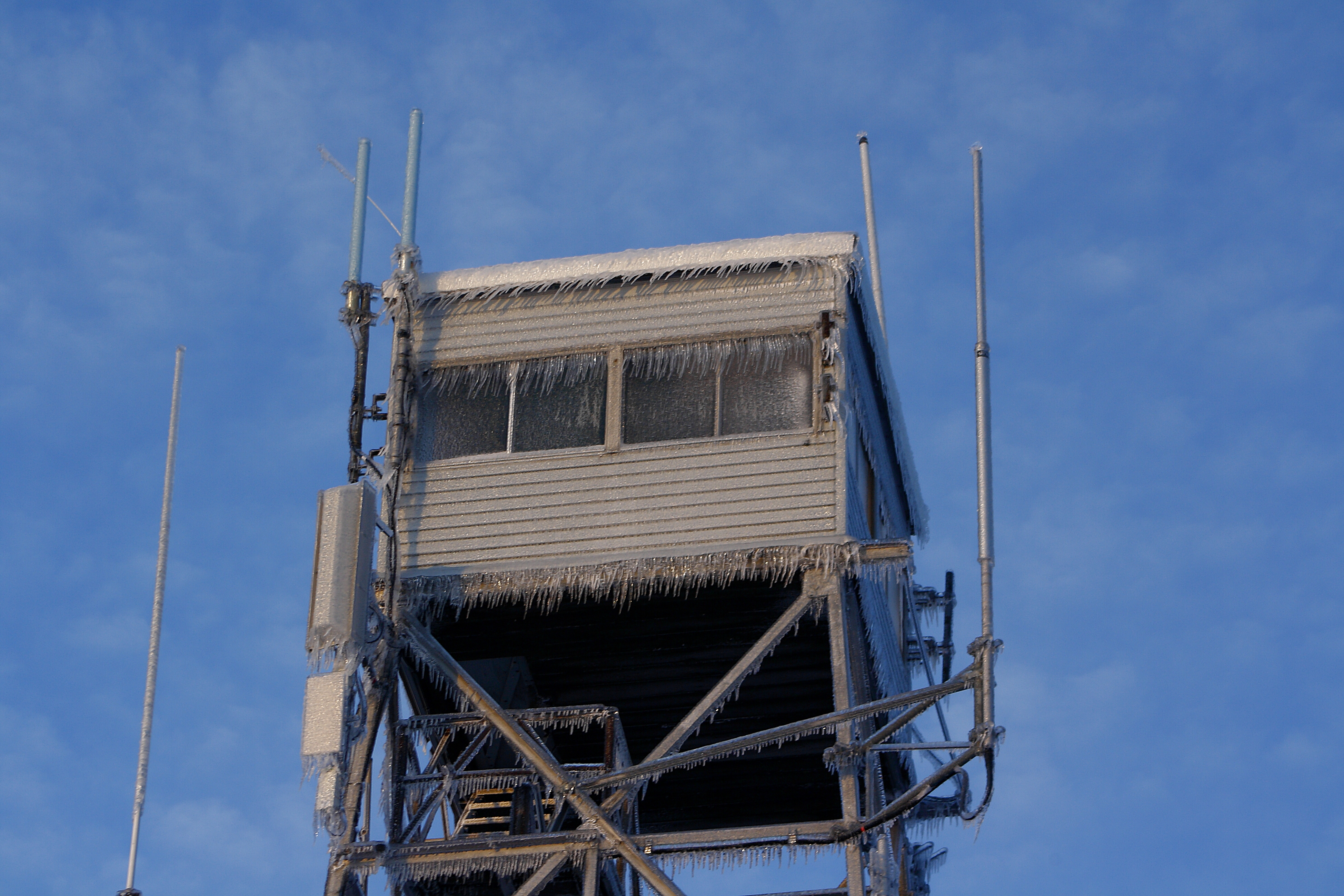
Wednesday, 01/25/2023: Posted photo — Wachusett Mountain.
I had to go home this morning to start our generator. We lost power for the third time in three days. It was out most of the night and the morning. I had to start it so that our refrigerator could still be working. I have a dual fuel generator and the gas side does not work so I can only use the propane side. Need to get that fixed. I have run the gas side this summer just to keep everything working.

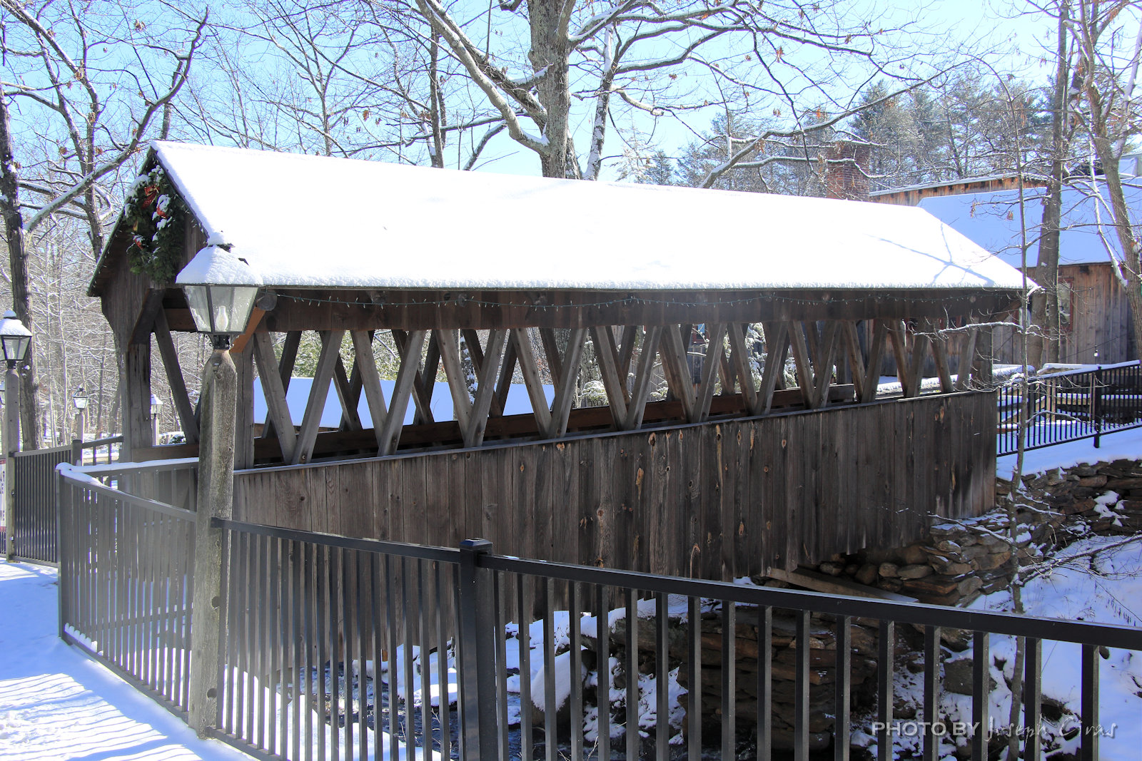
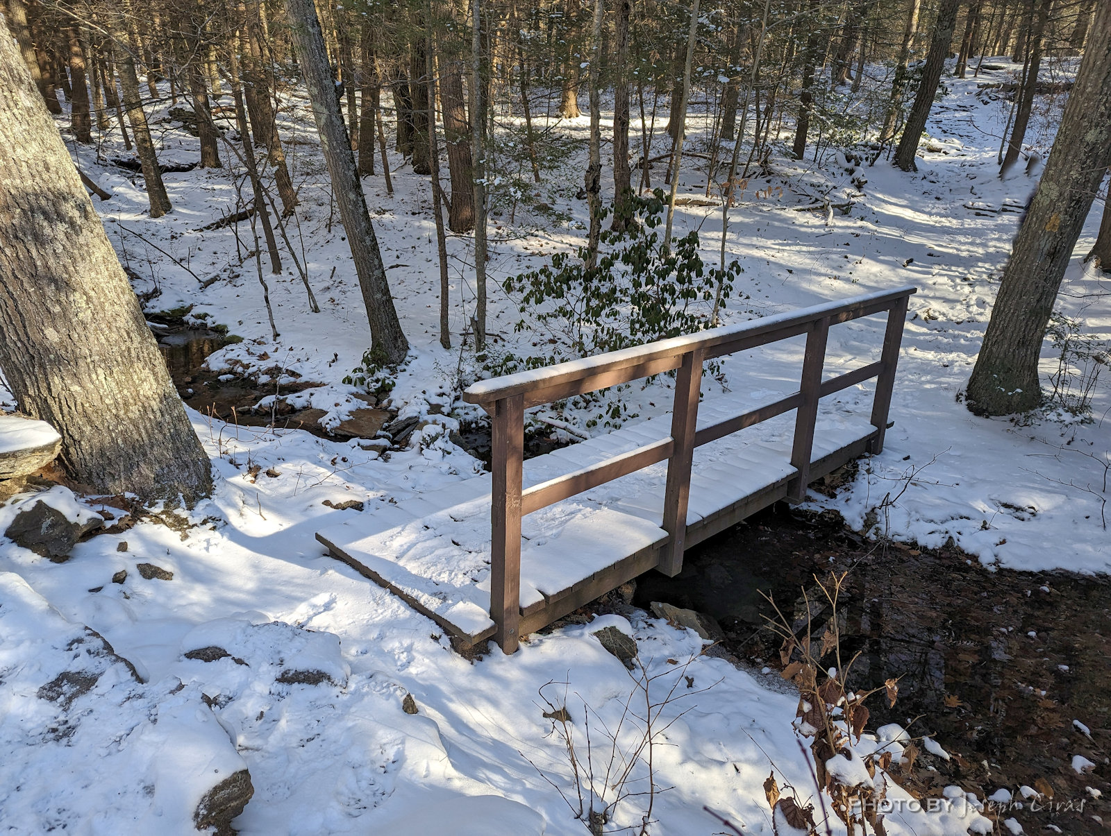
Thursday, 01/26/2023: Posted photo — Walkway.
Back to the Old Mill to take more photos. I intended to take photos of the ducks and geese in the duck pond but decided to take a photo of the walkway since it still had snow on it.
Friday, 01/27/2023: Post photo — Droplet.
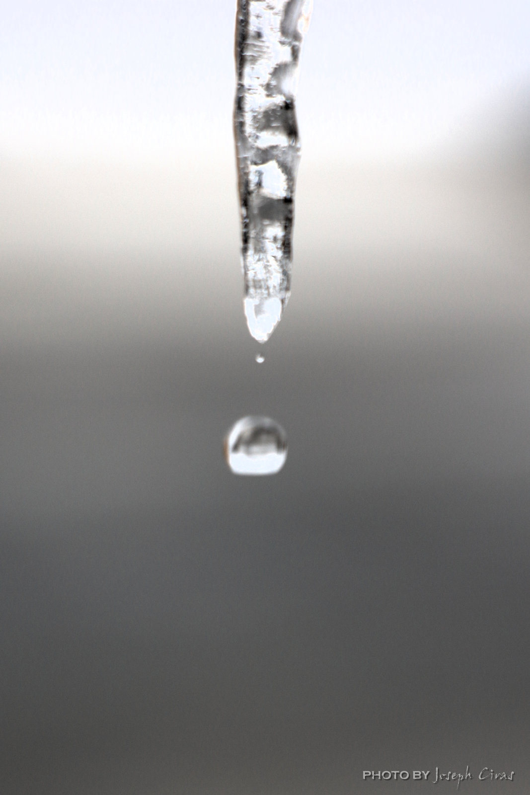
The weather is warming up after the storms have passes. I practice droplet photos every year. I get better by the end of the winter.
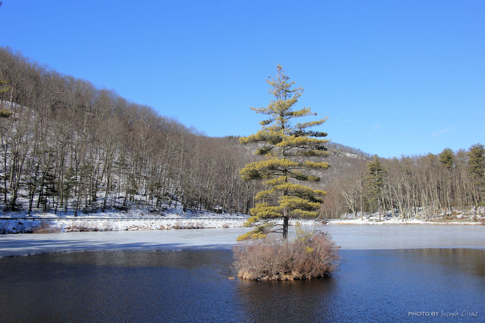
Saturday, 01/28/2023: Post photo — Lonely Tree.
I have a photographed this tree in the Leominster State Forest several times. When I walked out to this tree, I had to step over many branches that have fallen during the storm. On my way back from taking this photo, I had to dodge a branch that was falling. I heard it break off the tree and luckily a branch slowed the fall so I could get out of the way.
For more photo of other projects I have work, visit my website: https://photobyjosephciras.weebly.com or visit me on Facebook at https://www.facebook.com/PhotobyJosephCiras/.