Photographic Thoughts — 04/03/2022 to 04/09/2022

“Photography is a way of feeling, of touching, of loving. What you have caught on film is captured forever… It remembers little things, long after you have forgotten everything.” — Aaron Siskind

Thank you for all the new views and likes from last week, it helps keep me inspired.

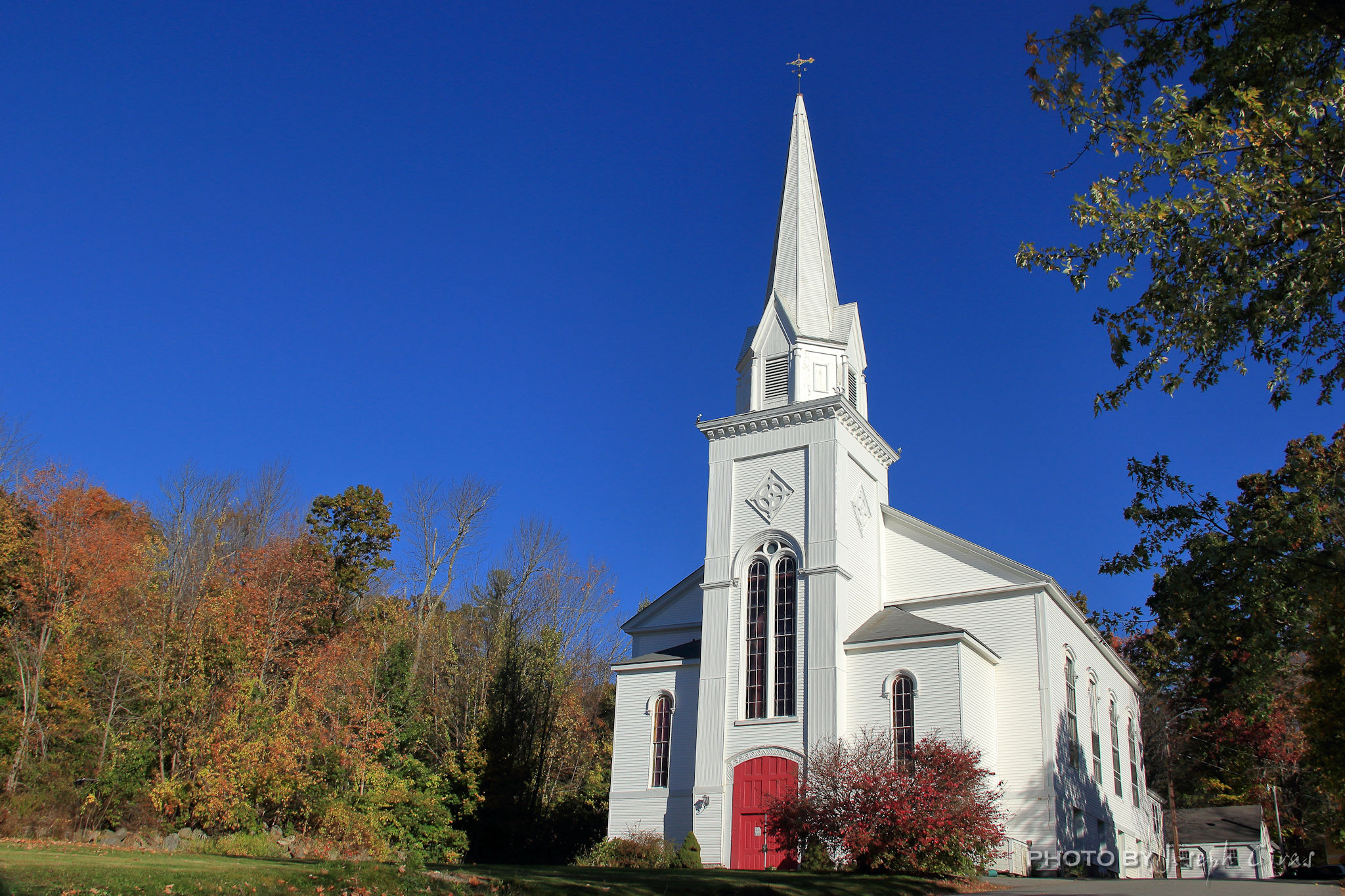
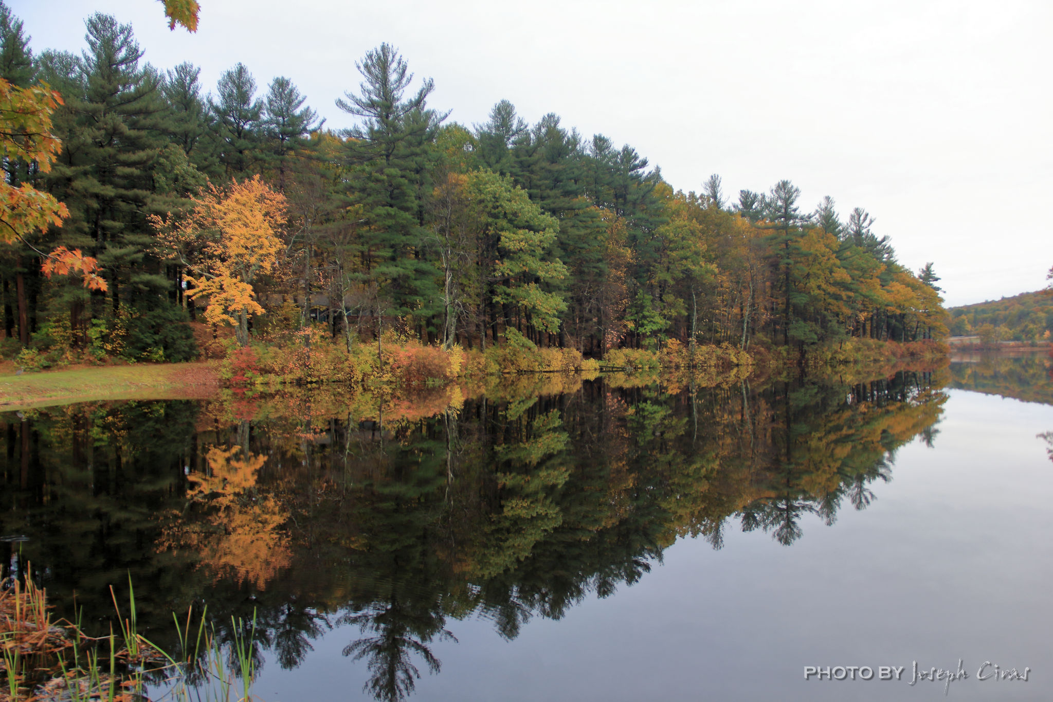
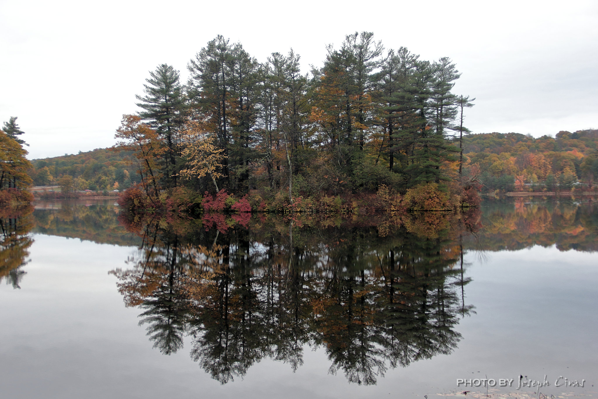
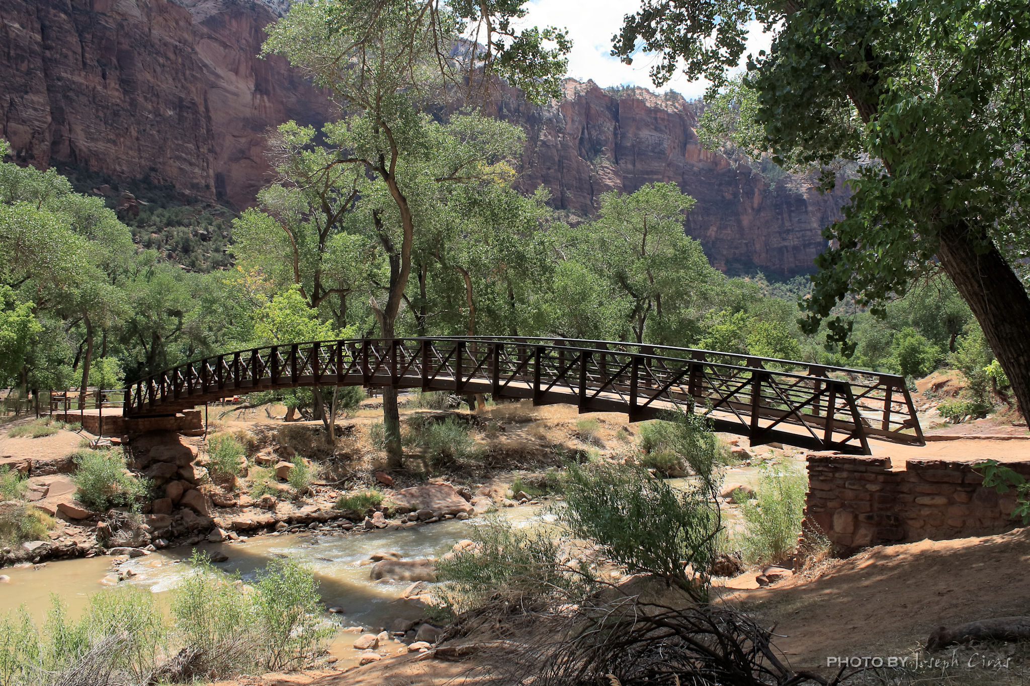
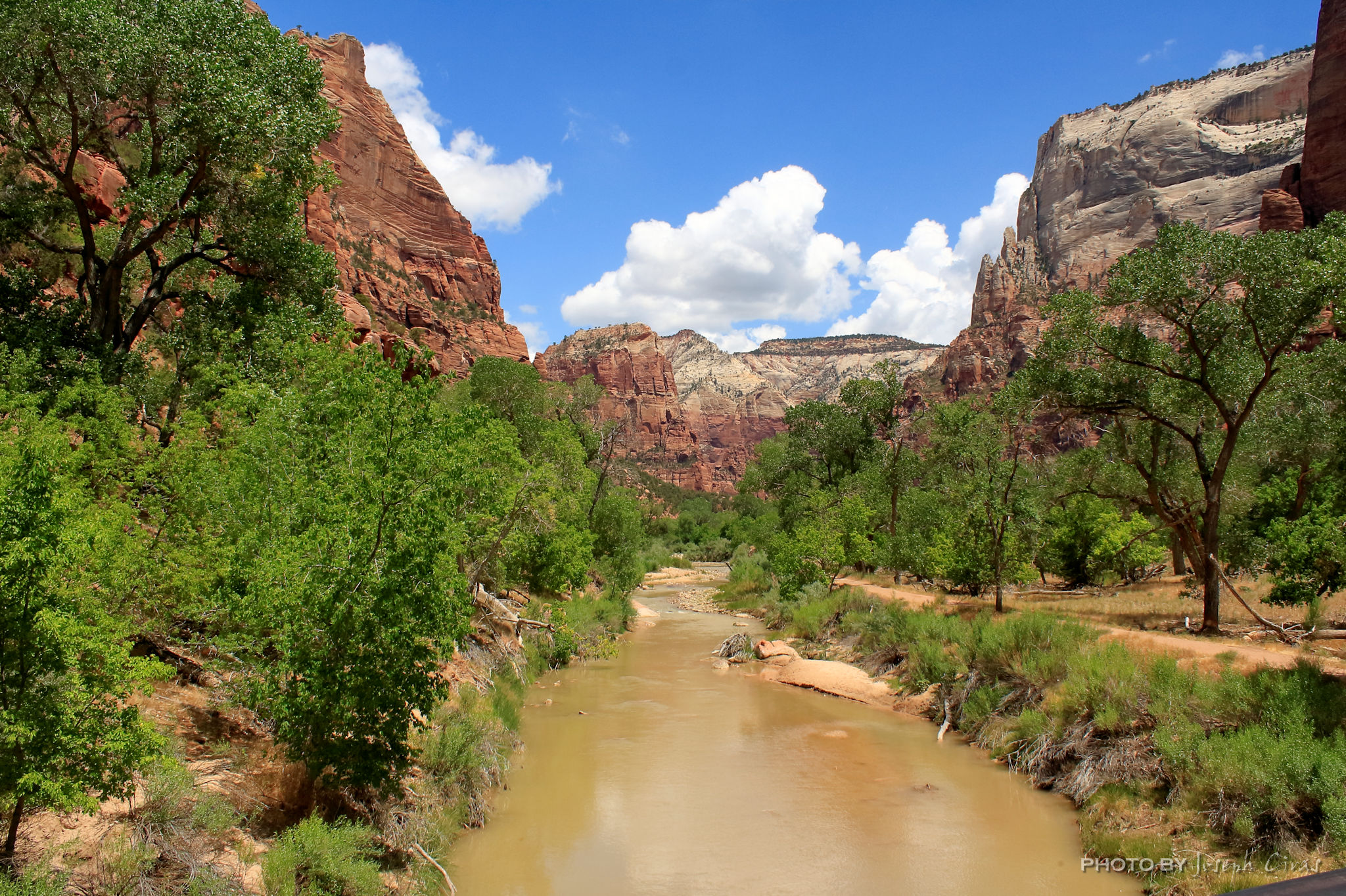
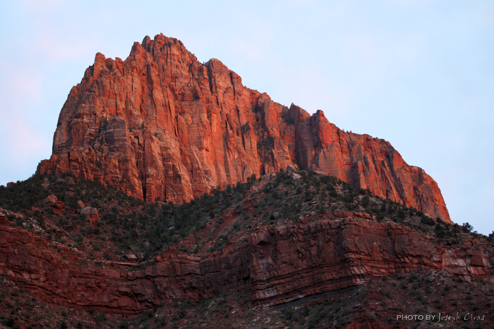
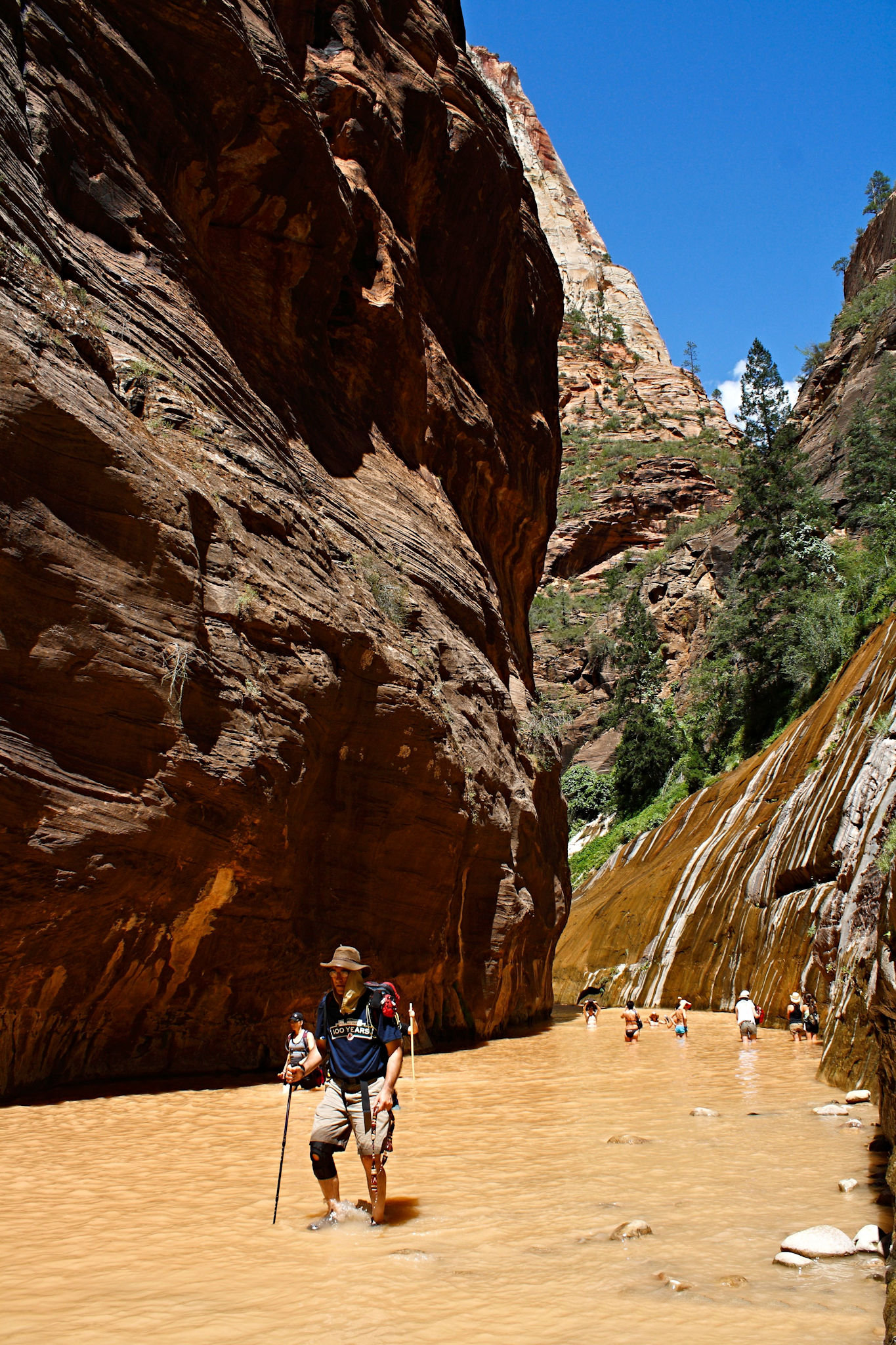
Here are some more photos of a road trip we took. Looking forward to traveling again this summer. Hiking will be limited, but I will pick up my 50th state (North Dakota).

This week’s blog will only contain information that I have referenced off various web sites. This was the easiest way for me to describe each location. I could ramble on and on about the wonders and beauties of each of these parks.

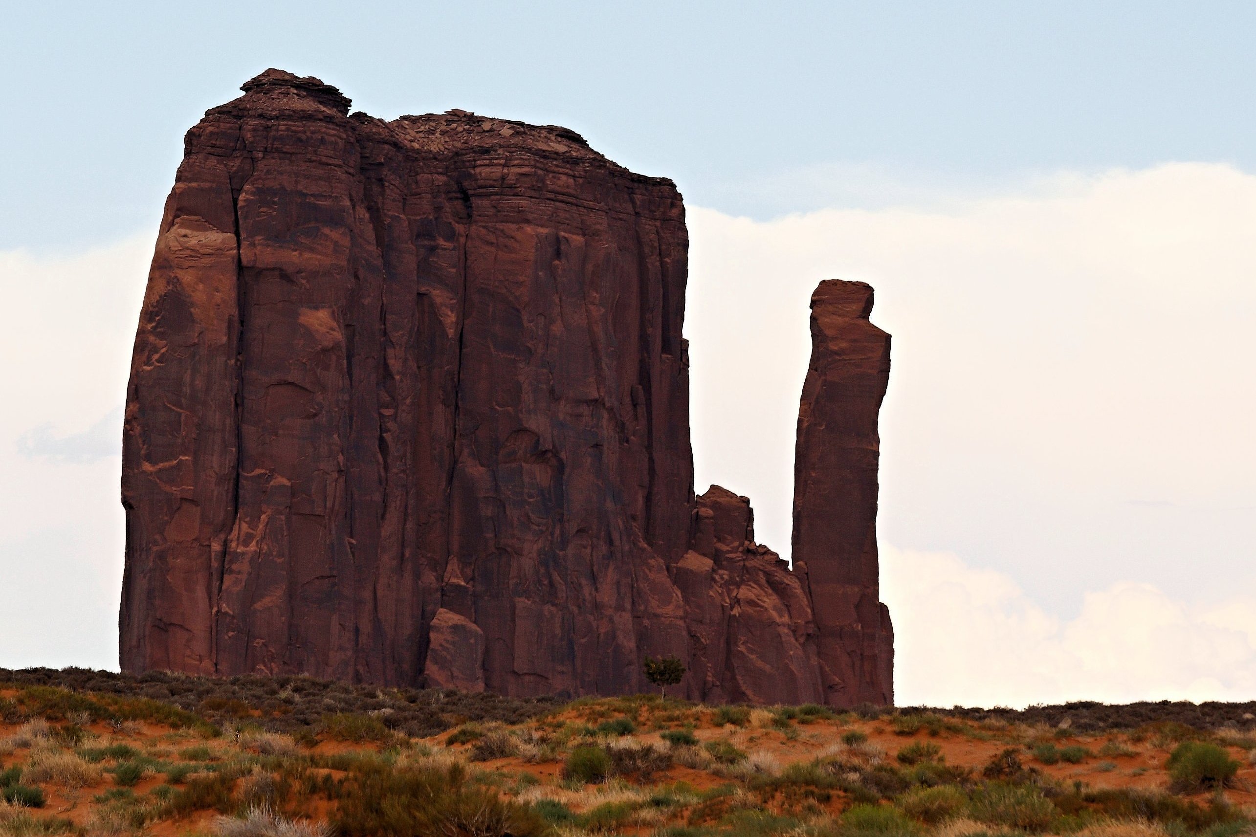
Sunday, 04/03/2022: Posted photo — Monument Valley.

Settings: Canon EOS DIGITAL REBEL XS, ISO 200, f/7.1, 1/400 s, 150 mm.

“Monument Valley, a red-sand desert region on the Arizona-Utah border, is known for the towering sandstone buttes of Monument Valley Navajo Tribal Park. The park, frequently a filming location for Western movies, is accessed by the looping, 17-mile Valley Drive. The famous, steeply sloped Mittens buttes can be viewed from the road or from overlooks such as John Ford’s Point.” ― Google

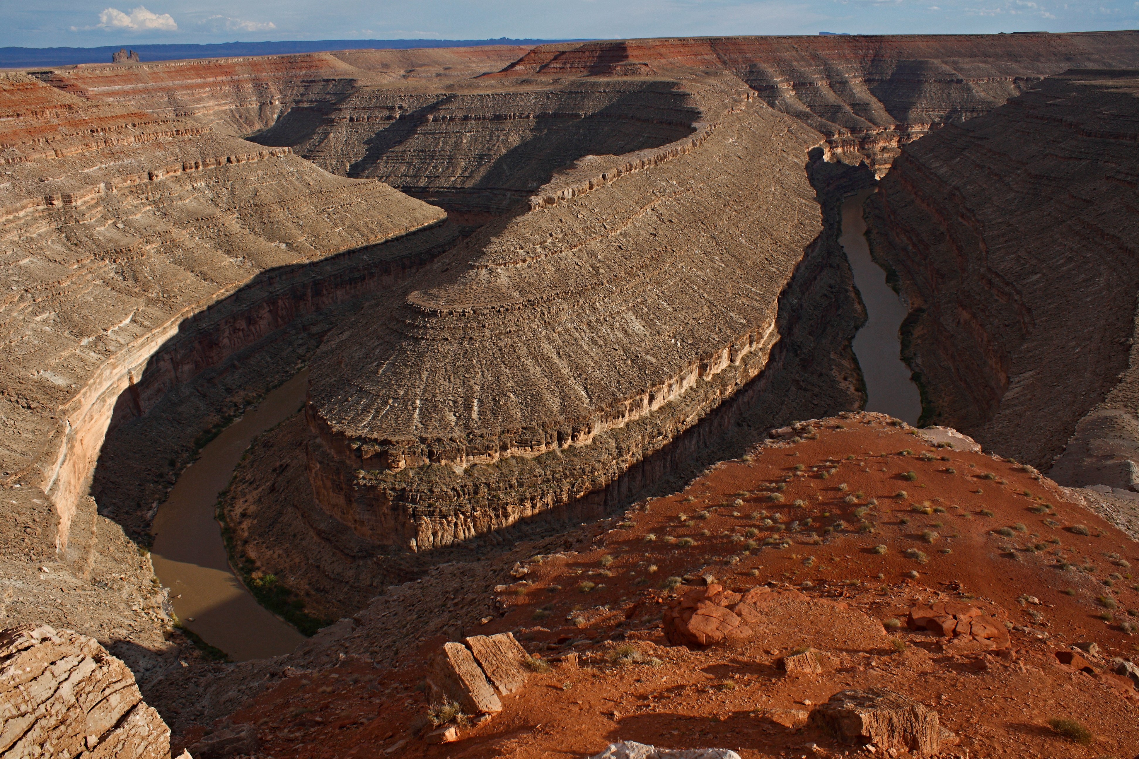
Monday, 04/04/2022: Posted photo — Goosnecks State Park.

Settings: Canon EOS DIGITAL REBEL XS, ISO 200, f/11, 1/250 s, 18 mm.

“On the edge of a deep canyon above the sinuous river meander known as a gooseneck, this small park affords impressive views of one of the most striking examples of an entrenched river meander on the North American continent. The San Juan River twists and turns through the meander, flowing a distance of over six miles while advancing one and a half miles west on its way to Lake Powell. Gaze at the results of 300 million years of geological activity, where the San Juan River winds and carves its way through the desert 1,000 feet below.”https://stateparks.utah.gov/parks/goosenecks/

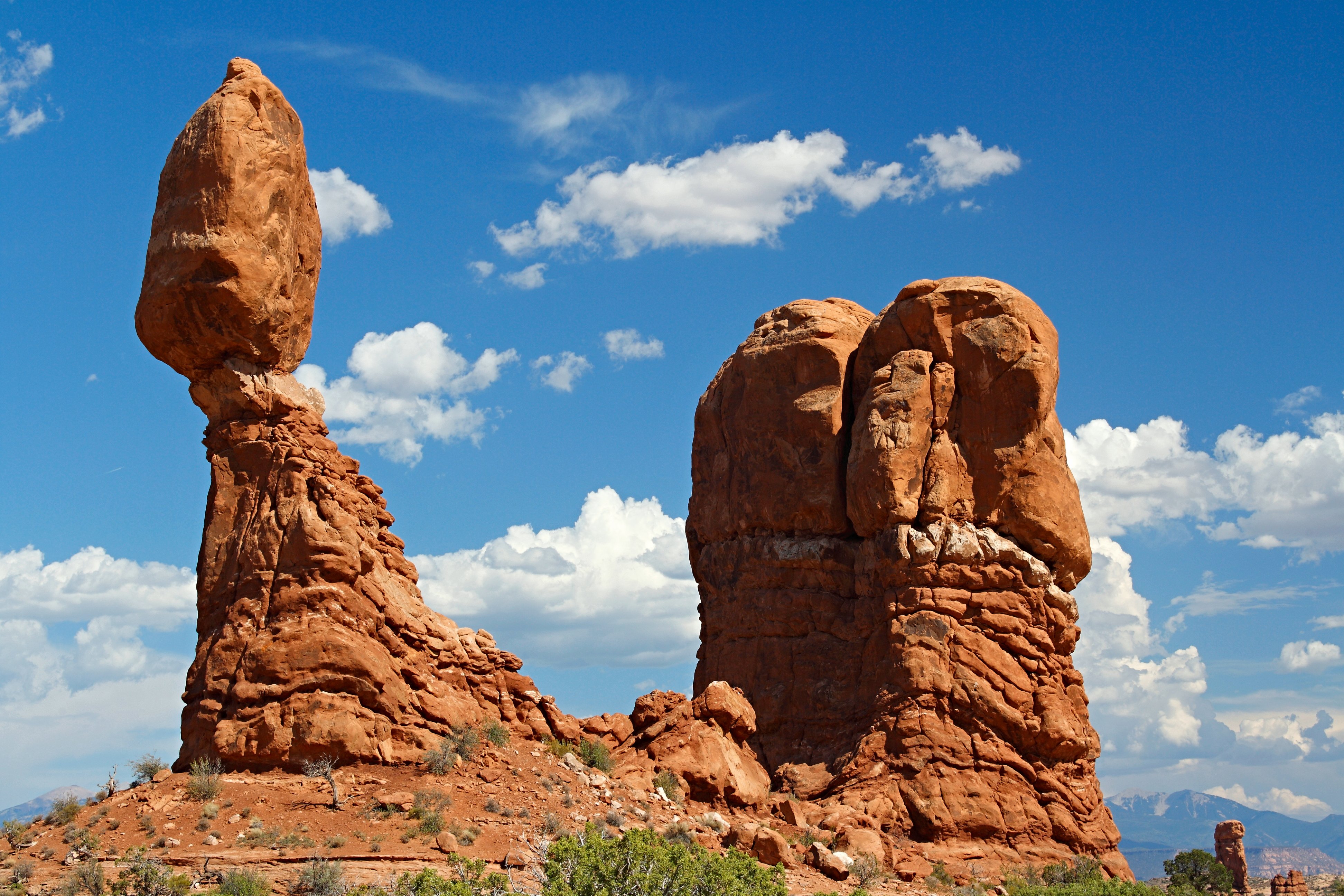
Tuesday, 04/05/2022: Posted photo — Balance Rock.

Settings: Canon EOS DIGITAL REBEL XS, ISO 100, f/8, 1/125 s, 45 mm.

Arches National Park

“Balanced Rock, one of the most iconic features in the park, stands a staggering 128 feet (39m) tall. While this formation may appear to be an epic balancing act, it’s actually not balanced at all. The slick rock boulder of Entrada Sandstone sits attached to its eroding pedestal of Dewey Bridge mudstone. The exposure of these two rock strata layers are ideal for the formation of arches and balanced rocks.”https://www.nps.gov/arch/planyourvisit/balancedrock.htm

Wednesday, 04/06/2022: Posted photo — Landscape Arch.

Settings: Canon EOS DIGITAL REBEL XS, ISO 200, f/8, 1/125 s, 24 mm.

Arches National Park

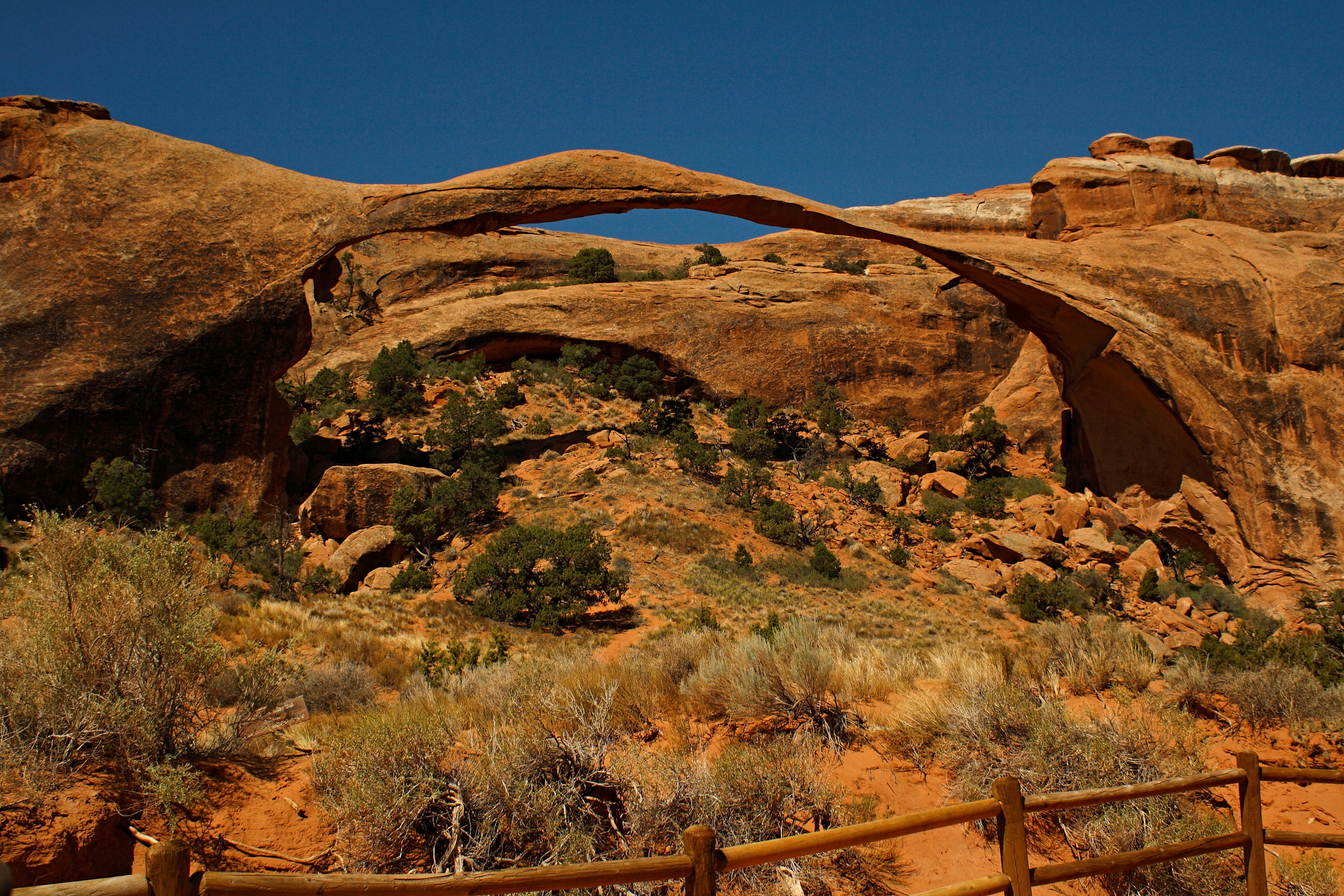
“Landscape Arch is the longest arch in North America with a light opening of 306 feet (93.3 meters). This awe-inspiring expanse is only 6 feet (1.8 meters) in diameter at its narrowest. Large segments of the arch came crashing down in the 1990s – proof that the park’s landscape can change dramatically in a instant. Although other arches have fallen, Landscape Arch still hangs on by a very thin thread.”https://www.nps.gov/arch/planyourvisit/devils-garden.htm

Thursday, 04/07/2022: Posted photo — Amphitheater.

Settings: Canon EOS DIGITAL REBEL XS, ISO 200, f/10, 1/200 s, 42 mm.

Bryce Canyon National Park

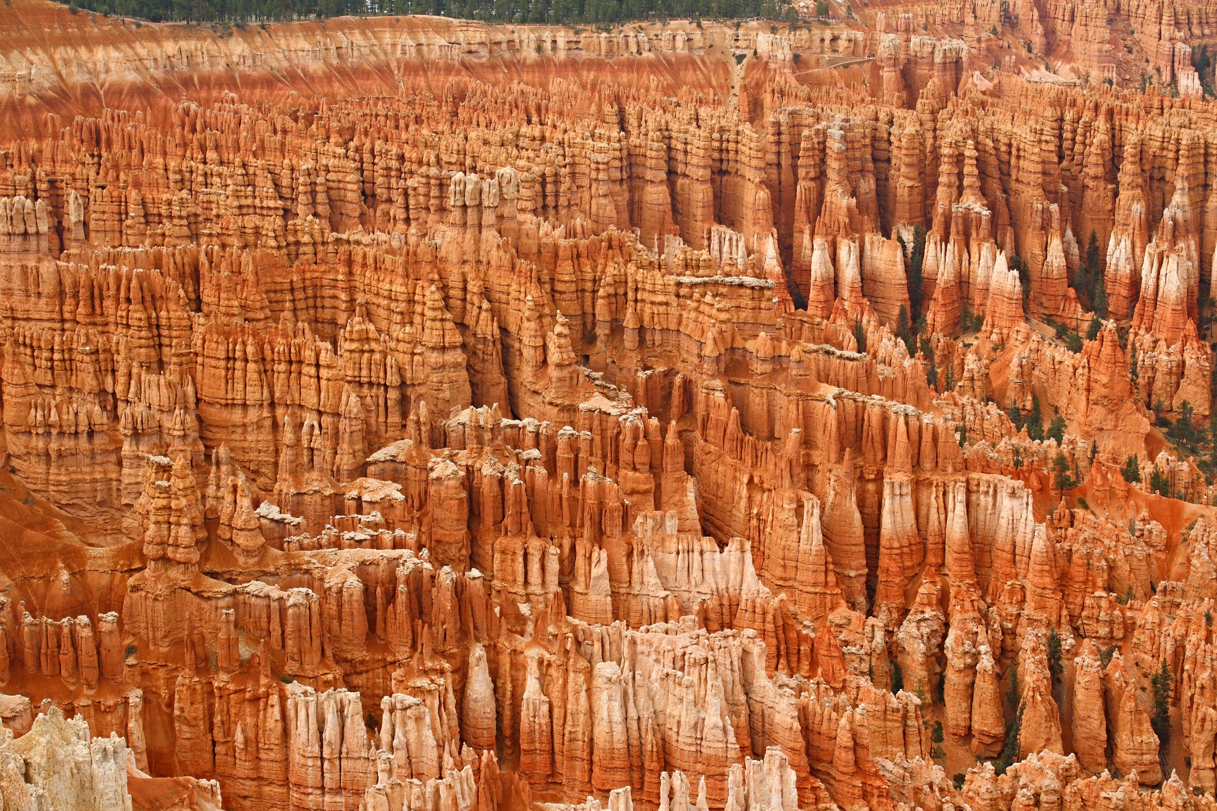
“By far the most iconic section of the park, the Bryce Amphitheater is home to the greatest concentration of irregular rock spires (called “hoodoos”) found anywhere on Earth. Viewpoints along the first 3 miles (4.8 km) of the main road provide access to views overlooking this area. This area is referred to as an “amphitheater” as it is a bowl-shaped area shaped by the drainage of seasonal rains and melting snow (not truly a canyon, as those are shaped by flowing rivers)”https://www.nps.gov/thingstodo/see-the-bryce-amphitheater.htm

Friday, 04/08/2022: Post photo — View from Navajo Bridge.

Settings: Canon EOS DIGITAL REBEL XS, ISO 200, f/10, 1/125 s, 48 mm.

View from the Navajo Bridge

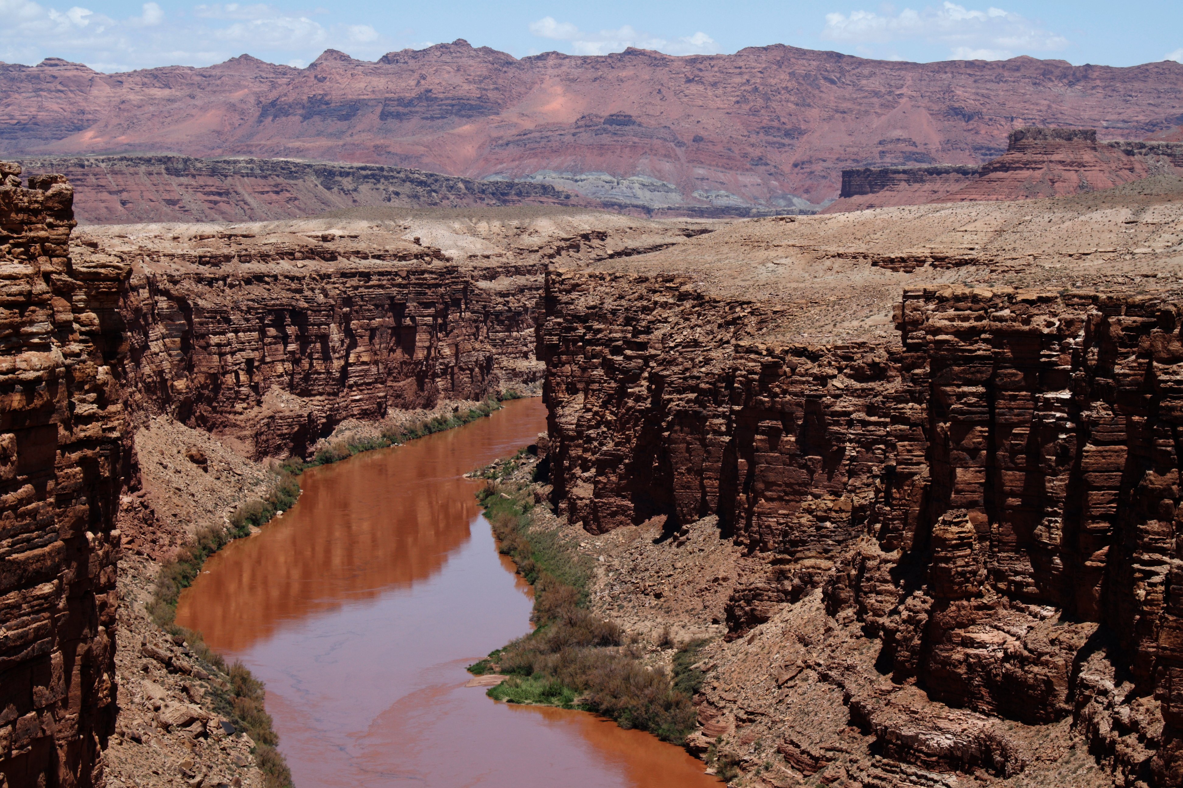
“Those traveling across the country on Highway 89A between Bitter Springs and Jacob Lake, AZ arrive at two bridges similar in appearance spanning the Colorado River. These two bridges, one historic and one new, represent one of only seven land crossings of the Colorado River for 750 miles (1207 km).”https://www.nps.gov/glca/learn/historyculture/navajobridge.htm

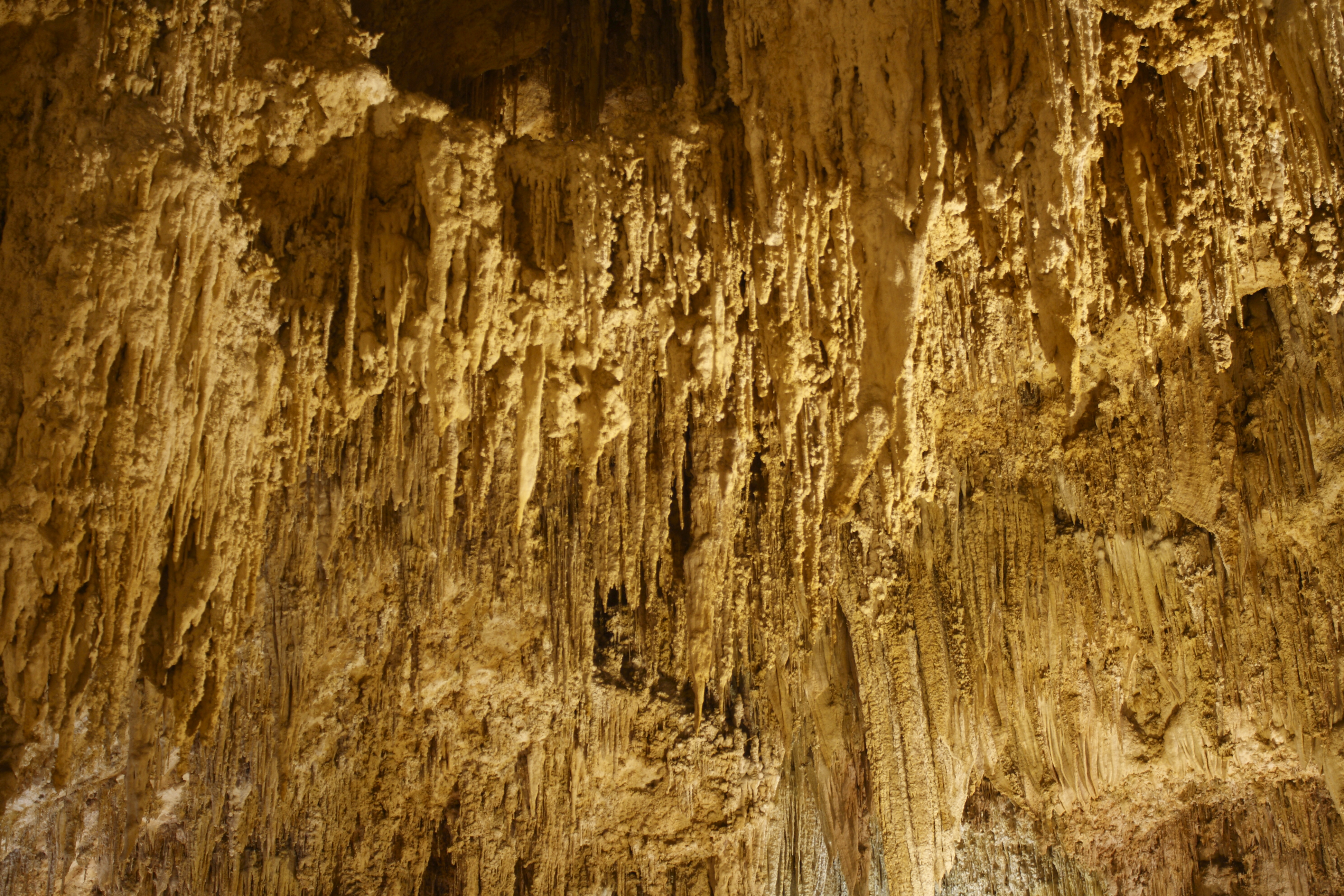
Saturday, 04/09/2022: Post photo — Carlsbad Caverns.

Settings: Canon EOS DIGITAL REBEL XS, ISO 200, f/4.5, 6 s, 33 mm.

“High ancient sea ledges, deep rocky canyons, flowering cactus, and desert wildlife—treasures above the ground in the Chihuahuan Desert. Hidden beneath the surface are more than 119 caves—formed when sulfuric acid dissolved limestone leaving behind caverns of all sizes.”https://www.nps.gov/cave/index.htm

That is all for now. Until next week, be safe.

For more photo of other project I have work, visit my website: https://photobyjosephciras.weebly.com or visit me on Facebook at https://www.facebook.com/PhotobyJosephCiras/.

Photographic Thoughts — 10/24/2021 to 10/30/2021

“You can look at a picture for a week and never think of it again. You can also look at a picture for a second and think of it all your life.” — Joan Miro

Thank you for all the new views and likes from last week, it helps keep me inspired.

Sunday, 10/24/2021: Posted photo — Ashburnham Community Church.

Settings: Canon EOS 60D, ISO 100, f/7.1, 1/640 s, 18 mm.

The Ashburnham Community Church is now home to the New Dawn Arts Center.

Information off the New Dawn Arts Center website (www.newdawnarts.org). The church was constructed in 1834, the steeple houses a church bell cast by a former apprentice of Paul Revere, and the 1886 pipe organ was installed by Boston organ builder George Hutchings. The church was part of The Underground Railroad.

The Community Church was sold to the Arts Center a few months ago. The congregation of the church was getting smaller so they could not afford to keep the church in operation. The Arts Center is allowing the church to hold services there and all other outreach services are still running at the church, such as a food pantry.

New Dawn Arts Center at the Ashburnham Community Church

I just like the look of churches with their steeples and stained glass. When I was going to church, I was drawn to the contrasting white church and the clear blue sky. The foliage looked to be past, but it did show well in this photo. The church that I belong to is across the street from the Community Church. I have taken photo of this church before and will again since I like its architecture.

Monday, 10/25/2021: Posted photo — Mountain View.

Settings: Canon EOS 60D, ISO 100, f/6.3, 1/80 s, 39 mm.

What a great view from the summit today! As you can see, the summited was fogged in. I had to use my map and compass to find my way down part of the trail. Using a map and compass on Wachusett Mountain is not very common since the fog has not been this dense in a very long time and people look at me strangely when I use them in good weather. I could see the trail ahead of me tonight. I was just verifying the bearings at each trail junction just so I did not head back up the mountain. It was good practice for me.

Fog on the mountain

Over the past few months, I have been taken the bearings at each junction and verifying elevations and coordinate locations with my trail map program and with the paper trail map of the mountain. I am in the process of putting together a detailed map of the mountain to help new and experienced hikers. Map and compass skills are essential to survival. Using these tools on a well hiked mountain is great for learning this skill.

The error most people will make is not accounting for magnetic declination (14° West on Wachusett Mountain). Magnetic declination is the angle between true north and magnetic north. Remember “West is best and East is least.” You add the declination to your reading if the declination is to the West or subtract the declination from the reading if it is to the East. I can adjust my compass for declination prior to use so I do not have to do the math if I am in a dangerous situation. Not all compasses can be adjusted. I would suggest spending a little more money on a compass that can be adjusted. It could save your life. Remember to always practice this skill in a known location prior to any “big” hike. Do not rely on the GPS on your phone.

Tuesday, 10/26/2021: Posted photo — Flowers.

Settings: Samsung SM-G930V (Galaxy S7), ISO 80, f/1.7, 1/60 s, 4 mm

Part of the opening paragraph from the novel “Paul Clifford” by Edward Bulwer-Lytton states, “It was a dark and stormy night; the rain fell in torrents …” It was a dark and stormy day today. Heavy rain, high winds and fog were the norm. I was going to post the following photo for today, a photo of wet foliage.

Bouquet to cheer up the day

I went grocery shopping before I posted my photo and saw the flowers that I posted. I thought of how flowers put smiles on people’s faces and wanted to brighten up this gloomy day. Here is another photo of some more flowers that I took today during my shopping trip to brighten your day.

Secondary post of flowers for the day
The photo that I did not post

Wednesday, 10/27/2021: Posted photo — Reflection.

Settings: Canon EOS 60D, ISO 200, f/3.5, 1/25 s, 18 mm.

I was not intending to take this photo. I was intending to post a photo from either my trip to Alaska, or my trip to Hawaii, since the weather still is a little gloomy.

While on my way home from work, the reflection of the trees on Round Meadow Pond caught my eye. The lighting was iffy, but I made the quick decision to go to one of my favorite photographic locations and see if there was an opportunity for a reflection photo in the smooth water.

Reflections on the shoreline

I first took a photo of the island and its reflection. I did not quite like it lack leaves on the tree. It made the island look unattractive and scraggly. Then I took a photo of the trees along the shoreline. Trees along the shore usually take a good photo. I was happier with this photo. I was not excited about this photo, just happier than I was with the island photo.

The island shot I did not like

Sometimes it is better to post a bad photo from that day, then a good photo from the past for historical reference.

Thursday, 10/28/2021: Posted photo — Weather Front.

Settings: Canon EOS 60D, ISO 200, f/7.1, 1/800 s, 36 mm.

Weather front in the morning

A weather front is the transitional zone between two different air masses. An air mass a body of air with horizontally uniform temperature, humidity, and pressure. The high-pressure side of the front is the side with no clouds. In a high-pressure system, the warmer air is flowing downward. The low-pressure side of the front is the one with the clouds. In a low-pressure system, cold air is flowing upward causing condensation around dust particles in the sky, forming clouds and often precipitation. In this photo, the low-pressure system is moving out of the area. As the high-pressure system is moving in, the air temperature will be slightly higher that it was yesterday. A simple fact in physics is that if air pressure increases, the temperature must increase and if the air pressure decreases, the temperature will decrease. This explains why the air gets colder at higher altitudes, where pressure is lower.

Friday, 10/29/2021: Post photo — Footbridge Over the Virgin River.

Settings: Canon EOS DIGITAL REBEL XS, ISO 200, f/9, 1/200 s, 18 mm.

“In the summer of 1909, President of the United States William Taft declared the area as federally protected and officially named it Mukuntuweap National Monument, deciding to go with the Paiute name rather than the one chosen by Utah’s early pioneers. State residents were not pleased, to say the least, with President Taft passing over the name they had originally chosen for the area. In 1918, after almost a decade of grievances, the assistant director of the recently formed National Park Service, Horace Albright, changed the name of the park to Zion National Monument.” (https://zionnationalpark.com/zion-national-park/zion-national-park-history/)

Footbridge over the Virgin River in Zion National Park

Here is some information about the Virgin River. The Virgin River and its tributaries run through Zion National Park causing the erosion that continues to carve and shape Zion National Park. The North Fork of the Virgin River begins north of Zion National Park at Cascade Falls, near Cedar City, Utah, where it drains out of Navajo Lake in Dixie National Forest at 9,000 feet above sea level. The East Fork of the Virgin River originates above Long Valley in western Kane County, Utah. Both the North and East Forks of the Virgin River run through the park and empty into Lake Mead at about 1,000 feet above sea level, where it joins the Colorado River.

Our time at Zion National Park included camping and hiking. We also had one of the better star filled night skies on our trip. One of the hikes we did was in The Narrows. A great place to hike in the heat of the summer. The Narrows is the narrowest section of Zion Canyon. The gorge has walls up to a thousand feet tall and the Virgin River is just twenty to thirty feet wide in some locations. The hike through The Narrows requires hiking in the Virgin River. The river when we hiked was a milky color so you did not know how deep the water would be in your next step. You need to be very careful of flash flooding in The Narrows since there is little to no room of escape due the height of the gorge walls.

Saturday, 10/30/2021: Post photo — Maple Leaf.

Settings: Canon EOS 60D, ISO 200, f/5.6, 1/60 s, 100 mm.

Last week an oak leaf, today it is a maple leaf. A sugar maple leaf to be precise.

Sugar maple leaf in our driveway

More rain today. I took this photo in my driveway while I was on my way to do some shopping.

Once again, a short and sweet Saturday post.

That is all for now. Until next week, be safe.

For more photo of other project I have work, visit my website: https://photobyjosephciras.weebly.com or visit me on Facebook at https://www.facebook.com/PhotobyJosephCiras/.