Photographic Thoughts — 01/08/2023 to 01/14/2023

“When people ask me what equipment I use – I tell them my eyes.” — Anonymous

One of the things that I like to do is to turn some of my photos into posters. Here is a few of the photos that I have turned into posters over the years.

Sunday, 01/08/2023: Posted photo — Lake Louise.
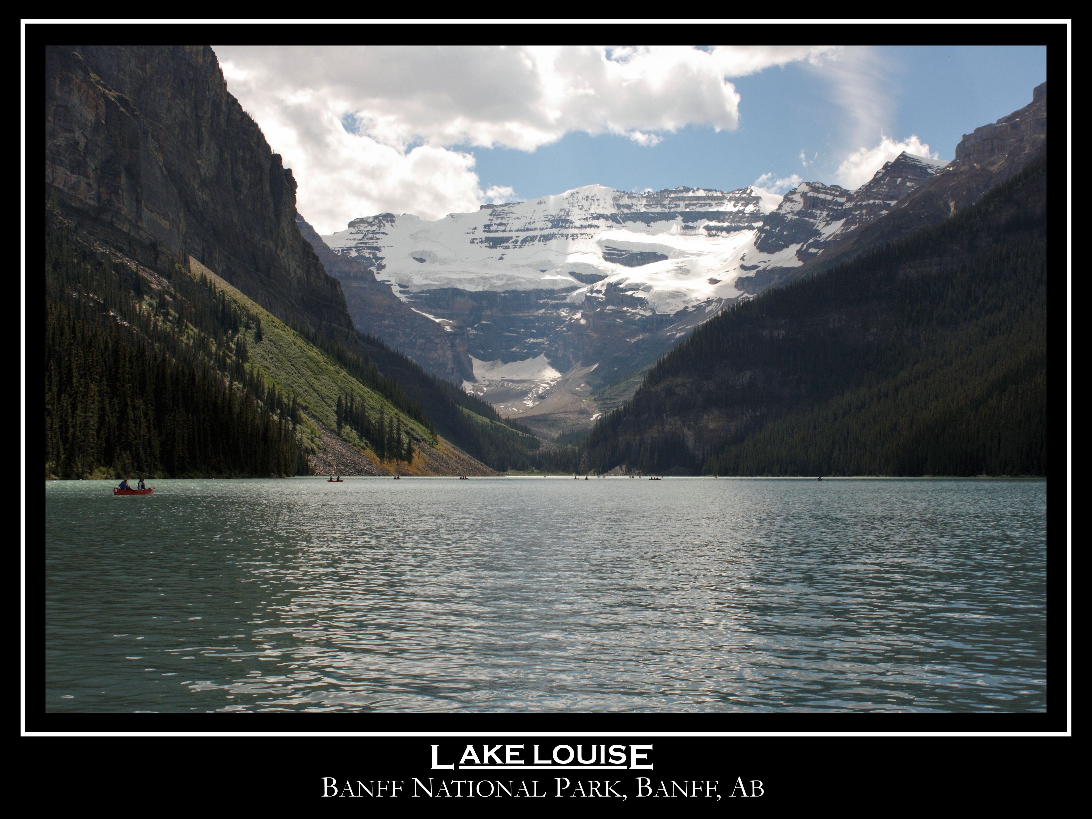
Lake Louise is located in Banff National Park, Canada’s oldest national park, in the Canadian province of Alberta. It sits at an elevation of 5,679 ft (1,731 m) making it Canada’s highest permanent settlement. The lake extends northeast for around 1.5 mi (2.4 km) and is around 0.75 mi (1.2 km) at its widest point. The Lake Louise area is separated in two – the larger community is known as Lake Louise Village and is directly accessible via the Trans-Canada Highway, while Upper Lake Louise is directly next to the lake itself and contains the famous Lake Louise Chateau, along with a host of incredible hiking, biking, and horse-riding trails. https://adventures.com/canada/attractions/lakes/lake-louise/

Monday, 01/09/2023: Posted photo — Bubble Net Feeding.

Bubble-net feeding is a cooperative hunting strategy that occurs within a group of whales. It is a complex, highly synchronized set of behaviors that involve communication and cooperation, demonstrating signs of high social intelligence.

How it works

To bubble-net feed, whales dive deep below schools of fish and use bubbles blown from their blowholes to stun and trap fish closer to the surface. One whale generally leads the effort followed by the rest of the group. The leader will usually be responsible for blowing the bubbles and the other members will surround the fish, following them to the surface by swimming in spiral patterns to keep the fish trapped.

Humpback whales are known as “gulpers”, which means they feed by leaving their mouths open, swallowing everything in their paths before closing their mouths, pushing water out through their baleen plates and swallowing the critters (usually fish and small crustaceans) they caught. During bubble net feeding, the whales swimming toward the surface will have their mouths open and gulp fish from the school they have corralled.

Tuesday, 01/10/2023: Posted photo — Wellesley Glacier.

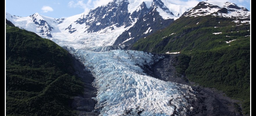
Wellesley Glacier is a 4-mile long glacier in the U.S. state of Alaska. It trends east for 4 mi to a lagoon on the west bank of College Fjord, 3.7 mi southwest of College Point and 54 mi west of Valdez. It was named for Wellesley College in Wellesley, Massachusetts by members of the 1899 Harriman Alaska Expedition. https://alaska.guide/glacier/wellesley-glacier

Wednesday, 01/11/2023: Posted photo — Wine Barrels.

For over a century, five generations of the Kunde family have farmed our 1,850-acre estate in the heart of Sonoma Valley. Our winemaking mission is to carry on that tradition by crafting elegant, estate-grown, sustainably-farmed wines with a real sense of place—beautifully balanced and expressive of our dramatic vineyard landscape. https://www.kunde.com/

I took this photo when we attended a wedding at the winery. The couple rented out the vineyard for the occasion.

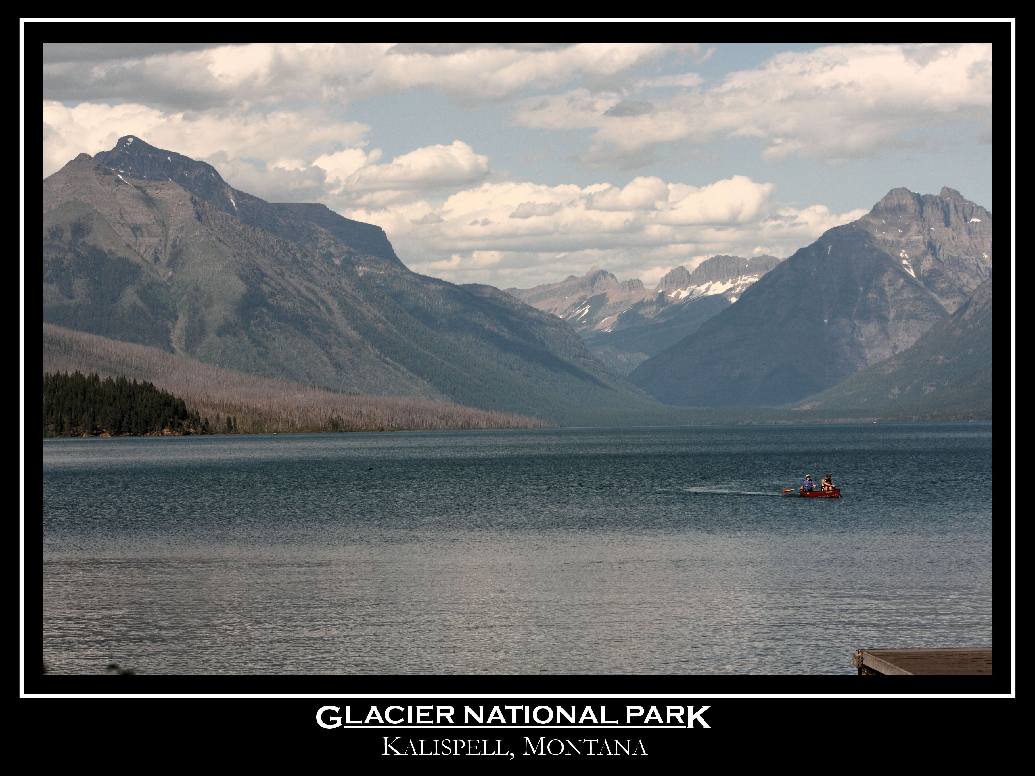
Thursday, 01/12/2023: Posted photo — Glacier National Park.

Glacier National Park is a 1,583-sq.-mi. wilderness area in Montana’s Rocky Mountains, with glacier-carved peaks and valleys running to the Canadian border. It’s crossed by the mountainous Going-to-the-Sun Road. Among more than 700 miles of hiking trails, it has a route to photogenic Hidden Lake. Other activities include backpacking, cycling and camping. Diverse wildlife ranges from mountain goats to grizzly bears. https://www.nps.gov/glac/index.htm
Friday, 01/13/2023: Post photo — Bear at Curry Village.

Curry Village is a resort in Mariposa County, California in Yosemite National Park within the Yosemite Valley. A rockfall in 2008 damaged a number of structures, and about one third of visitor units were closed because of risk. https://www.nps.gov/places/000/curry-village.htm

There was a fisher cat next to our tent site. It hid when this bear walked by. The ranger asked up if we were able to get a look at the number on the bear’s tag. Yosemite National Park is the only park that I know of that a bear will open the door of your car for you if they see something shinny in it or if they smell anything that might be food.

Saturday, 01/14/2023: Post photo — Royal Arches.

The Royal Arches refers to a cliff containing natural occurring granite exfoliation arches, located below North Dome and rising above Yosemite Valley, in Yosemite National Park, California. The Royal Arches are located on the north side of the valley, northeast of the Ahwahnee Hotel. http://www.supertopo.com/rock-climbing/Yosemite-Valley-Royal-Arches-Area-Royal-Arches

For more photo of other projects I have work, visit my website: https://photobyjosephciras.weebly.com or visit me on Facebook at https://www.facebook.com/PhotobyJosephCiras/.
Photographic Thoughts — 01/01/2023 to 01/07/2023

“You don’t take a photograph, you make it.” — Ansel Adams

Happy New Years to all. Wishing you all a healthy and safe 2023.

Sunday, 01/01/2023: Posted photo — Sunrise Selfie.

Happy New Year’s to all. For the last 15 or so years, I have been starting off the new year by hiking a local mountain to see the first sunrise of the year. This year’s hike was a wonderful hike. There had been snow and ice on the trails for most of December. Just after Christmas, we had a warm and rainy spell so there was not ice and snow. I did have to use my microspikes in areas near the trailhead and the mountain was clear of snow and ice at the summit.

Monday, 01/02/2023: Posted photo — 7 Sisters Hike.

Settings: Canon EOS 60D, ISO 3200, f/3.5, 20 s, 18 mm.

On the second day of the new year, I hiked the 7 Sisters in Mt. Holyoke Range. The 3,000-acre Mount Holyoke Range State Park features a 7-mile mountain ridge line. The park also includes streams, wetlands, woods, and thickets. Visitors can explore more than 30 miles of blazed trails.

The range may be on a ridge line, but during the first three miles of the hike, there were ten different peaks. Looking at my gps tracking, I agree with someone I was hiking with, the tracking looks like the EKG of ones heartbeat. Not and easy hike, but fun. Again, now snow and ice. The range is at lower elevations that near my house. The highest peak in the range is lower than the elevation of my house. The difference is that you start just above sea leave because the range starts near on the of major rivers in the area. The Mount Holyoke Range is unique because it runs east to west, not north to south as most of the ranges. The Metacomet Ridge runs mostly north to south.

Tuesday, 01/03/2023: Posted photo — Mount Holyoke.

This is a photo of Mount Holyoke from the high point of the range, Mount Hitchcock at 1,005 feet. This is 1,001 feet lower than the mountain that frequent, Wachusett Mountain.

Mount Holyoke, a traprock mountain, elevation 935 feet, is the westernmost peak of the Holyoke Range and part of the 100-mile Metacomet Ridge. The mountain is in the Connecticut River Valley of western Massachusetts.

Wednesday, 01/04/2023: Posted photo — Ladder.

One of the hills on the 7 Sister’s hike required the use of this ladder. As I noted a few days ago, the hills were very steep on the trail. The route I took had about 1,092 feet in elevation gain. As you can see, the elevation gain was more that the height of the tallest peak on the hike.

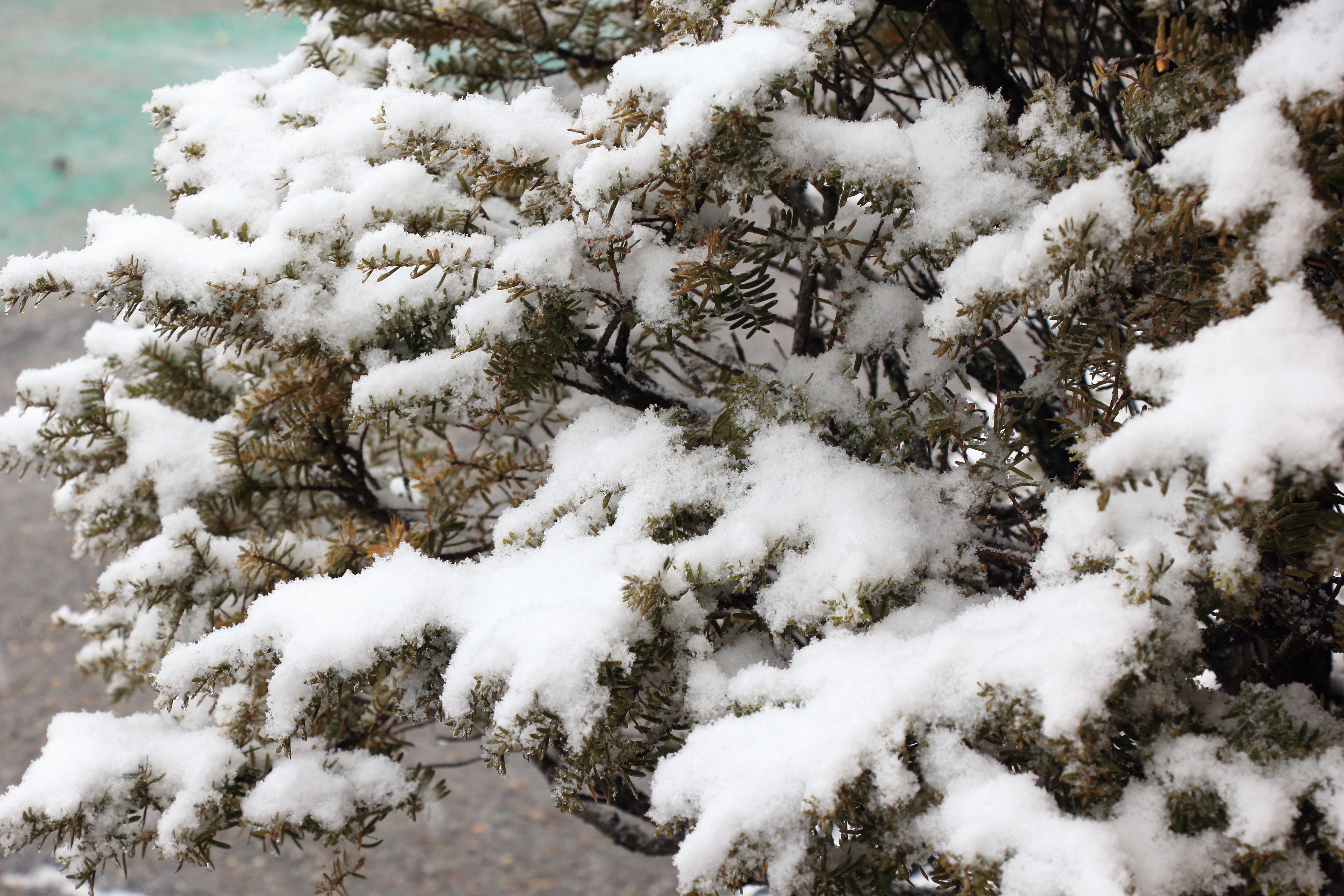
Thursday, 01/05/2023: Posted photo — Snow.

Starting to snow around here. Great to see the ground covered in snow again. This snow is a wet snow, so I need to keep up with the shoveling so that it does not get too heavy.

Friday, 01/06/2023: Post photo — During the Storm.

Happy Epiphany. Epiphany, also known as Three Kings’ Day, is a Christian feast day that celebrates the revelation of God in His Son as human in Jesus Christ.

About this photo: one thing about snow is it does make for some great photos.

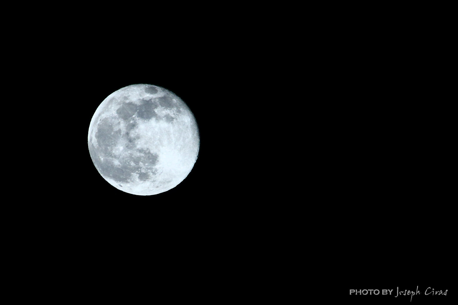
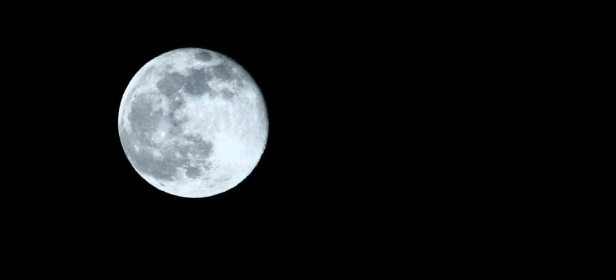
Saturday, 01/07/2023: Post photo — Full Moon.

Settings: Canon EOS 60D, ISO 100, f/7.1, 1/250 s, 135 mm.

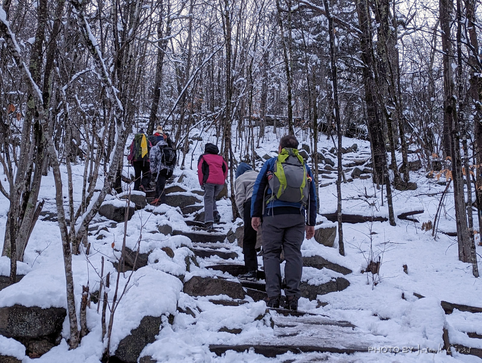
Today I went on a full moon hike with the members of my hiking group. We are re-starting group hikes with the group. When the group was founded eleven years ago next week my four of my friends and myself, the goal was to do group hikes. It lasted for a while, then the group grew exponentially. Now we are back to schedule group hikes to get back to our roots.

For more photo of other projects I have work, visit my website: https://photobyjosephciras.weebly.com or visit me on Facebook at https://www.facebook.com/PhotobyJosephCiras/.

Photographic Thoughts — 09/04/2022 to 09/10/2022

“I really believe there are things nobody would see if I didn’t photograph them.” — Diane Arbus

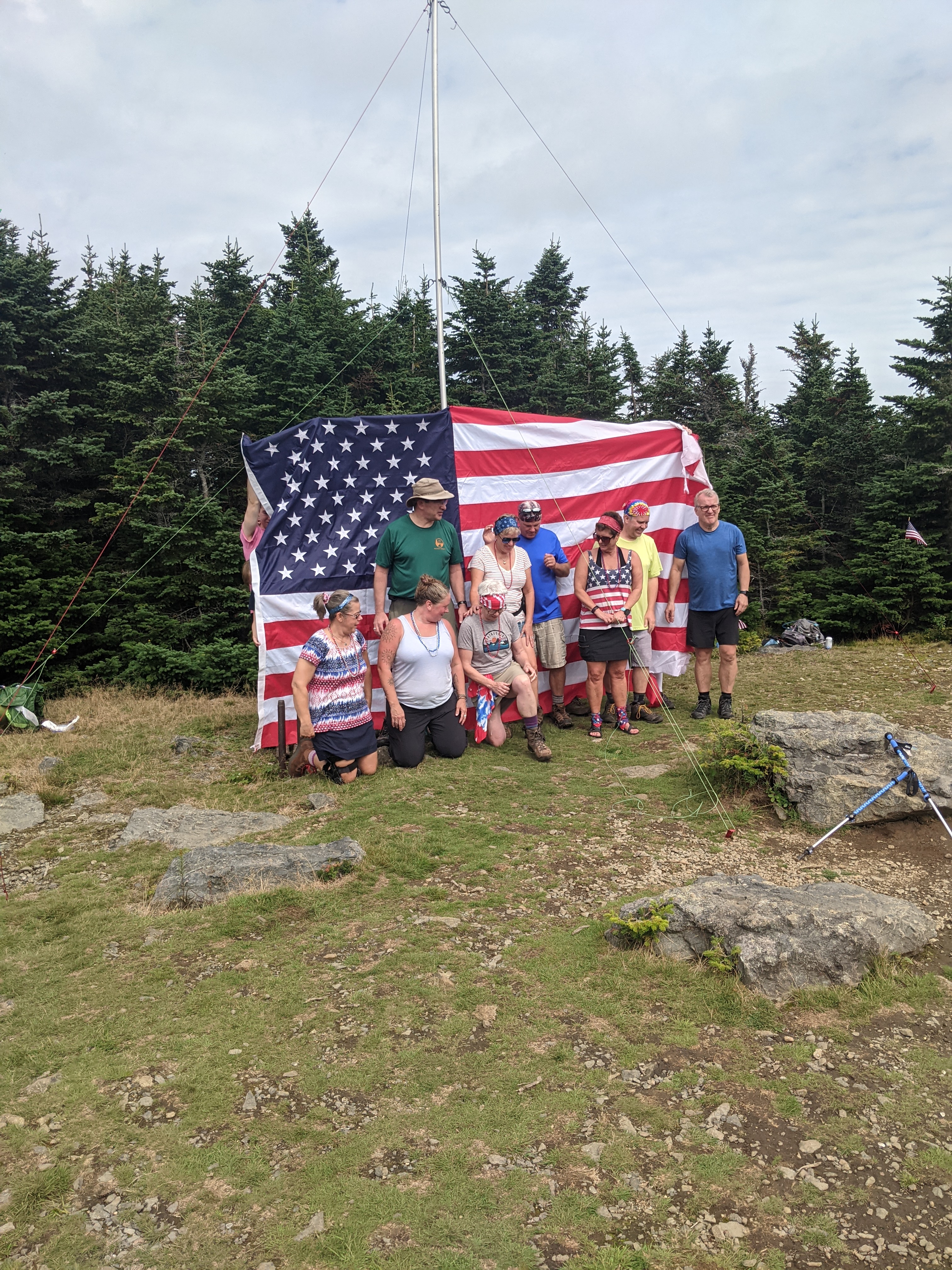
From the Flags on the 48 website: “On September 11th, 2001 the consciousness of United States of America was undeniably altered by overwhelming and devastating acts of terrorism, so far reaching in their intensity that our country will forever carry the scars. Thousands of lives were lost in a fleeting moment, immeasurable families shattered, and countless hearts broken.

We in the hiking community continue to honor the deceased with a tribute: flying the American flag atop all 48 four-thousand foot and higher mountains in New Hampshire on Sunday, September 11. By demonstrating our steadfast unity in this challenging endeavor, we also hope to express our unwavering support to the families, friends, and communities whose losses are beyond comprehension and whose suffering we remember in our hearts.”

This event is the highlight of my year. One that I was training for after breaking my ankle. My goal was to get back in shape after an almost five-month period to be able to hike in this event.

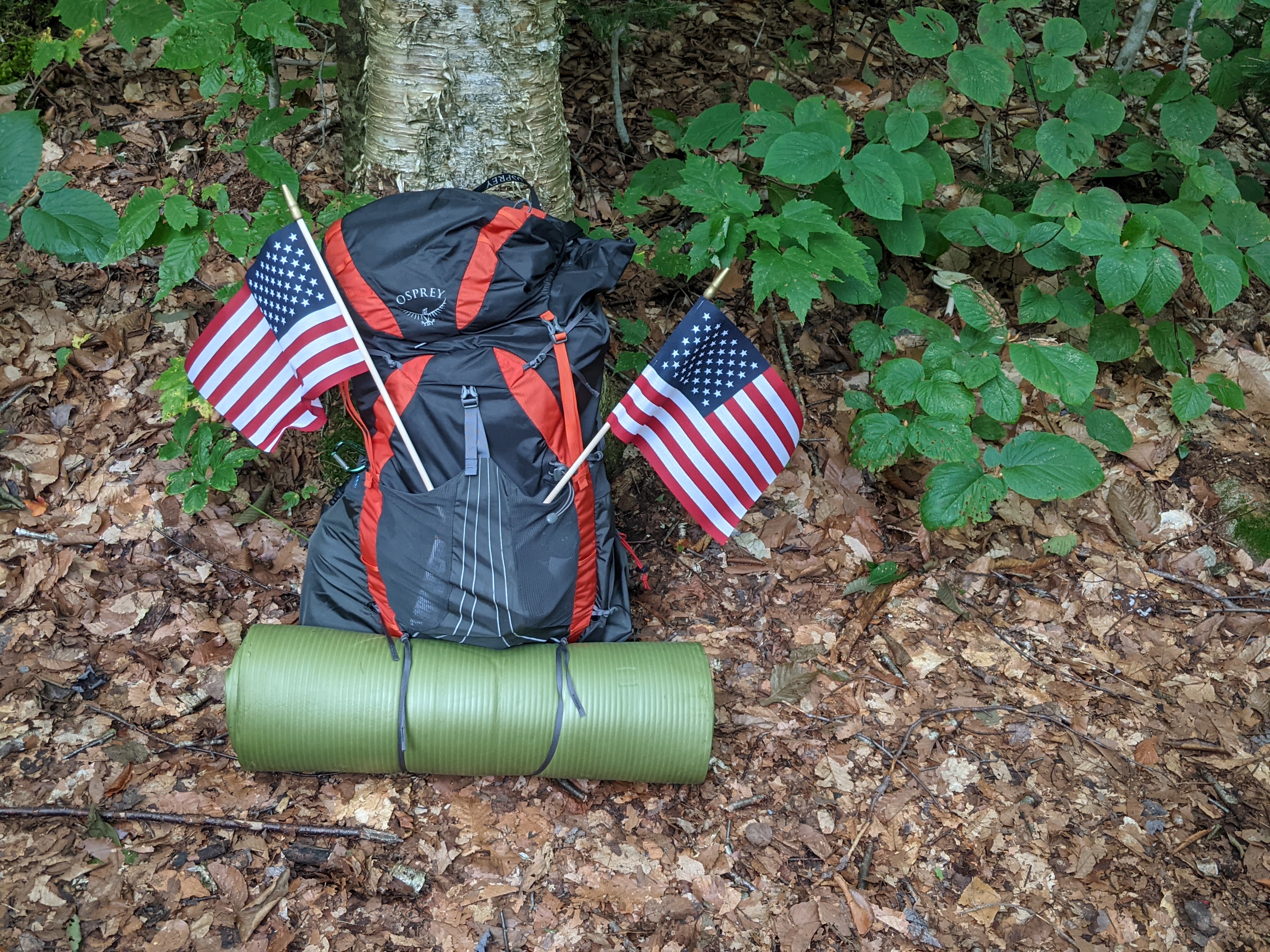
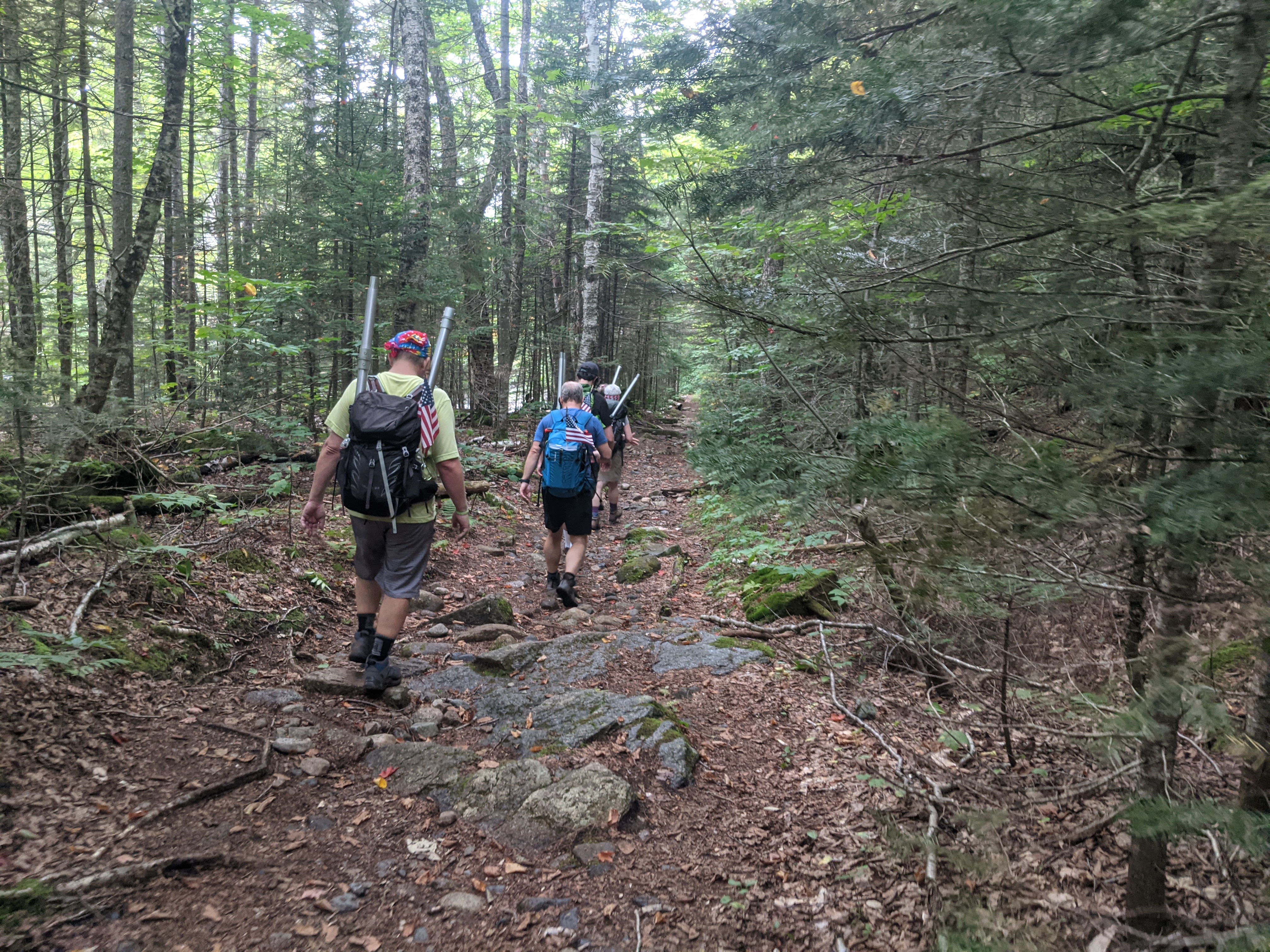
My pack, ready to go on the hike.

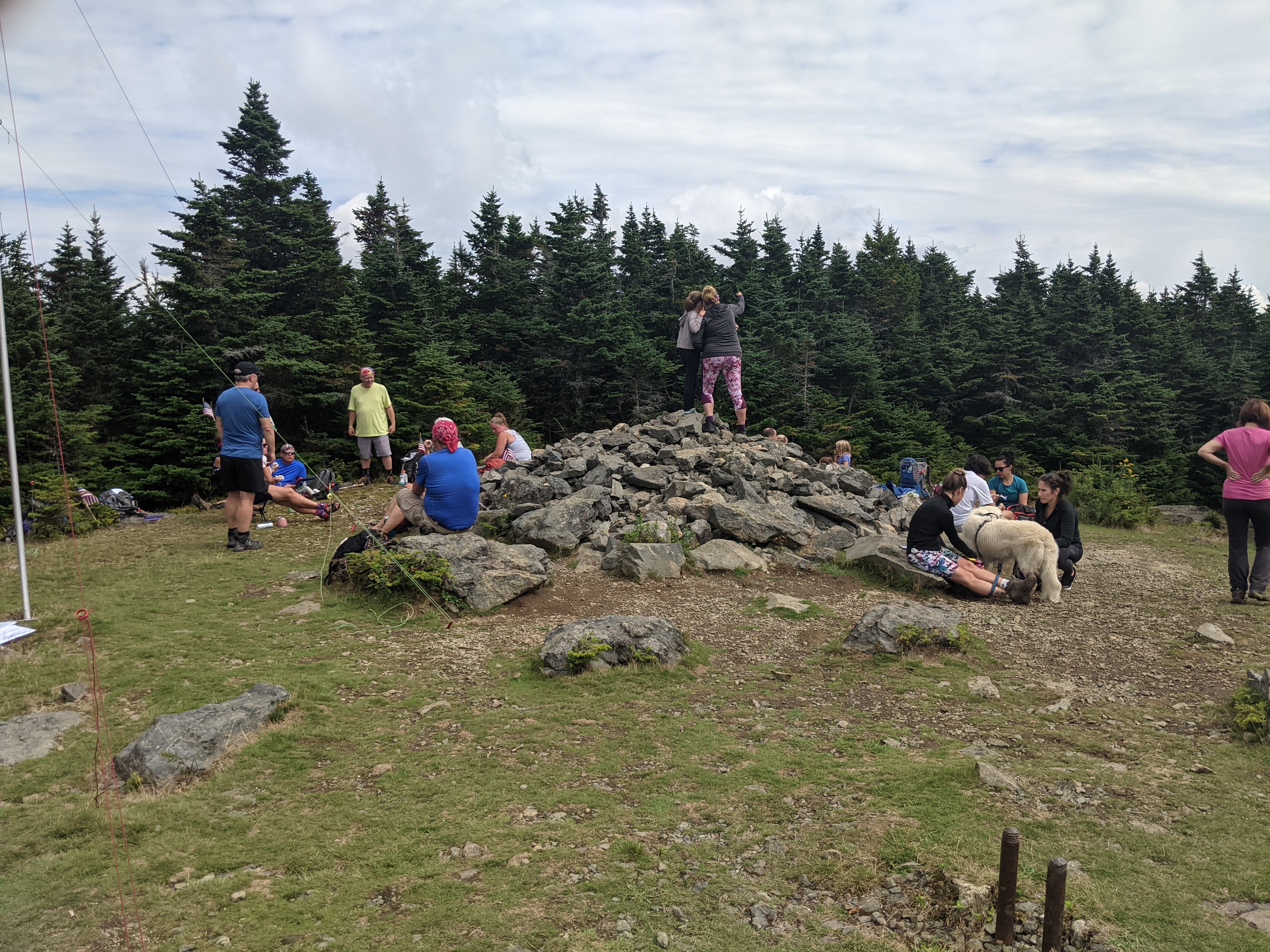
This year marks the 13th year that I have been doing this hike. Good weather, bad weather, heat, cold, rain, and wind could not stop our group from doing this annual hike. The mountain we did this year was rated as an easy hike, Mount Hale, at 4,054 feet. One of the shorter mountains and the easiest 4,000 footer in the White Mountains. The hike took us up a well established bushwhack trail that had little rock or roots on it which was welcomed for my recovering ankle. One other person was also glad since she had ankle surgery the week after I did. Her surgery was not as extensive as mine so she recovered and was out hiking faster that I did. It is called the Fire Warden Trail and it could have been used by the fire warden when hiking to the summit. On the summit, there are posts in the ground that were used to anchor the old fire tower.

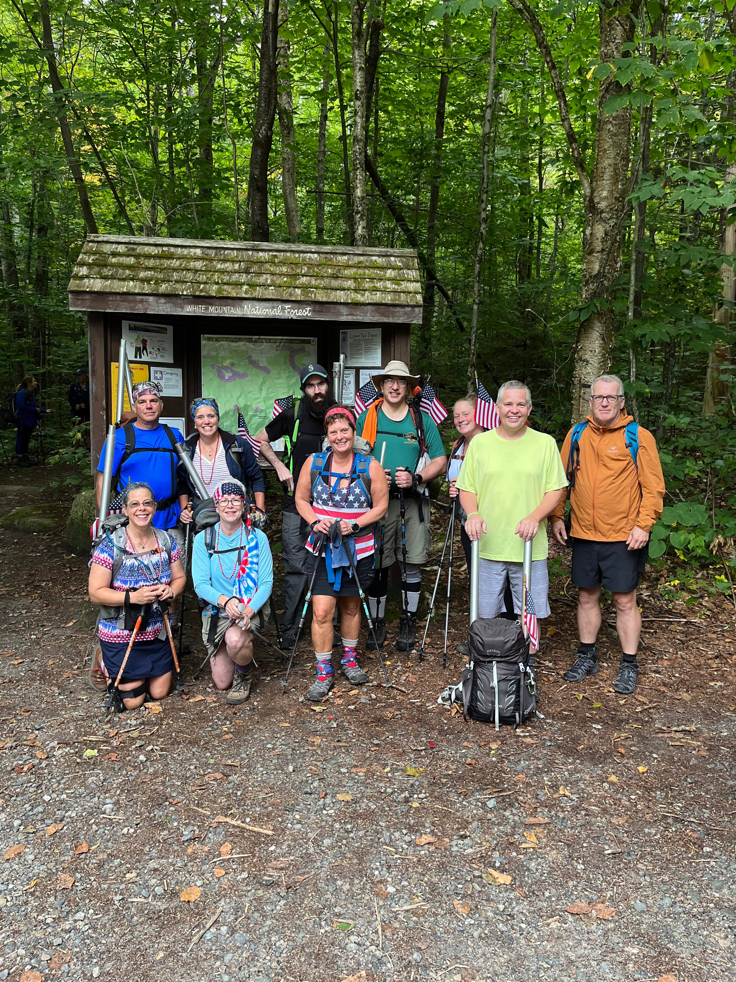
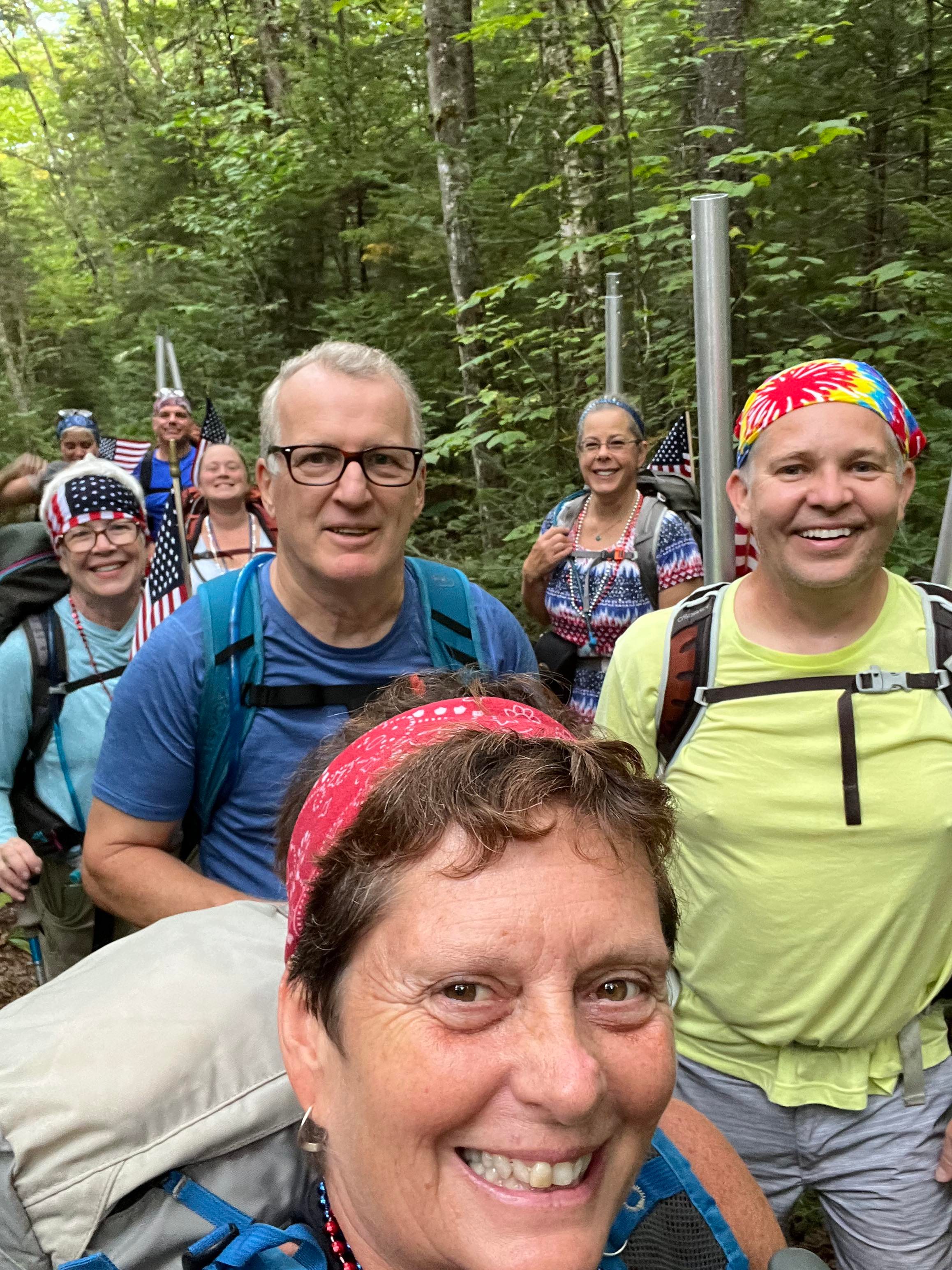
The traditional trailhead photo

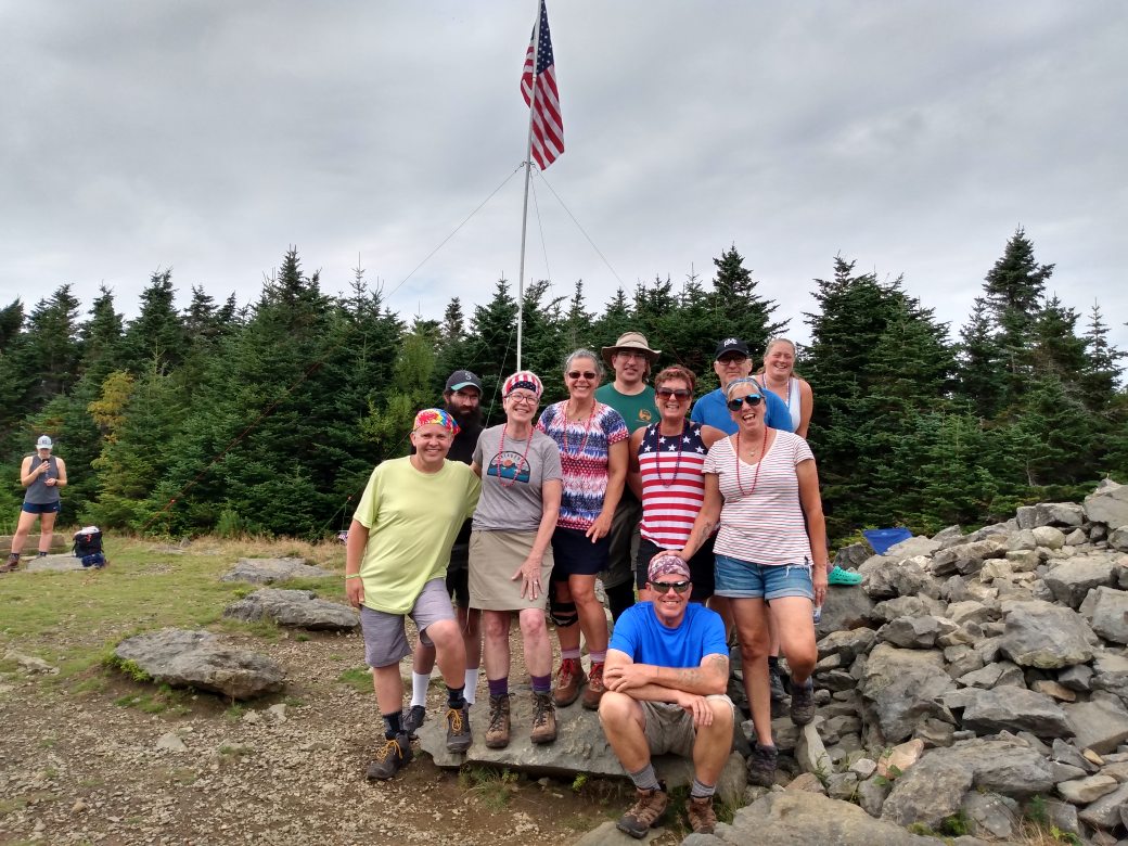
The ten people in our group have been doing this hike together for many years. We start out the hike with a group photo. I like to say that we do this incase someone gets lost and we have a photo of them. Since we were doing a trial that was not on any maps, the name of the trail or the mountain was not on the trailhead information board.

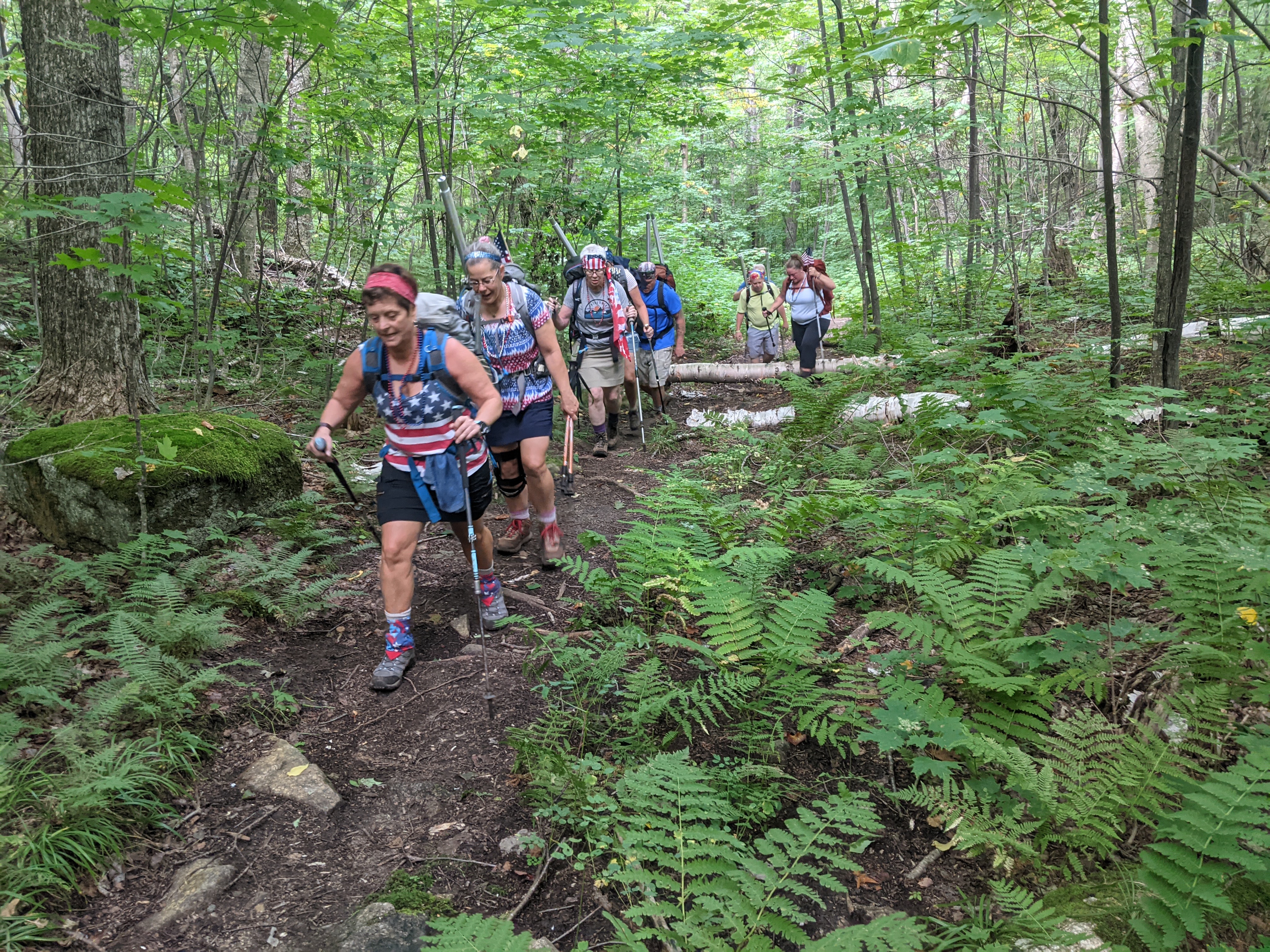
The group of use stayed together for the hike. As I stated in the opening statements, this was an easy trail. We gave ourselves four hours to reach the summit and set up our flag. It took up two and a half hours hiking very slowly so we would not reach the summit to early.

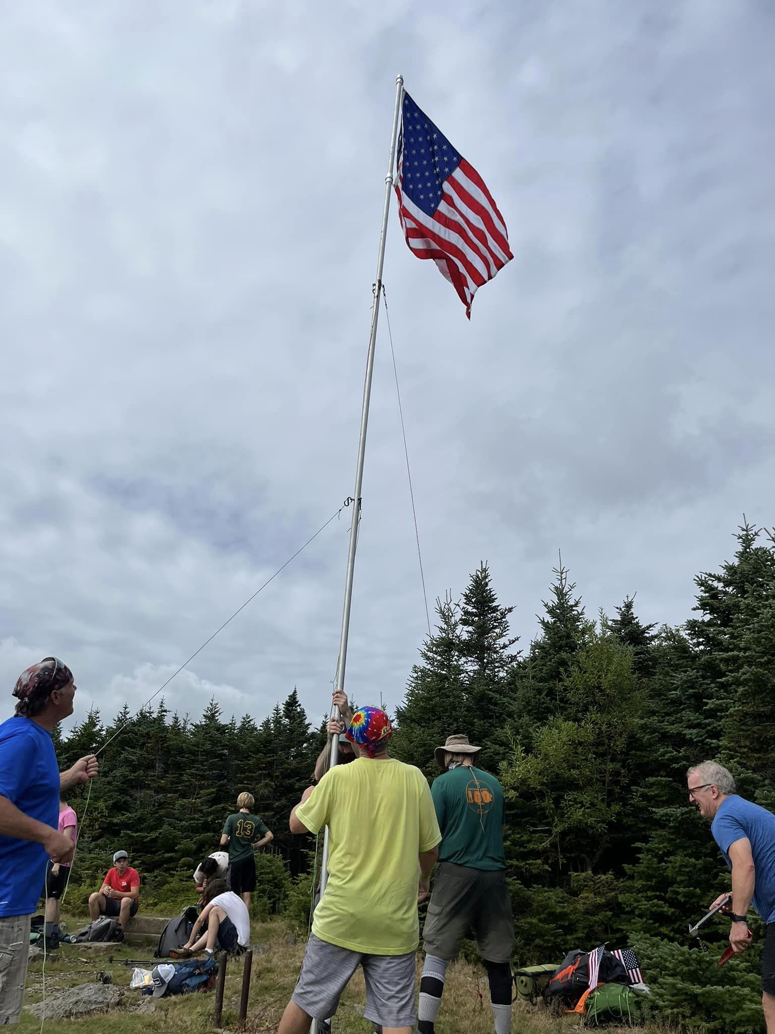
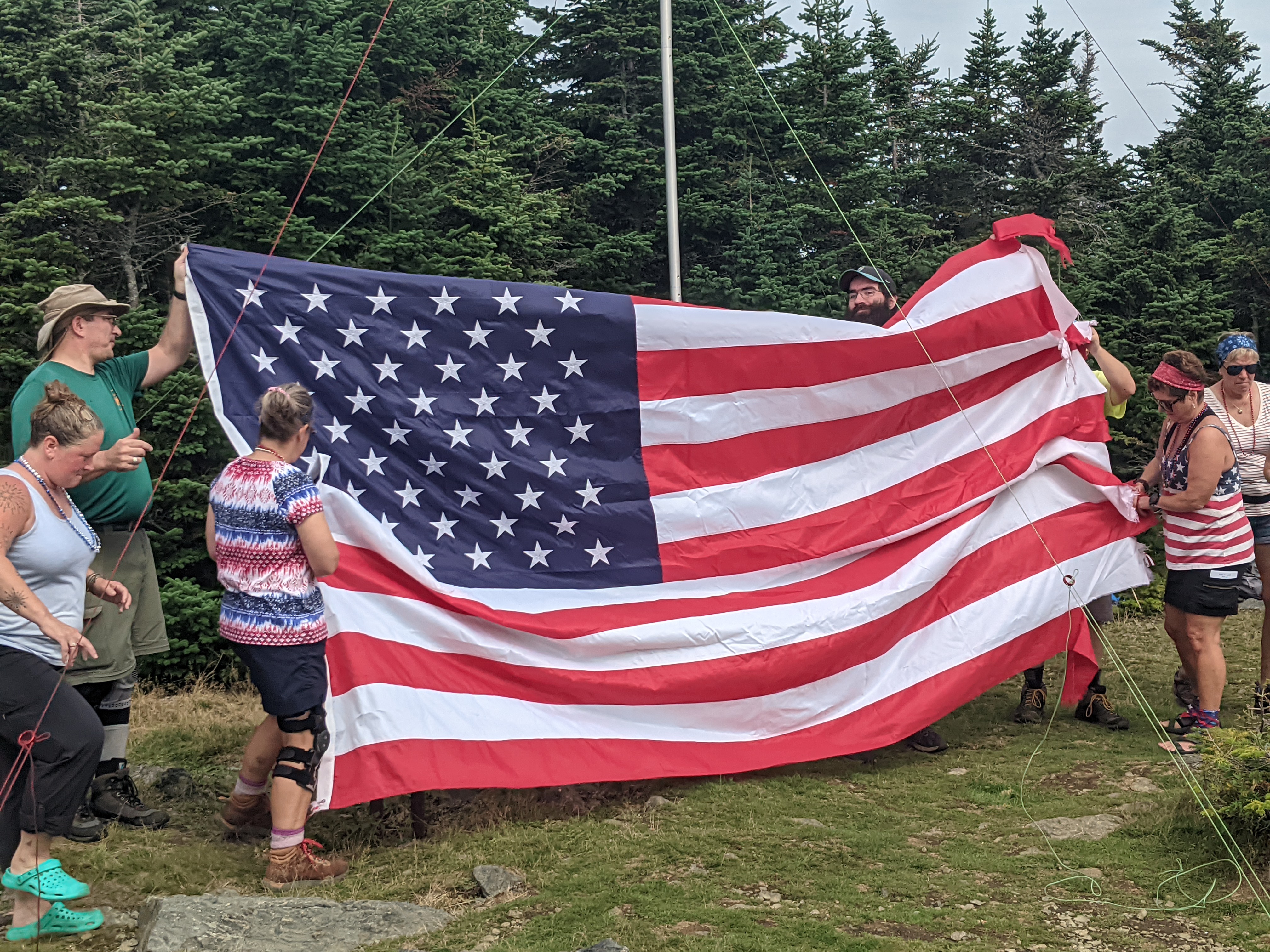
At the summit we worked together to set up our flag. Mount Hale has a wide-open summit, so we had plenty of room to set up the flag. Some of the summits are tight, and most have some room. There is no view of the neighboring mountains from the summit, just on the hike up.

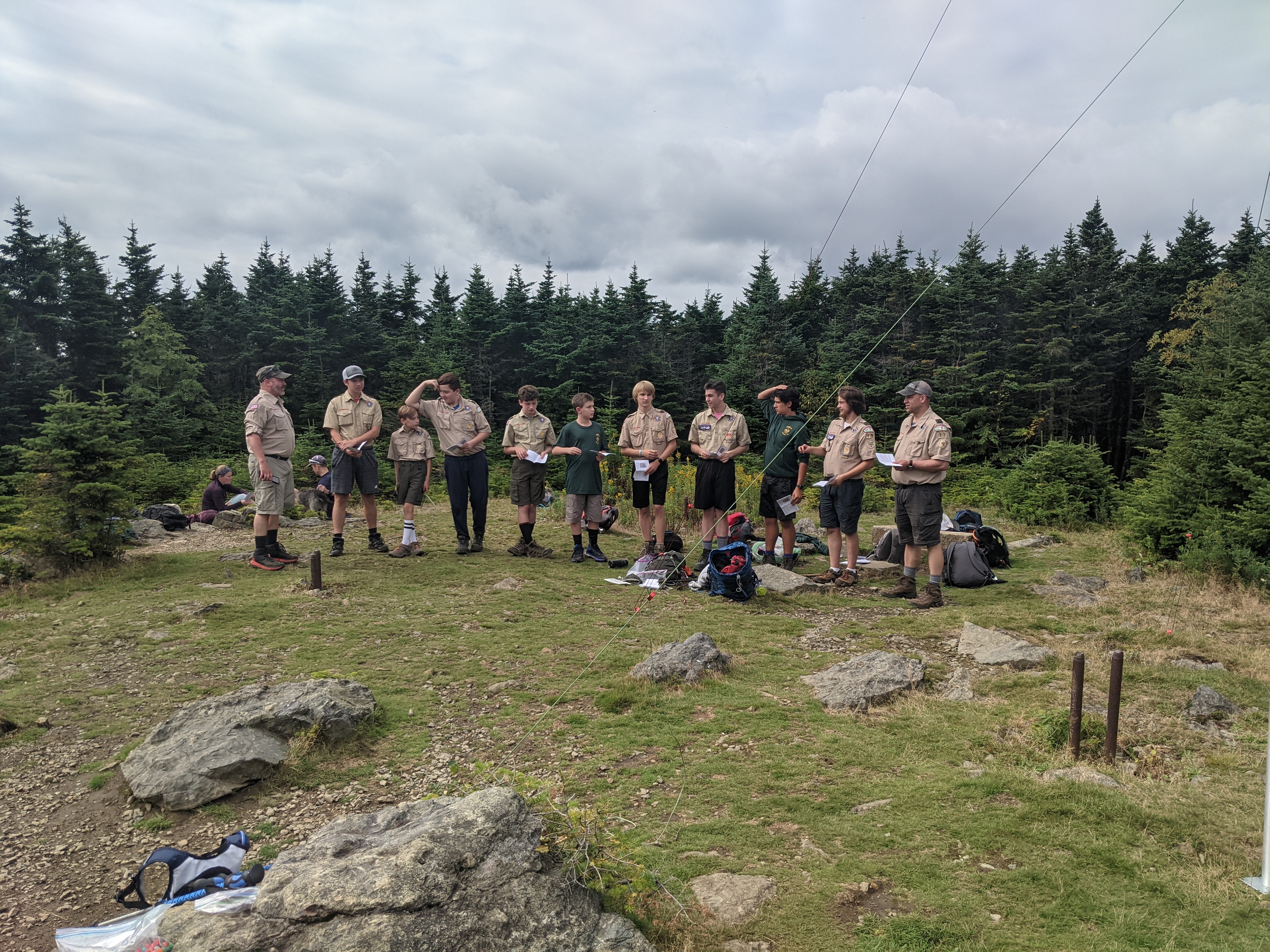
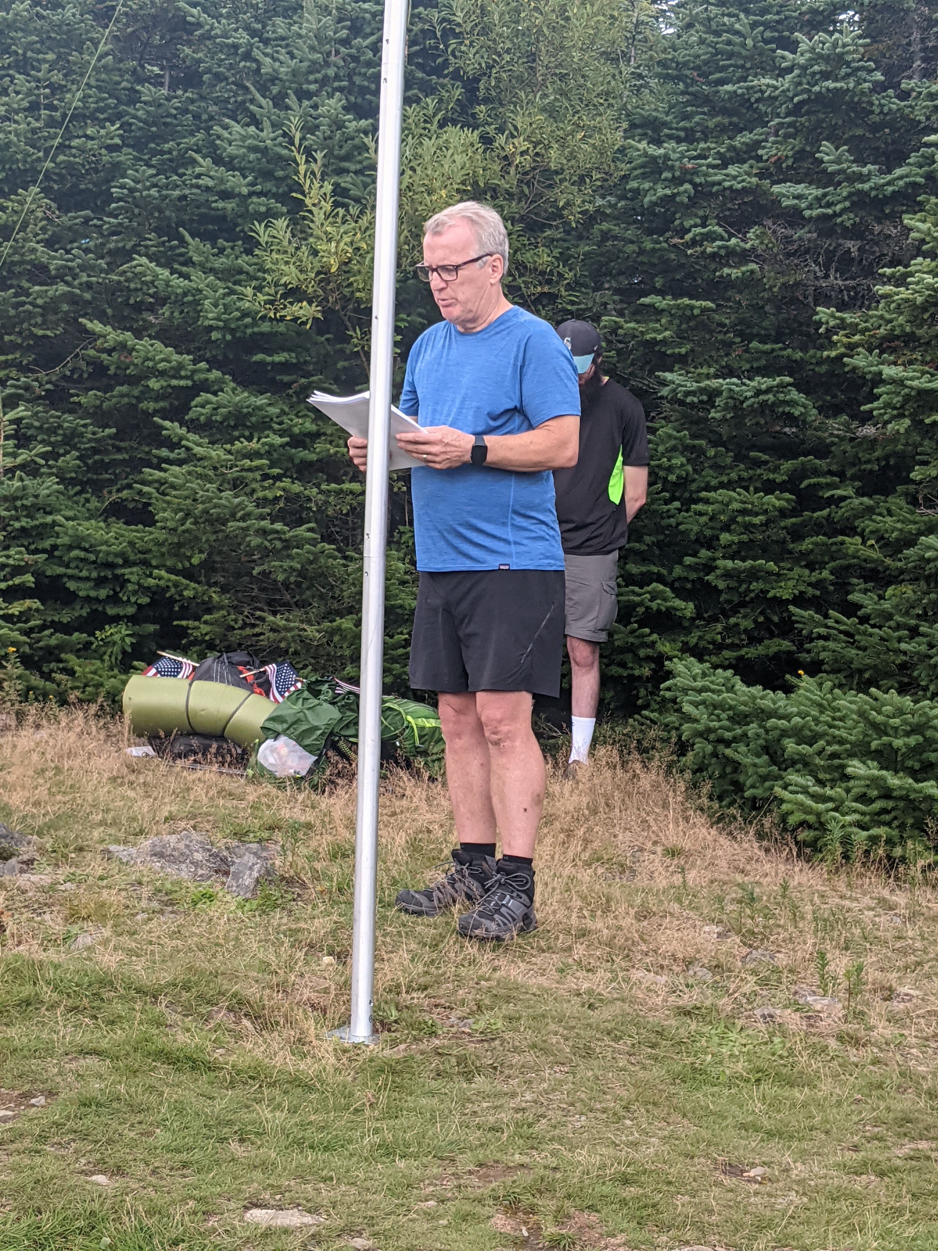
Once on the summit, we had a moving tribute by Boy Scout Troop 13 from Pepperell, MA and by a member of our group. Our group has been taking one or two names of the victims from each site and talking about what they did prior to that memorable day.

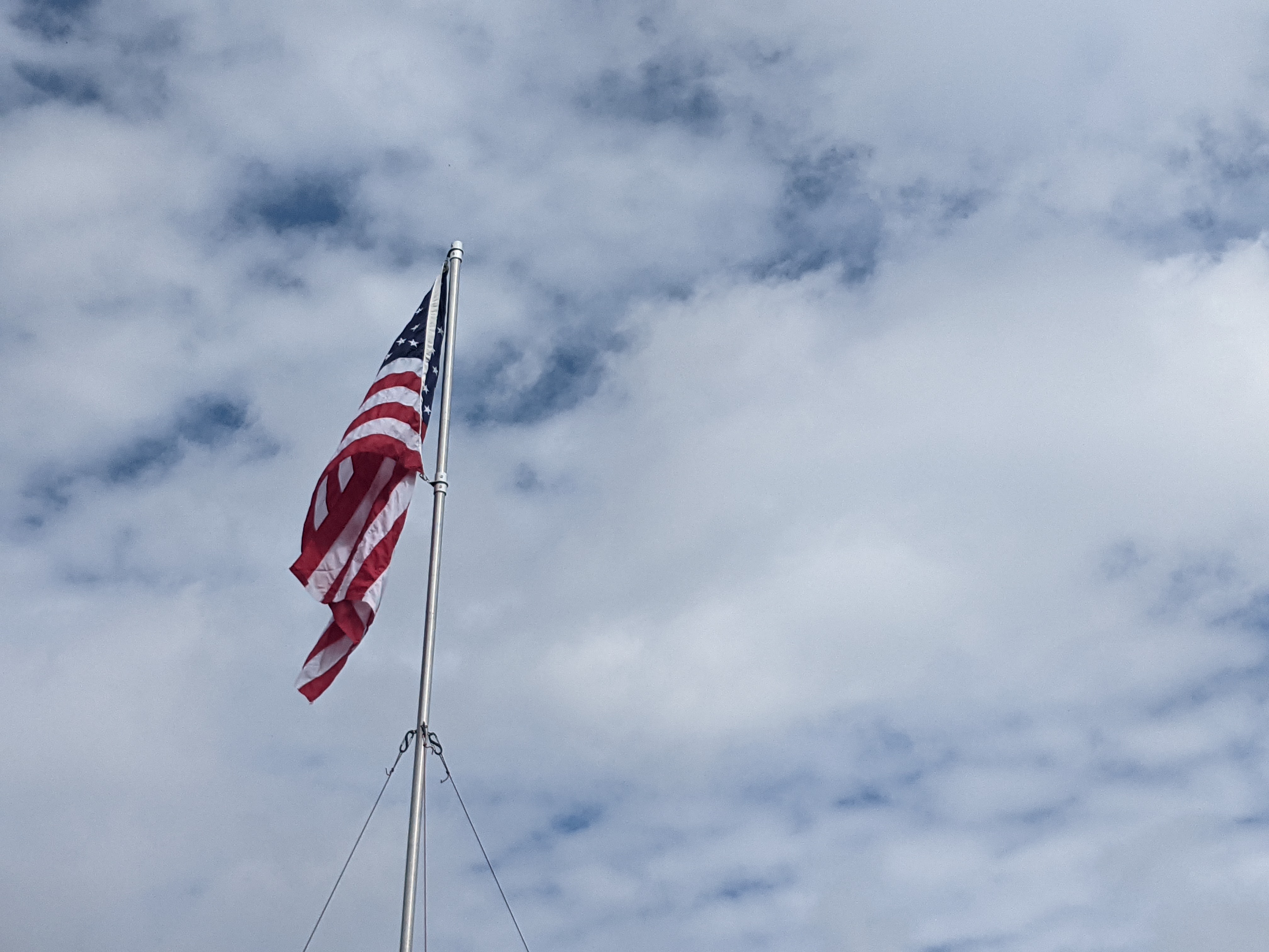
We flew our flag from noon until 2 p.m. and the hiked down. It is always a great honor to be part of this tribute. Looking forward to the hike next year.

If you in the area and up for a hike, please join me.

That is all for now. Until next week, be safe.

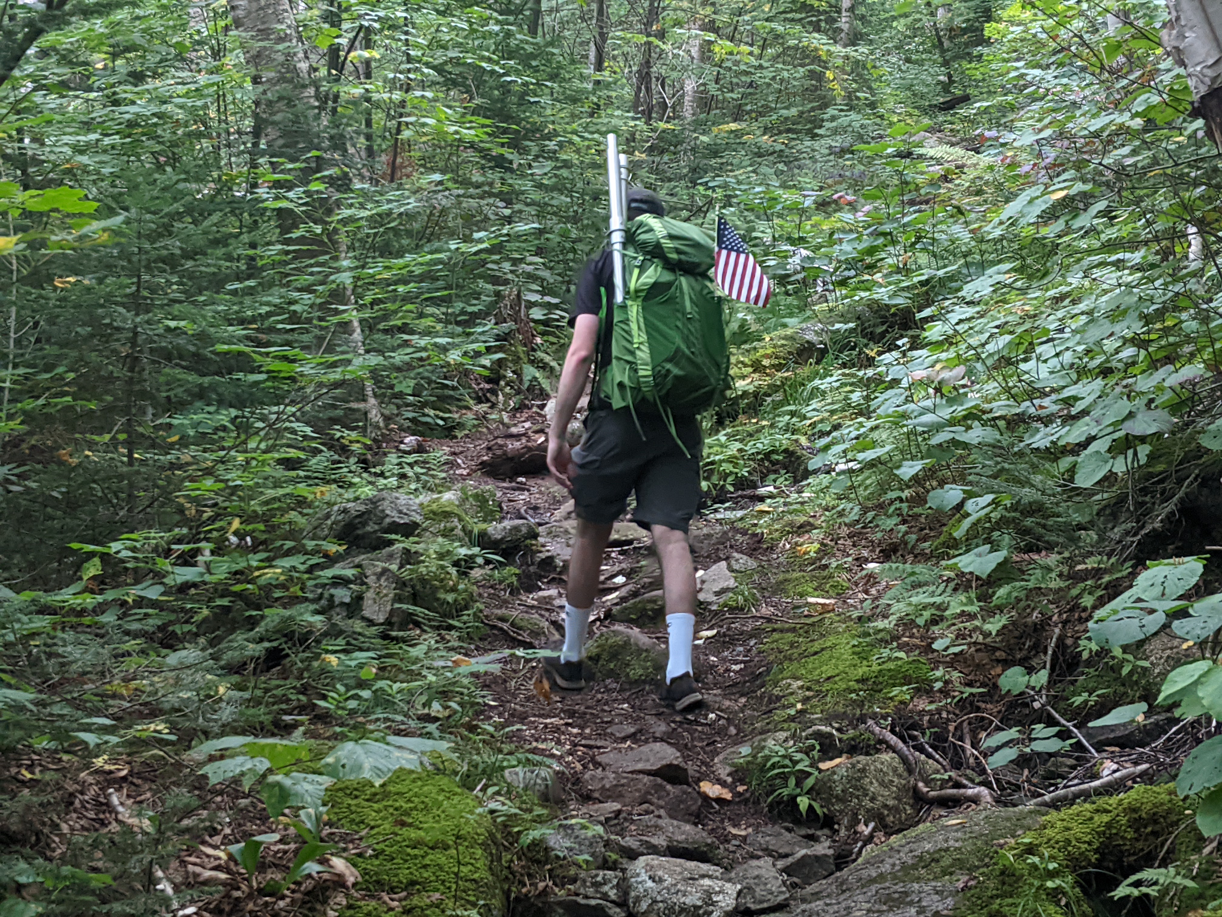
Finishing the hike

For more photo of other project I have work, visit my website: https://photobyjosephciras.weebly.com or visit me on Facebook at https://www.facebook.com/PhotobyJosephCiras/.
Photographic Thoughts — 08/28/2022 to 09/03/2022

“I don’t trust words. I trust pictures.” — Gilles Peress

Thank you for all the new views and likes from last week, it helps keep me inspired.

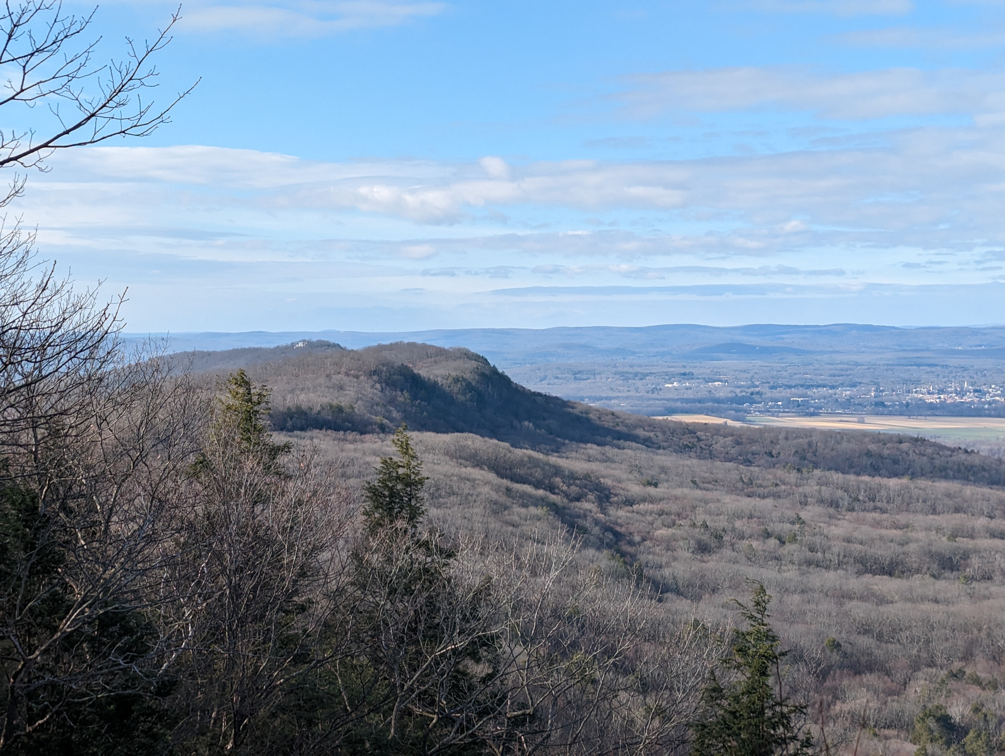
Here are a few mountains that I have seen over the last few years.

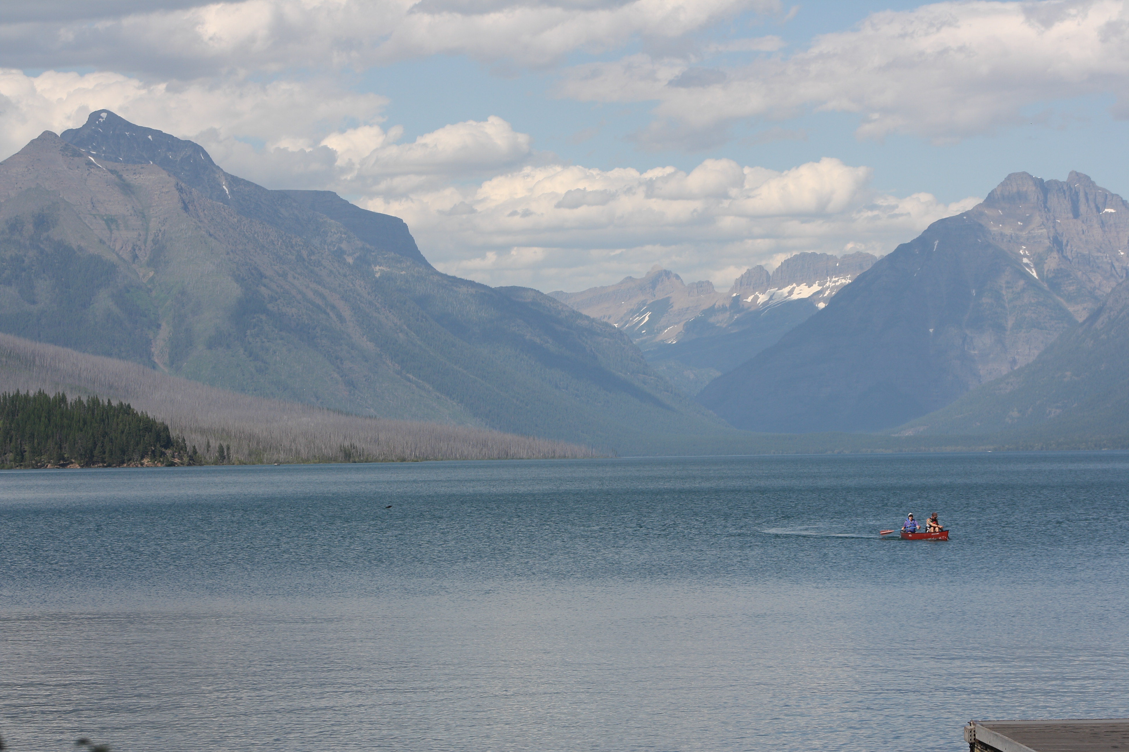
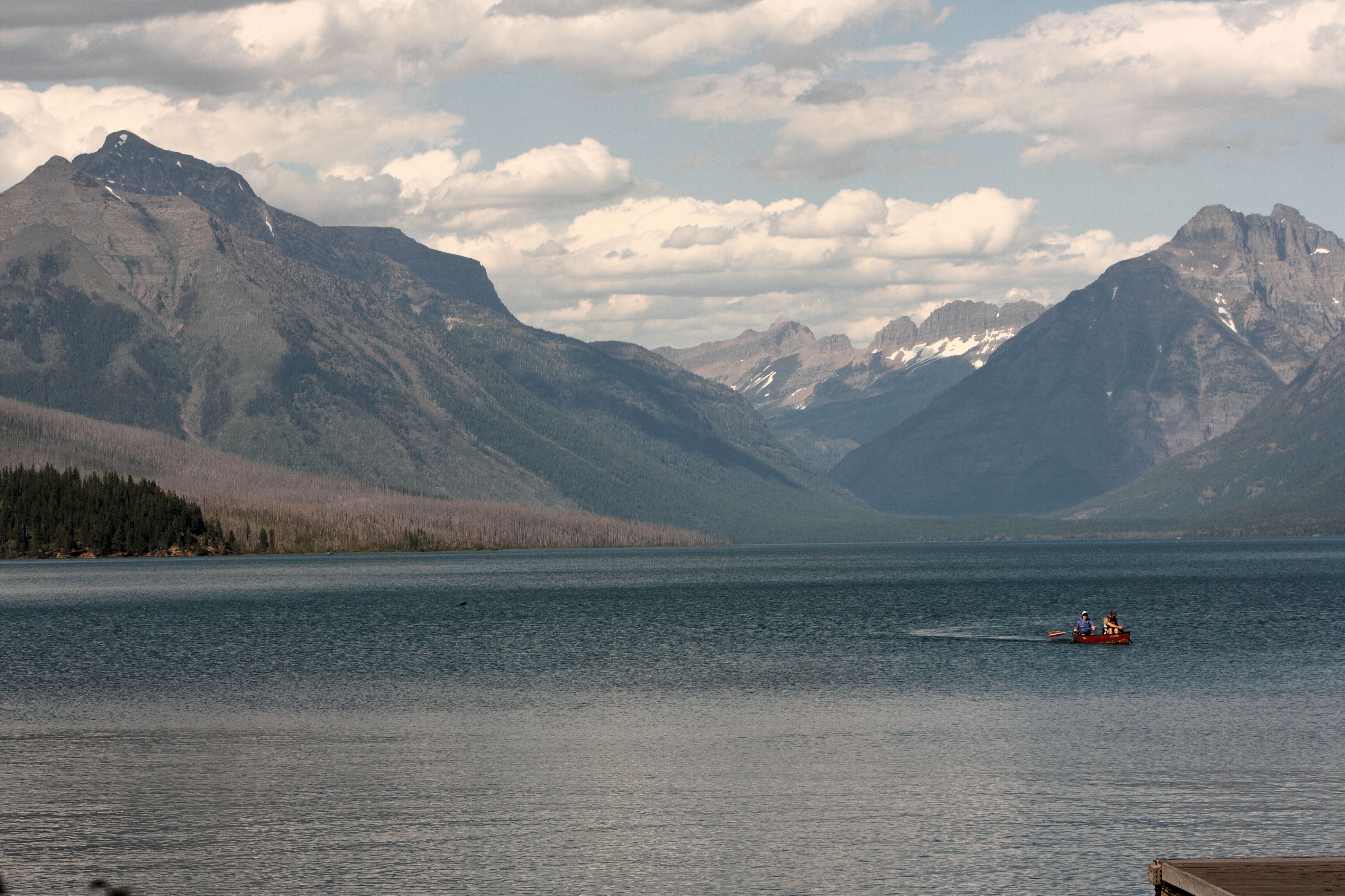
Sunday, 08/28/2022: Posted photo — Lake McDonald.

My first view at Glacier National Park in Montana. This was the start of my northern national park tour though the United States and Canada.

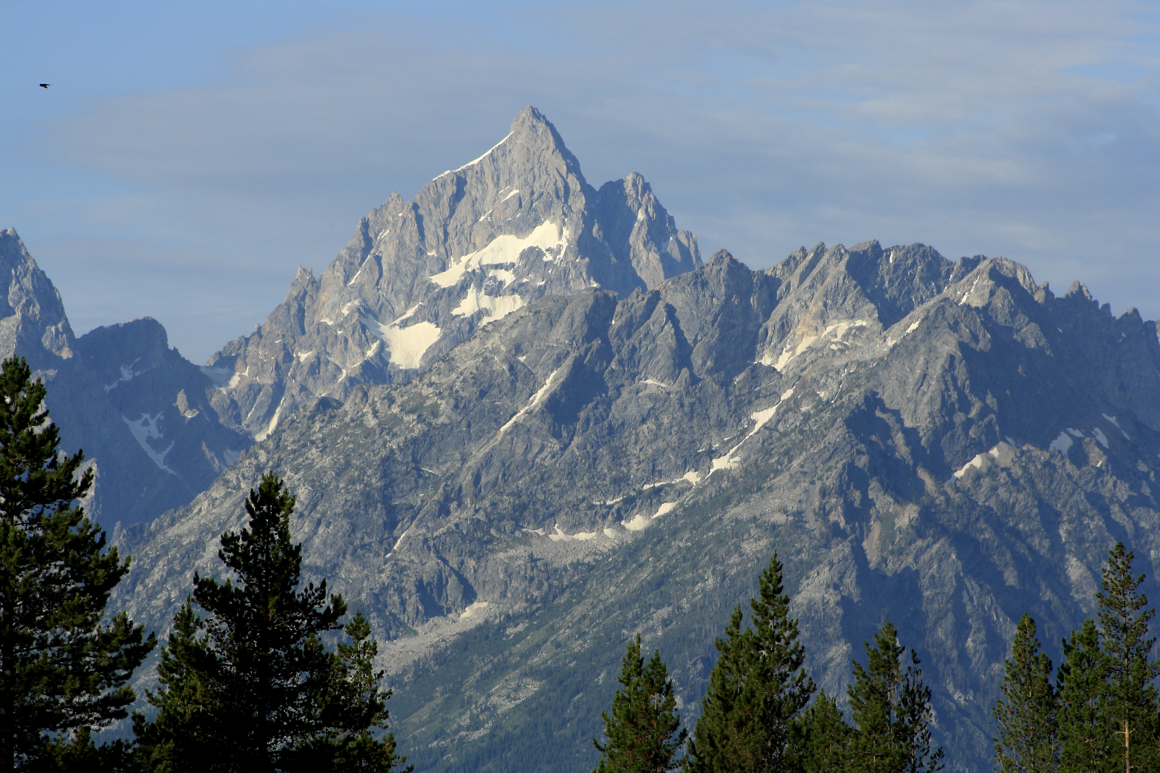
Monday, 08/29/2022: Posted photo — Camp View.

Here is the mountain view from our campsite in Glacier National Park. What a great view to start the day.

Tuesday, 08/30/2022: Posted photo — Lost Lake.

One of the destinations in our hiking adventures in Glacier National Park. We did some hiking along mountain goats and sheep. Most of the hike was in the snow. This hike took place in June.

Wednesday, 08/31/2022: Posted photo — Waterton Lakes.

This is the blue hour view from out campsite in Waterton Lakes National Park in Alberta Canada. A great place to camp with great views and many prairie dogs.

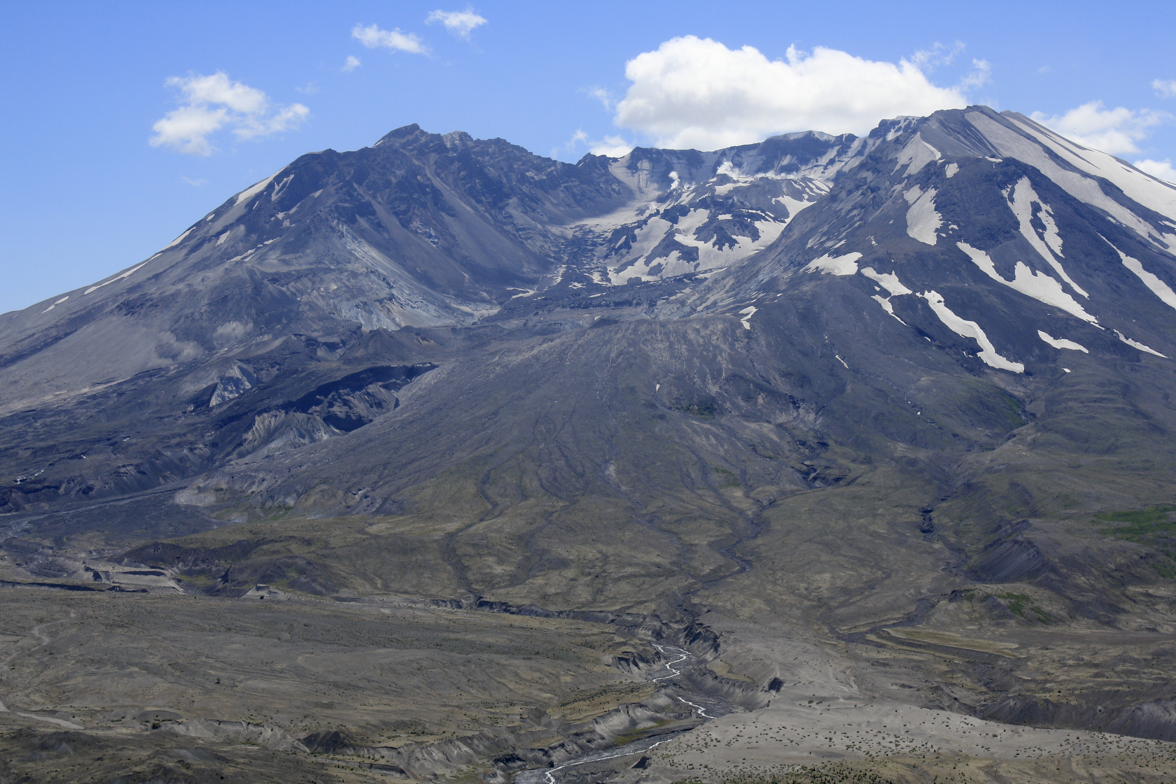
Thursday, 09/01/2022: Posted photo — Mount St. Helens.

I have visited Mount St. Helens three times over the last ten years. There has been a noticeable growth in the crater and in the forest around the mountain. It is very impressive to go from the dense forest around the mountain into the blast zone. The trees in the blast zone look like they are from the game pick up sticks, all facing away from the blast.

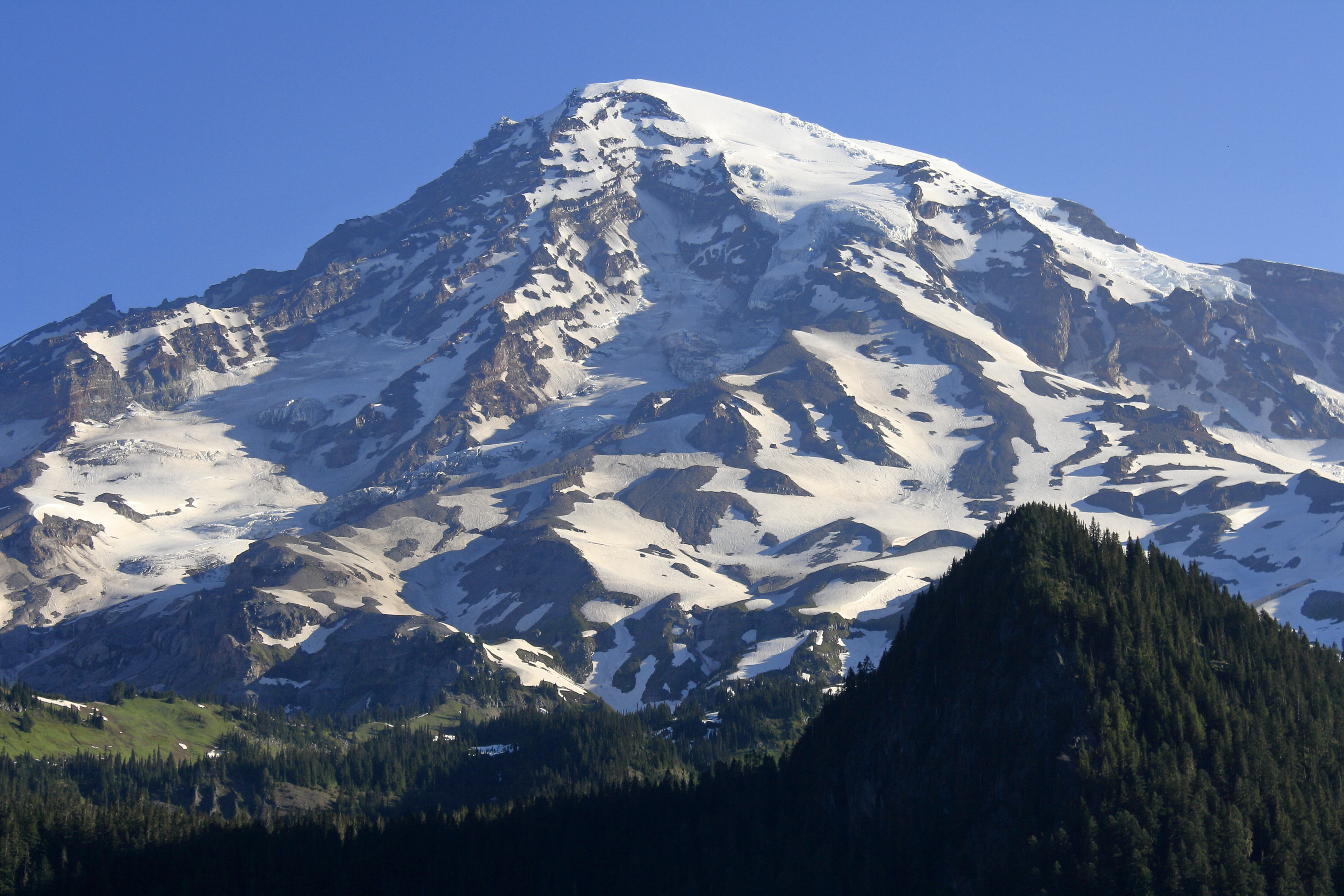
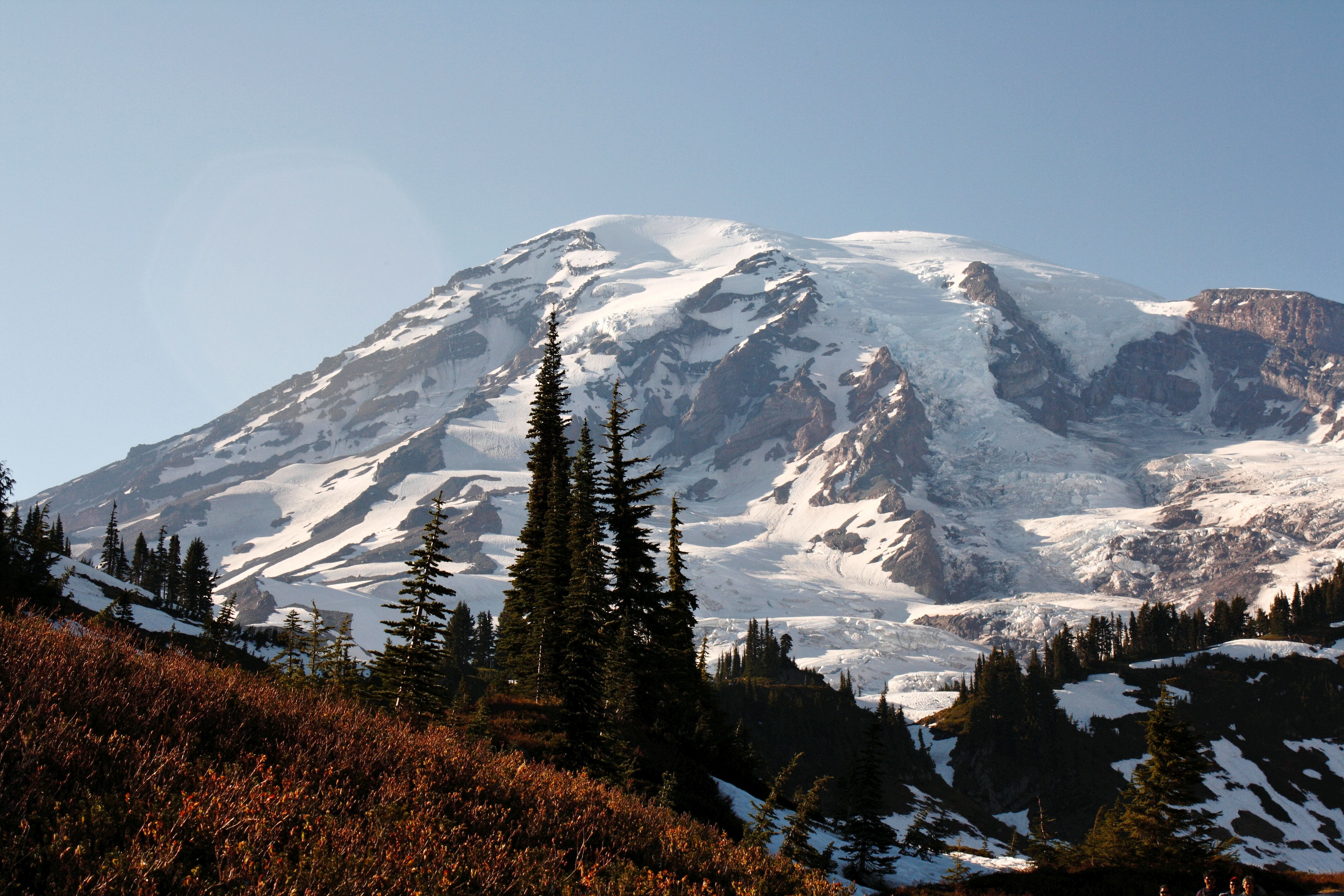
Friday, 09/02/2022: Post photo — Mount Rainier.

This has been the most impressive mountain I have seen so far. We did a few hikes on the mountain. Never to the summit, just middle elevation hikes on the snow and glaciers.

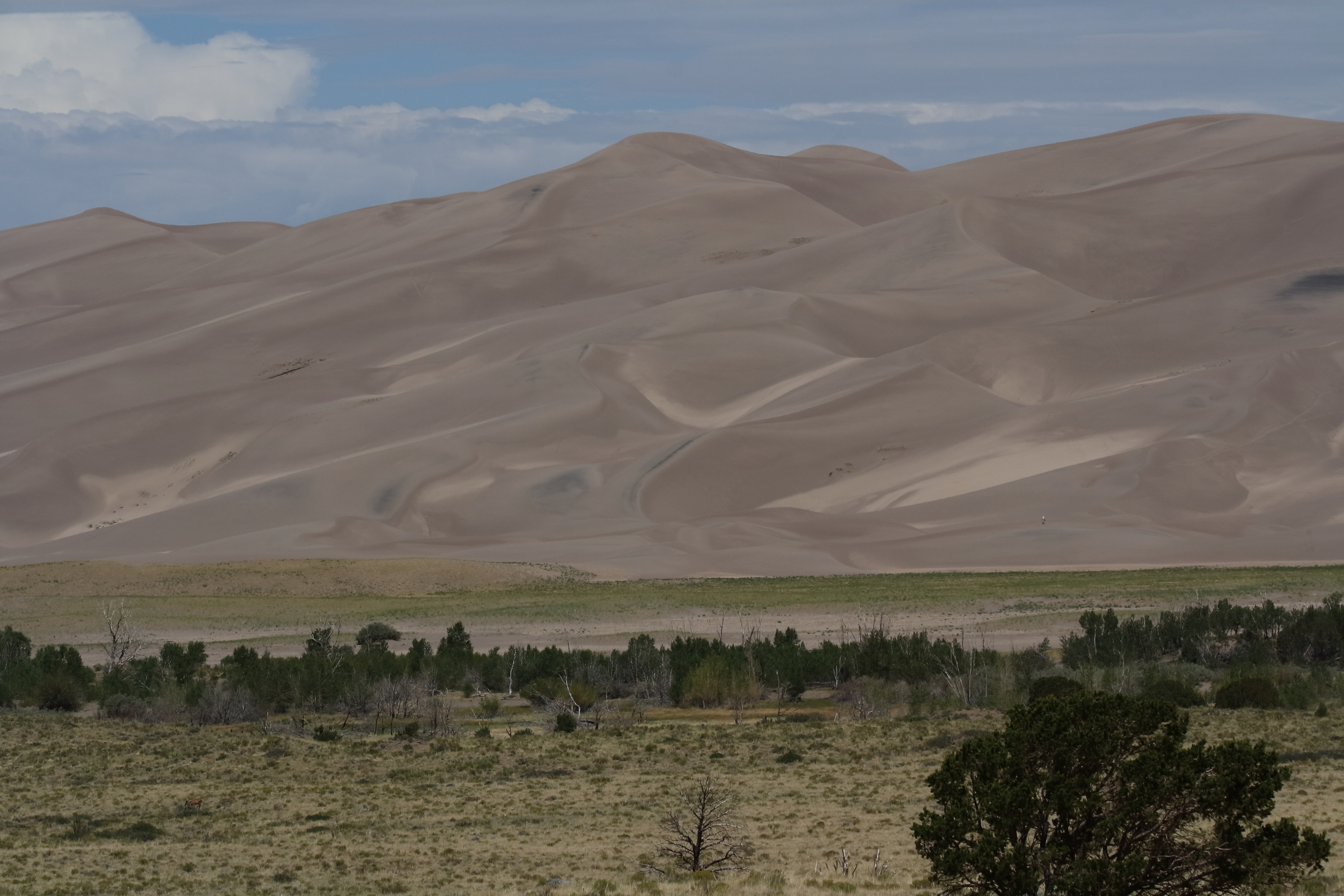
Saturday, 09/03/2022: Post photo — Mountain of Sand.

This is a different type of mountain. A mountain of sand in Great Sand Dunes National Park and Preserve in Colorado. This mountain keeps moving due to the weather. The sand is hot, and it feels like you are in the middle of a desert when you are hiking on the dunes.

That is all for now. Until next week, be safe.

For more photo of other project I have work, visit my website: https://photobyjosephciras.weebly.com or visit me on Facebook at https://www.facebook.com/PhotobyJosephCiras/.

Photographic Thoughts — 08/21/2022 to 08/27/2022

“Essentially what photography is is life lit up.” — Sam Abell

Thank you for all the new views and likes from last week, it helps keep me inspired.

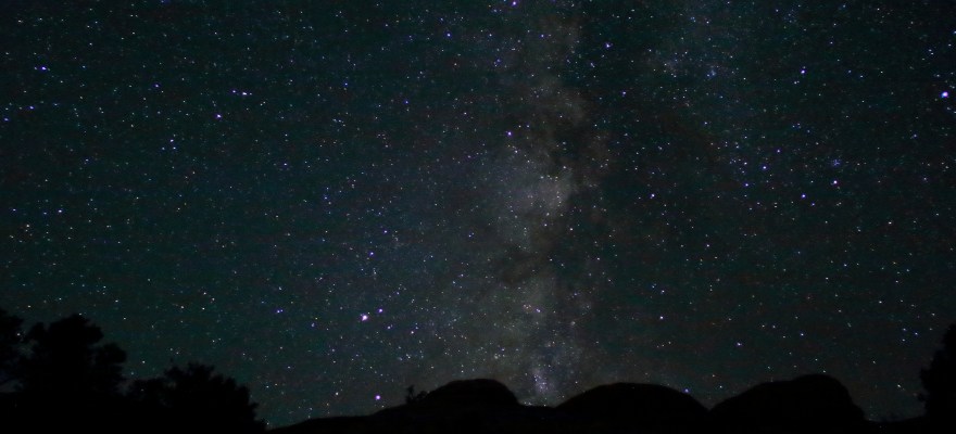
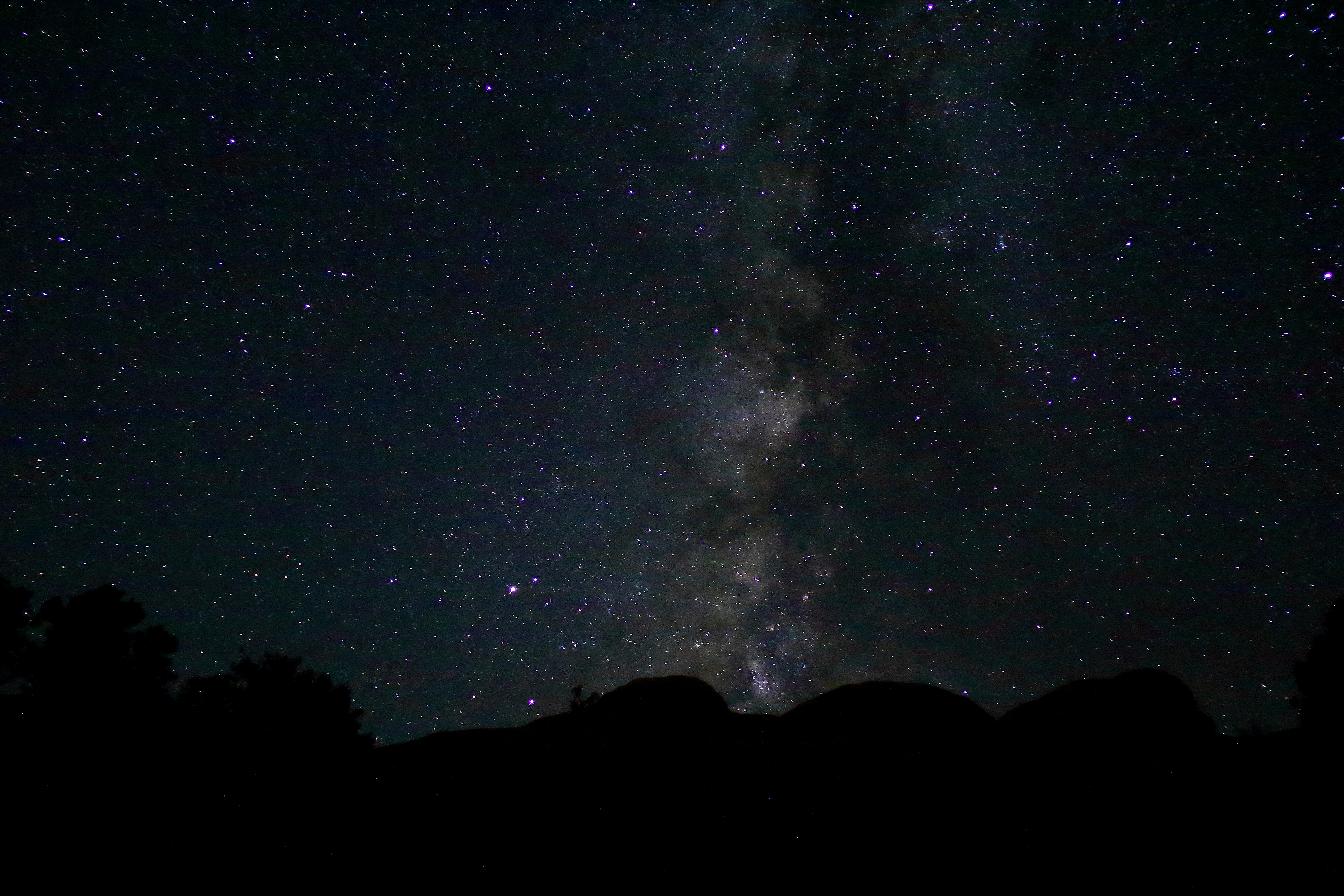
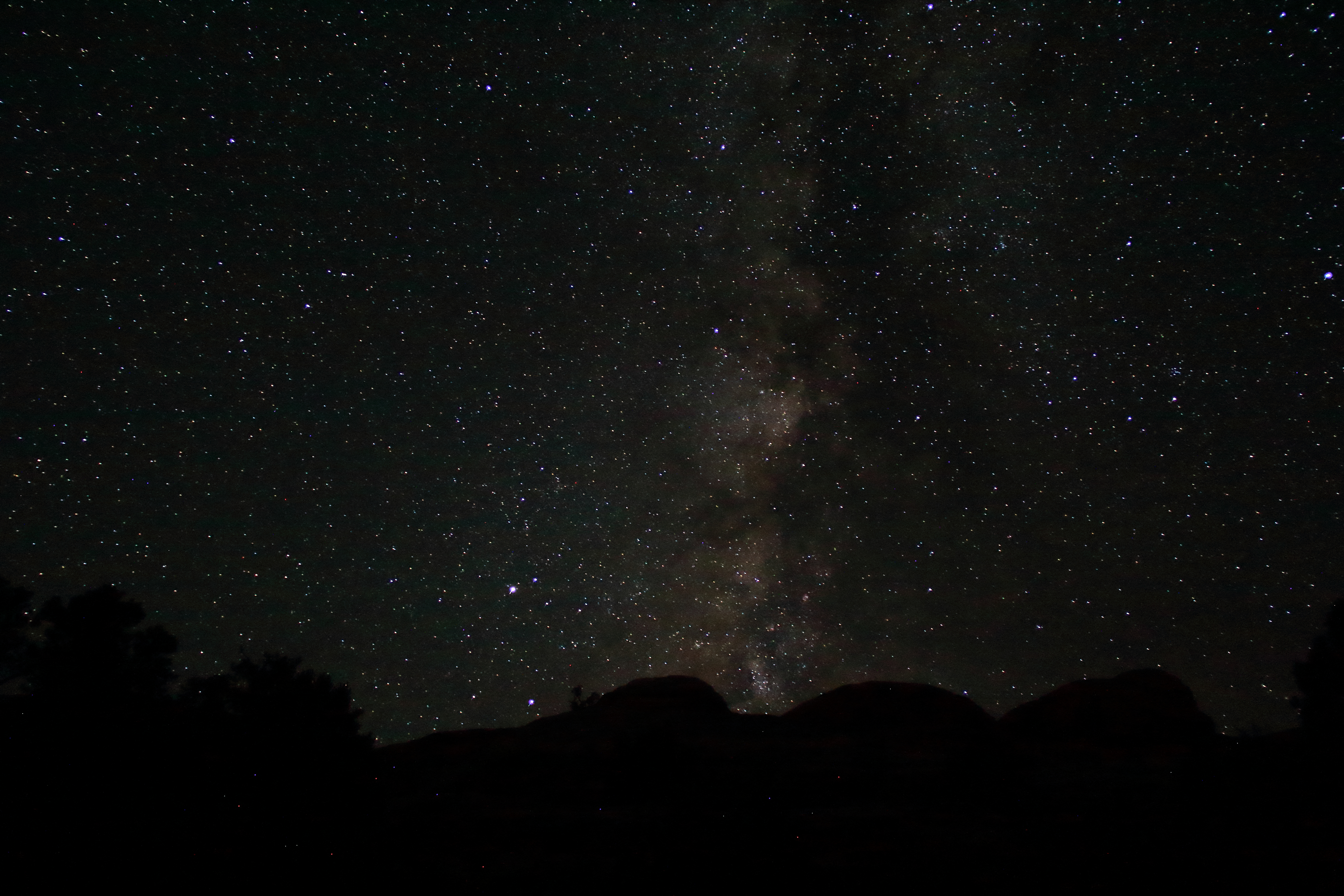
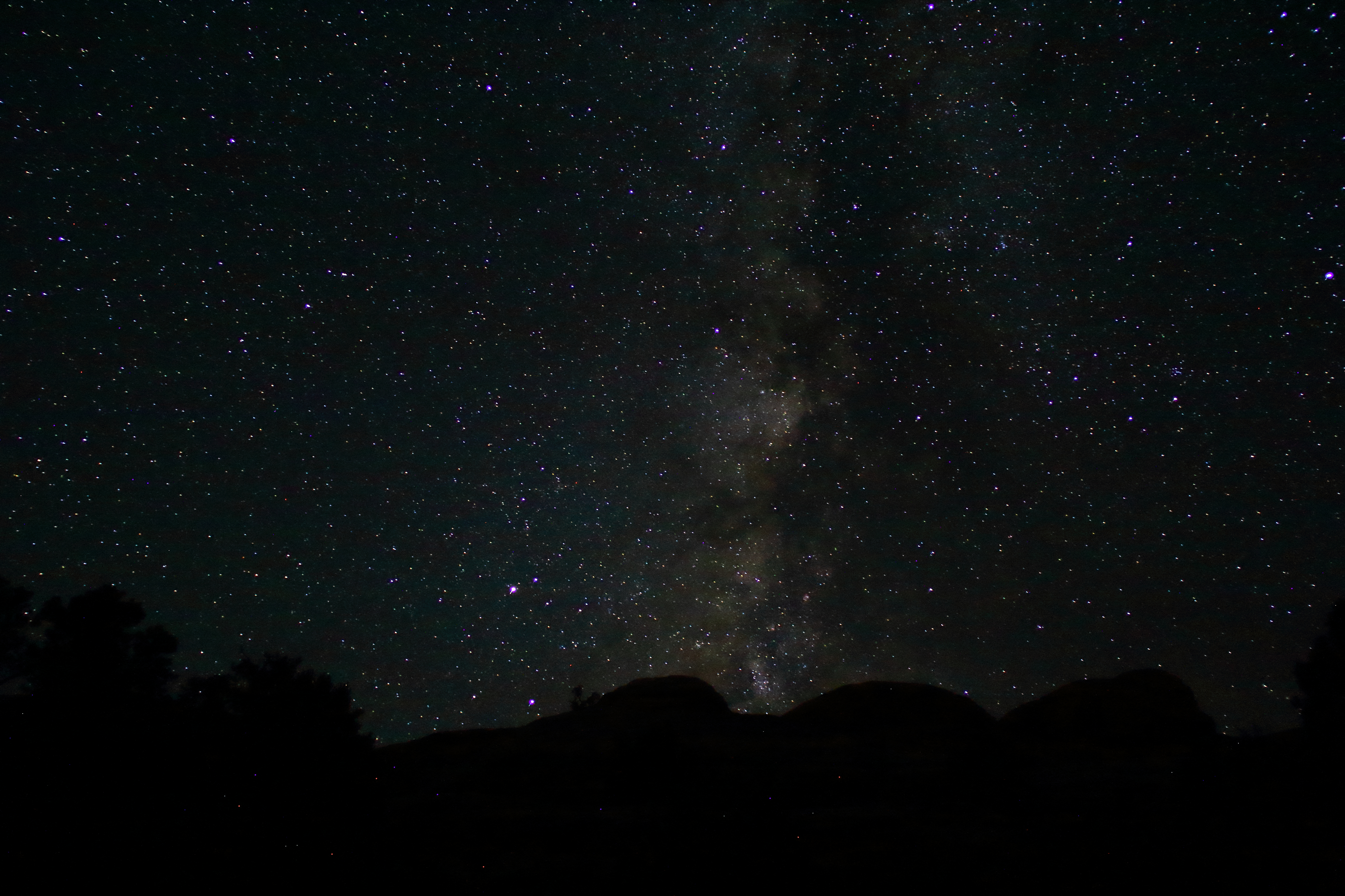
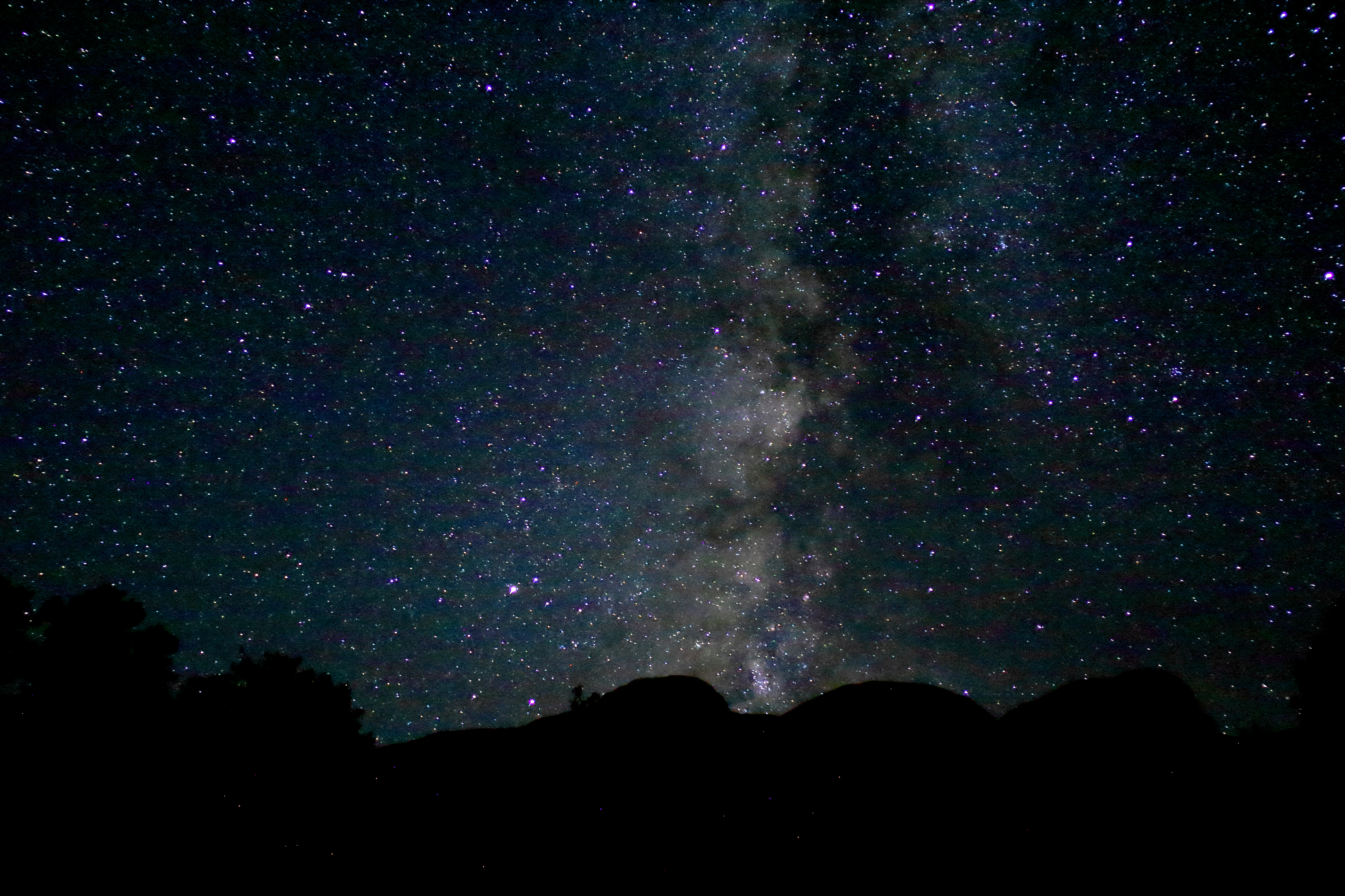
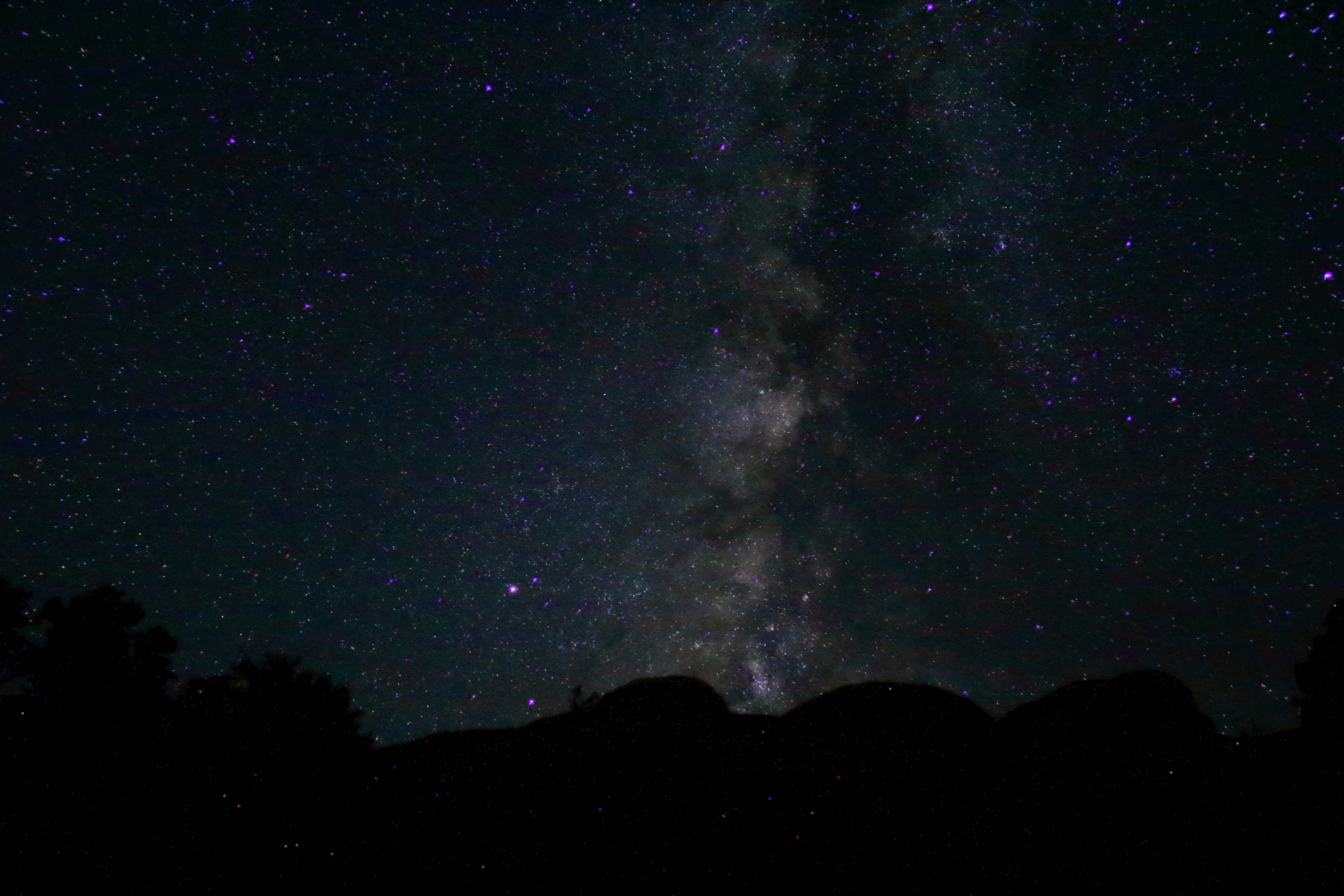
I need an opinion this week. Which Milky Way edit to you like the best?

Photos taken at the Needles section of Canyonland National Park.

Sunday, 08/21/2022: Posted photo — Milky Way_1.

Monday, 08/22/2022: Posted photo — Milky Way_2.

Tuesday, 08/23/2022: Posted photo — Milky Way_3.

Wednesday, 08/24/2022: Posted photo — Milky Way_4.

Thursday, 08/25/2022: Posted photo — Milky Way_5.

Friday, 08/26/2022: Post photo — Milky Way_6.

Saturday, 08/27/2022: Post photo — Milky Way_7.

That is all for now. Until next week, be safe.

For more photo of other project I have work, visit my website: https://photobyjosephciras.weebly.com or visit me on Facebook at https://www.facebook.com/PhotobyJosephCiras/.
Photographic Thoughts — 04/03/2022 to 04/09/2022

“Photography is a way of feeling, of touching, of loving. What you have caught on film is captured forever… It remembers little things, long after you have forgotten everything.” — Aaron Siskind

Thank you for all the new views and likes from last week, it helps keep me inspired.

Here are some more photos of a road trip we took. Looking forward to traveling again this summer. Hiking will be limited, but I will pick up my 50th state (North Dakota).

This week’s blog will only contain information that I have referenced off various web sites. This was the easiest way for me to describe each location. I could ramble on and on about the wonders and beauties of each of these parks.

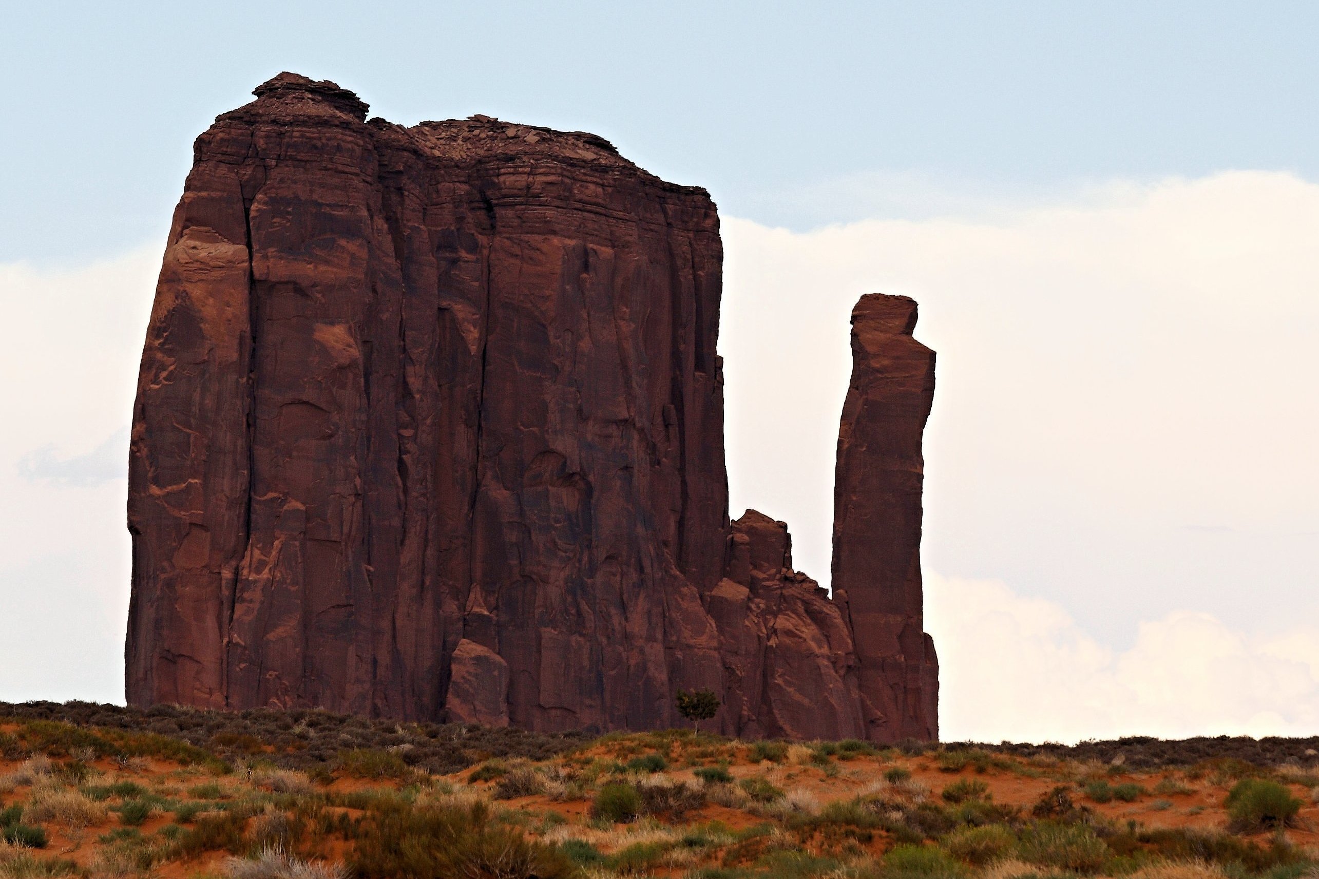
Sunday, 04/03/2022: Posted photo — Monument Valley.

Settings: Canon EOS DIGITAL REBEL XS, ISO 200, f/7.1, 1/400 s, 150 mm.

“Monument Valley, a red-sand desert region on the Arizona-Utah border, is known for the towering sandstone buttes of Monument Valley Navajo Tribal Park. The park, frequently a filming location for Western movies, is accessed by the looping, 17-mile Valley Drive. The famous, steeply sloped Mittens buttes can be viewed from the road or from overlooks such as John Ford’s Point.” ― Google

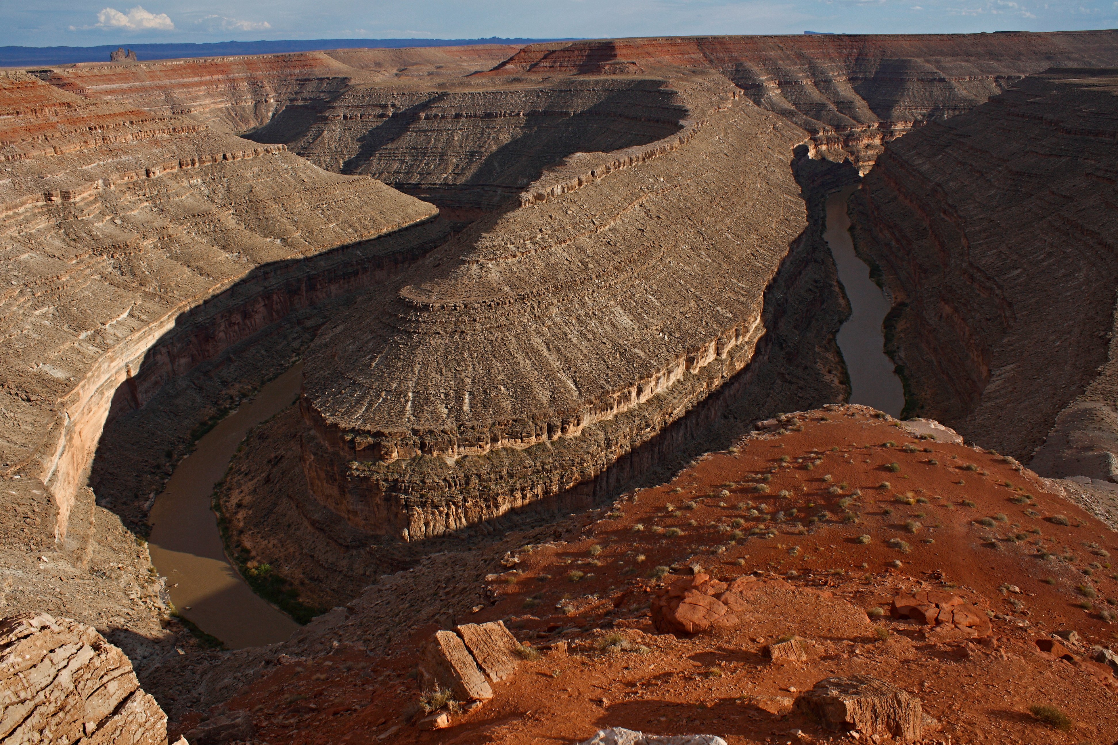
Monday, 04/04/2022: Posted photo — Goosnecks State Park.

Settings: Canon EOS DIGITAL REBEL XS, ISO 200, f/11, 1/250 s, 18 mm.

“On the edge of a deep canyon above the sinuous river meander known as a gooseneck, this small park affords impressive views of one of the most striking examples of an entrenched river meander on the North American continent. The San Juan River twists and turns through the meander, flowing a distance of over six miles while advancing one and a half miles west on its way to Lake Powell. Gaze at the results of 300 million years of geological activity, where the San Juan River winds and carves its way through the desert 1,000 feet below.” — https://stateparks.utah.gov/parks/goosenecks/

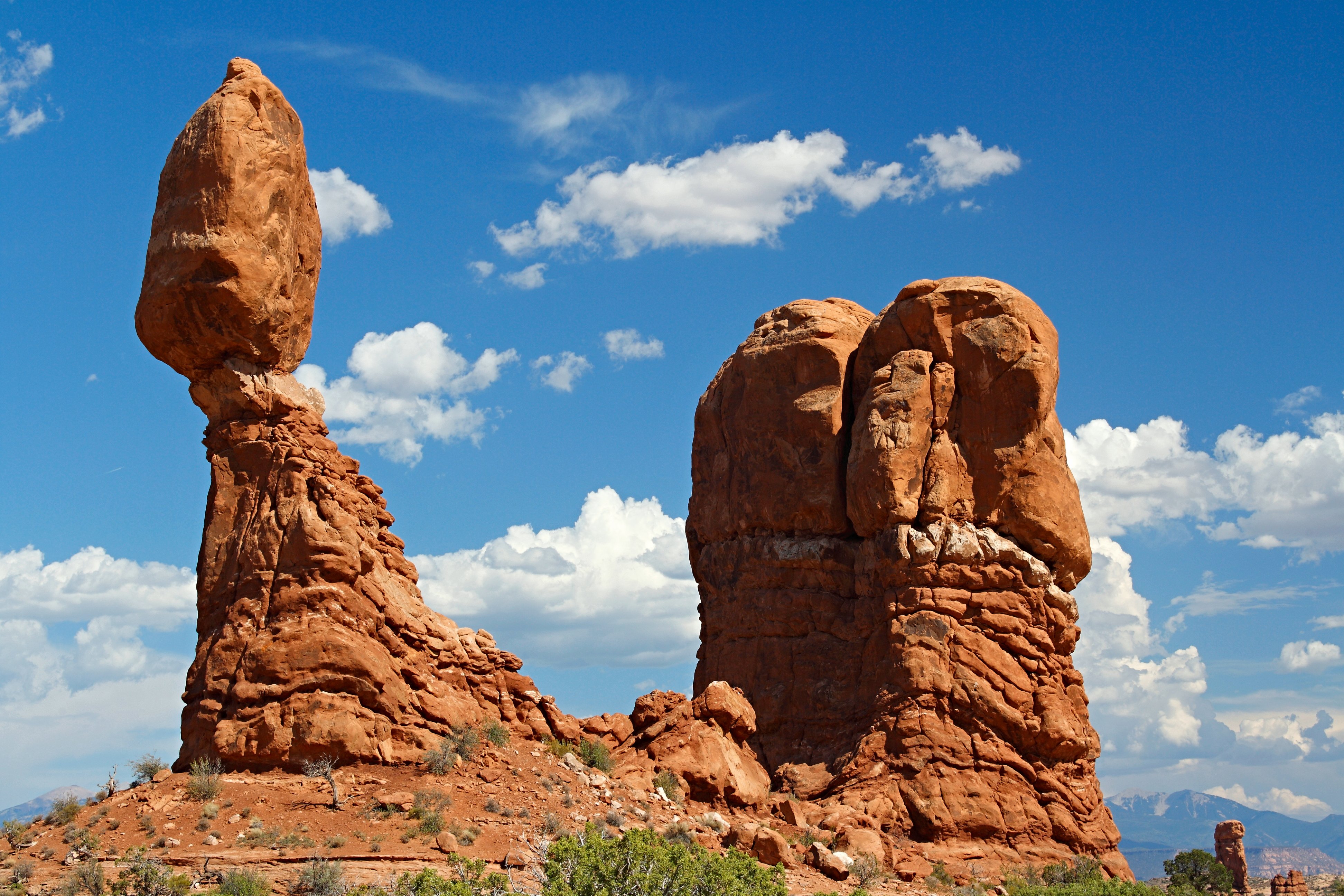
Tuesday, 04/05/2022: Posted photo — Balance Rock.

Settings: Canon EOS DIGITAL REBEL XS, ISO 100, f/8, 1/125 s, 45 mm.

Arches National Park

“Balanced Rock, one of the most iconic features in the park, stands a staggering 128 feet (39m) tall. While this formation may appear to be an epic balancing act, it’s actually not balanced at all. The slick rock boulder of Entrada Sandstone sits attached to its eroding pedestal of Dewey Bridge mudstone. The exposure of these two rock strata layers are ideal for the formation of arches and balanced rocks.” — https://www.nps.gov/arch/planyourvisit/balancedrock.htm

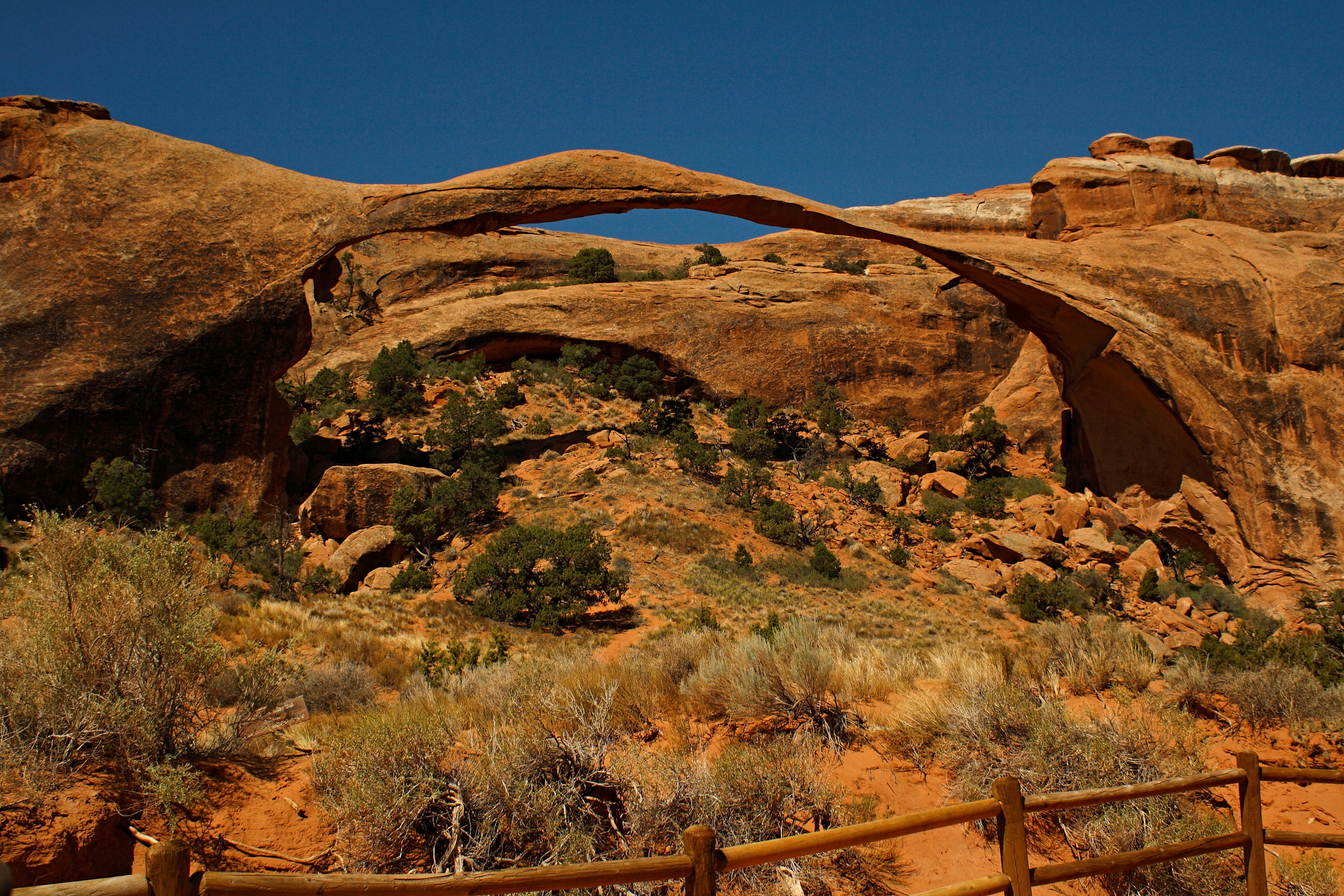
Wednesday, 04/06/2022: Posted photo — Landscape Arch.

Settings: Canon EOS DIGITAL REBEL XS, ISO 200, f/8, 1/125 s, 24 mm.

Arches National Park

“Landscape Arch is the longest arch in North America with a light opening of 306 feet (93.3 meters). This awe-inspiring expanse is only 6 feet (1.8 meters) in diameter at its narrowest. Large segments of the arch came crashing down in the 1990s – proof that the park’s landscape can change dramatically in a instant. Although other arches have fallen, Landscape Arch still hangs on by a very thin thread.” — https://www.nps.gov/arch/planyourvisit/devils-garden.htm

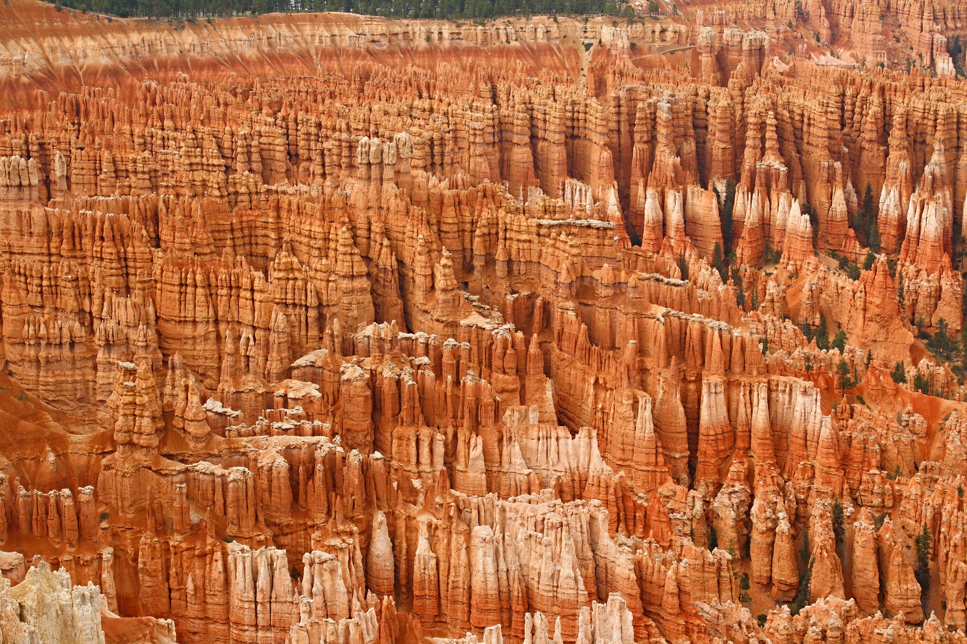
Thursday, 04/07/2022: Posted photo — Amphitheater.

Settings: Canon EOS DIGITAL REBEL XS, ISO 200, f/10, 1/200 s, 42 mm.

Bryce Canyon National Park

“By far the most iconic section of the park, the Bryce Amphitheater is home to the greatest concentration of irregular rock spires (called “hoodoos”) found anywhere on Earth. Viewpoints along the first 3 miles (4.8 km) of the main road provide access to views overlooking this area. This area is referred to as an “amphitheater” as it is a bowl-shaped area shaped by the drainage of seasonal rains and melting snow (not truly a canyon, as those are shaped by flowing rivers)” — https://www.nps.gov/thingstodo/see-the-bryce-amphitheater.htm

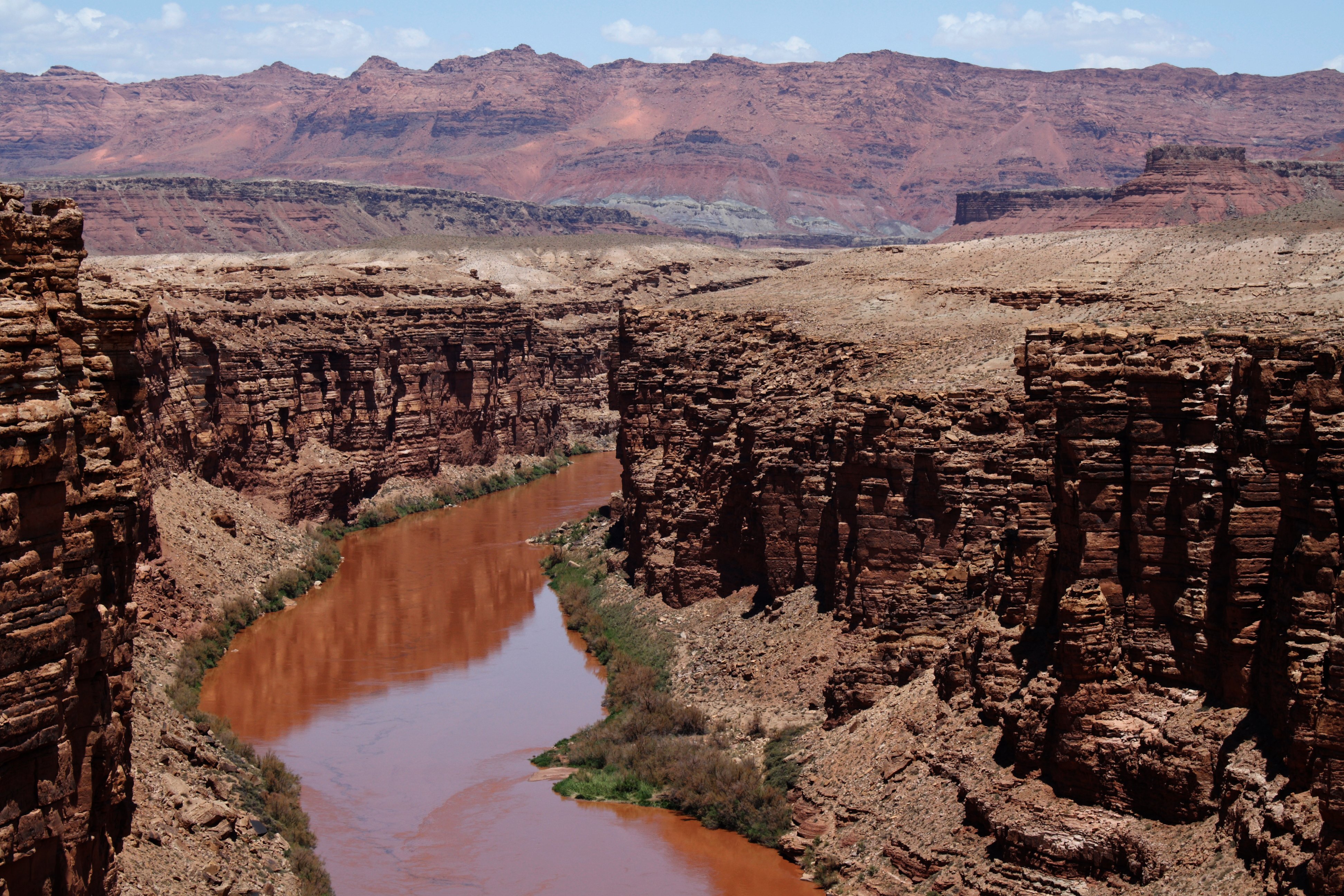
Friday, 04/08/2022: Post photo — View from Navajo Bridge.

Settings: Canon EOS DIGITAL REBEL XS, ISO 200, f/10, 1/125 s, 48 mm.

View from the Navajo Bridge

“Those traveling across the country on Highway 89A between Bitter Springs and Jacob Lake, AZ arrive at two bridges similar in appearance spanning the Colorado River. These two bridges, one historic and one new, represent one of only seven land crossings of the Colorado River for 750 miles (1207 km).” — https://www.nps.gov/glca/learn/historyculture/navajobridge.htm

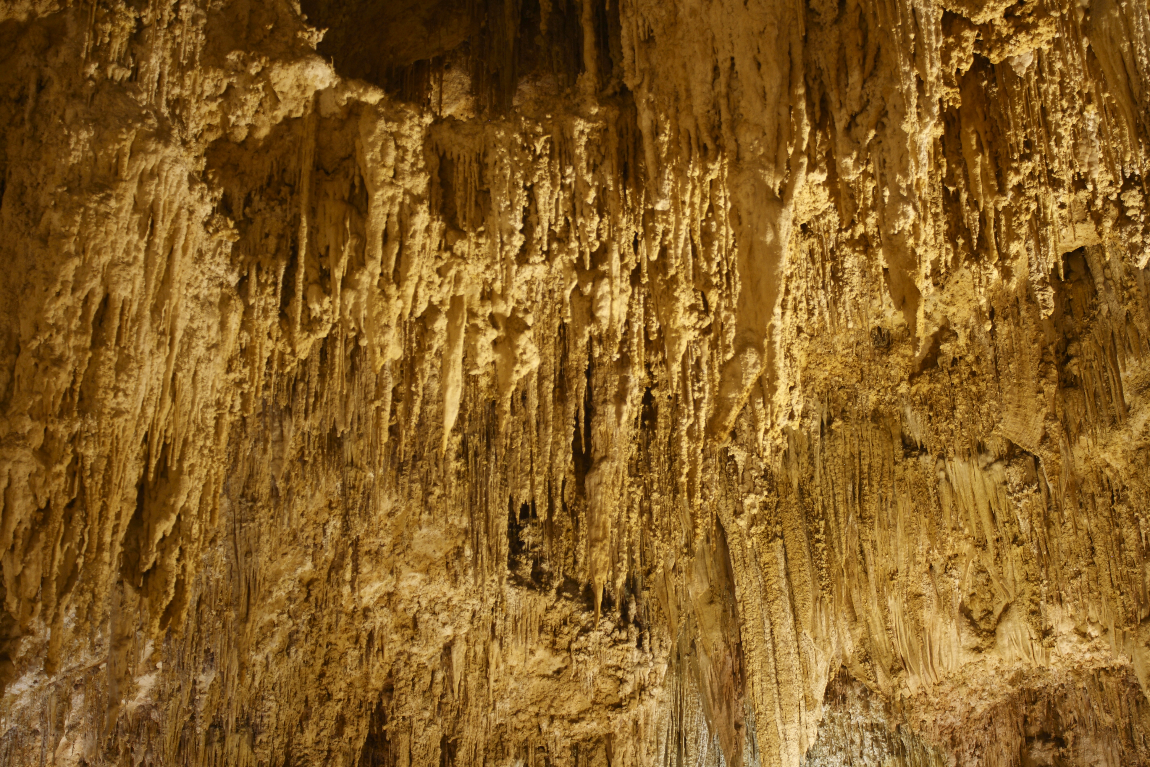
Saturday, 04/09/2022: Post photo — Carlsbad Caverns.

Settings: Canon EOS DIGITAL REBEL XS, ISO 200, f/4.5, 6 s, 33 mm.

“High ancient sea ledges, deep rocky canyons, flowering cactus, and desert wildlife—treasures above the ground in the Chihuahuan Desert. Hidden beneath the surface are more than 119 caves—formed when sulfuric acid dissolved limestone leaving behind caverns of all sizes.” — https://www.nps.gov/cave/index.htm

That is all for now. Until next week, be safe.

For more photo of other project I have work, visit my website: https://photobyjosephciras.weebly.com or visit me on Facebook at https://www.facebook.com/PhotobyJosephCiras/.

Photographic Thoughts — 03/27/2022 to 04/02/2022

“Taking an image, freezing a moment, reveals how rich reality truly is.” — Anonymous

Thank you for all the new views and likes from last week, it helps keep me inspired.
This week I will be posting a few highlights of one of my trips. We called this trip our norther National Part trip. We traveled through Montana, Alberta, Banff, Jasper, Washington state, Idaho, Wyoming, South Dakota, Minnesota, and Iowa during this trip. This trip included visits to many national parks in the United States and Canada, visiting family, visiting natural movie sets, and when to an amusement park in the Mall of America in which I held with the design of a few of the rides.

Sunday, 03/27/2022: Posted photo — Lake McDonald.

Settings: Canon EOS DIGITAL REBEL XS, ISO 100, f/8, 1/400 s, 75 mm.

The first stop on our northern national park tour was in Glacier National Park in Montana. What a wonderful park. It does have many glaciers, some growing and some receding.

Monday, 03/28/2022: Posted photo — Mountain Goat.

Settings: Canon EOS DIGITAL REBEL XS, ISO 100, f/5, 1/125 s, 200 mm.

While we were in Glacier National Park, we took a hike out to Hidden Lake. On the way out to the lake, we had a few mountain goats walk along the trail with us.

Tuesday, 03/29/2022: Posted photo — Hidden Lake.

Settings: Canon EOS DIGITAL REBEL XS, ISO 100, f/9, 1/160 s, 25 mm.

This was a destination, Hidden Lake in Glacier National Park. For your information, this hike took place on July 4 and we did most of our hiking in the snow.

Wednesday, 03/30/2022: Posted photo — Johnston Canyon, Lower Falls.

Settings: Canon EOS DIGITAL REBEL XS, ISO 200, f/11, 1/4 s, 33 mm.

Johnston Canyon to Lower Falls is an extremely popular and scenic trail in Banff National Park, in addition to being one of the busiest in the Canadian Rockies. We were driving around Banff and found the falls. We camped in Baff on our way to Jasper National Park.

Thursday, 03/31/2022: Posted photo — Lake Louise.

Settings: Canon EOS DIGITAL REBEL XS, ISO 200, f/13, 1/250 s, 29 mm.

Lake Louise is world famous for its turquoise lakes, the Victoria Glacier, soaring mountain backdrop. We went to Lake Louise on a weekend, so it was very busy. We took a few photos and then went on our way.

Friday, 04/01/2022: Post photo — Diablo Lake.

Settings: Canon EOS DIGITAL REBEL XS, ISO 200, f/13, 1/250 s, 35 mm.

On our way back from visiting family in Bellingham Washington, we took a trip to Northern Cascades National Park. One of the hikes we took was out to Diablo Lake.

From an information search, it was verified that Diablo Lake is a reservoir in the North Cascade mountains of northern Washington state. It was created by Diablo Dam and is located between Ross Lake and Gorge Lake on the Skagit River at an elevation of 1,201 feet above sea level.

I really like the color of the water in the lake.

Saturday, 04/02/2022: Post photo — Mount Rainier.

Settings: Canon EOS DIGITAL REBEL XS, ISO 200, f/11, 1/250 s, 42 mm.

Mount Rainier National Park. I am impressed every time I see this mountain. Either up close or from the city of Seattle. One time we flew past the mountain. That must have taken about five minutes to do since the girth on the mountain is so great.

Mount Rainier is a large active stratovolcano in the Cascade Range of the Pacific Northwest standing at 14,411′ in elevation. The volcano last erupted in 1894, and when Mount St. Helens erupted in 1980, all eyes were on Mount Rainier since the mountains are in the same chain. It is very interesting to camp in an area that has warnings about the possibility of lava flow. If the mountain erupted, I would think that the lava flow would be the least of our worries.

When we travel to Mount Rainier, we like to visit the Paradise area. I have photographed a few waterfalls in Paradise. When we visited this time, the snow was still very deep. Remember, this was early to mid-July. There was one waterfall that I wanted to photograph in the snow, and I could not find it. I had the GPS coordinates from the times before that I took photos of it. Looking at the GPS coordinates, I came to realize that I was standing on top of the falls.

That is all for now. Until next week, be safe.

For more photo of other project I have work, visit my website: https://photobyjosephciras.weebly.com or visit me on Facebook at https://www.facebook.com/PhotobyJosephCiras/.